Forecast for the Provo Area Mountains

Drew Hardesty
Issued by Drew Hardesty for
Tuesday, January 29, 2013

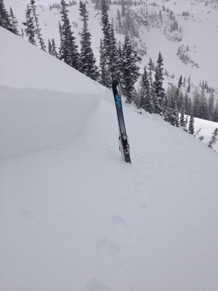
Dangerous, unmanageable avalanche conditions will be on the rise over the next several days. A CONSIDERABLE danger may yet rise to HIGH if the weather forecast verifies. Human triggered slides will become likely on any steep west to north to southeast facing slope at the mid and upper elevations. Natural avalanches will also occur with significant wind loading. The wise bet is to choose non wind drifted south facing terrain or northerly terrain with only moderate slope angles less than 35 degrees with nothing steeper above.

Low
Moderate
Considerable
High
Extreme
Learn how to read the forecast here
Special Avalanche Bulletin
THIS SPECIAL AVALANCHE ADVISORY IS FOR THE MOUNTAINS OF NORTHERN UTAH, TO INCLUDE THE WESTERN UINTAS AND THE MANTI-SKYLINE PLATEAU.
 EXPECTED HEAVY SNOWFALL AND STRONG WINDS WILL CREATE DANGEROUS AVALANCHE CONDITIONS THROUGH THE WEEK. THOSE WITHOUT EXCELLENT AVALANCHE AND ROUTE-FINDING SHOULD AVOID BEING ON OR BENEATH STEEP MOUNTAIN SLOPES.

AN AVALANCHE WARNING IS IN EFFECT FOR THE LOGAN AREA MOUNTAINS TO INCLUDE THE BEAR RIVER RANGE.

Weather and Snow

The next wave has arrived, particularly for the Ogden area mountains. Benefiting from a west to southwest flow, they've already picked up 15" as of 5am and it's still snowing. The central Wasatch lags behind with 2-4" but I suspect they'll catch up in a hurry. The Provo mountains have 2-4" and should pick up more during the day. Winds are reasonable at this time, blowing 15-20mph with gusts to 30. Mt. Ogden has speeds in the 30mph range with gusts to 40. Temps are in the icebox, just above zero.

Riding conditions are, again, phenomenal, though I feel that we be nearing another breaking point with the snowpack. Read on -

Recent Avalanches

Two significant avalanches went reported from the central Wasatch, with a debris from a natural slide noted out of the steep northeast chute of Elk Point on Timpanogos yesterday. This is an radical avalanche path with a starting zone at roughly 10,700' with a vertical line of over 3500'.

The first hard slab triggered in the Brighton backcountry, the Millie back bowls, a steep northwest facing slope at 9800'. Our own Craig Gordon immediately noted a change in the snowpack structure and skiied away as the slope released 3' deep and 80' wide.

The second hard slab, pulling out 2' deep and 200' wide, was remotely triggered in the Maybird Aprons on a steep northerly slope at 9600'.

Ad
Avalanche Problem #1
New Snow
Type
Location
Likelihood
Size
Description

The buried weak recrystallized snow from both January 8th and January 24th have shown their hand with yesterday's foot of snow. Mostly dormant since the 12th, these notoriously persistent weak layers will become only more active and sensitive with additional snow and wind through tomorrow. You'll need to approach all mid and upper elevation west to north to east facing slopes with absolute caution. Typically, these are best managed by lowering your slope angle to less than 30 degrees or so; however, with a snowpack structure conducive to remote triggering, it may be possible to pull the avalanche down on top of you even if traveling through moderate terrain.

Spatial variability is high these days. It warrants another step back. Collapsing will be evidence of local instability. Lack of collapsing means nothing.

Avalanche Problem #2
Persistent Weak Layer
Type
Location
Likelihood
Size
Description

The northwest winds should be increasing through the day and into tomorrow, with ridgetop speeds expected to reach 30mph by early afternoon and up to 40+ by tomorrow. Wind drifts will be prevalent along the ridgelines and will be sensitive to provocation. They'll be more prominent on slopes facing north through east through south, though if tomorrow's speeds verify, drifts will form both well off the ridgelines and in unusual areas. Shooting cracks are typical of recent loading. Test slopes will be key.

Additional Information

We can expect additional wind and snow over the next several days...the forecast calls for 5-9" today with more on the way tonight. Areas favored by a northwest flow will be favored by the afternoon and into the evening. Ridgetop winds are expected to blow 25-30mph today, increasing to 35-45mph tomorrow. Temps will stay cool, in the upper teens, gradually warming through the week.