

Forecast for the Uintas Area Mountains

Saturday morning, January 26, 2013
At and above treeline pockets of MODERATE avalanche danger exist and human triggered avalanches are possible in steep terrain harboring both old and recent deposits of wind drifted snow.
LOW avalanche danger is found in most wind sheltered terrain.
 Weather and Snow
We're in between systems this morning and skies are partly cloudy. Temperatures are in the mid to upper 20's and winds are southerly and light, just blowing 10-15 mph even along the highest peaks. Just an inch or two of snow has fallen in the past 24 and the riding and turning conditions are a bit variable down low. However, with a little elevation gain you can still find soft, creamy powder on wind sheltered shady terrain.
Other observations can be found here.
Wondering why last winter was so crazy? Click here to watch the 2011-12 Utah Winter Review... an excellent recap of last years conditions.
 Recent Avalanches
While not widespread, we noticed a few shallow natural soft slabs breaking about a foot deep in steep leeward terrain yesterday.

Trent points to a weak layer of facets developed during the early January dry spell. Nearly all of our recent shallow avalanche activity revolves around this layer which is now buried and preserved. This is a layer to keep track of, especially with additional snow, water and wind expected in the next few days.
We investigated last Friday's very tragic avalanche accident. A report can be found here.

Persistent Weak Layer
Description
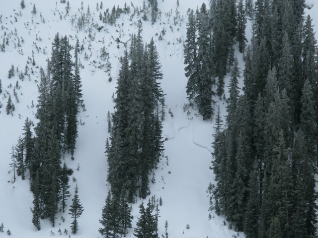
South and southwest winds gusted in the 40's Wednesday, finding enough snow to form shallow soft slabs in steep terrain facing the north half of the compass. While mostly manageable in size, today's slabs have enough punch to knock you off your skis, board, or sled and serve up an unexpected surprise. Fat looking, rounded pillows of snow, especially those that sound hollow like a drum should still be considered suspect and avoided.
Cornice
Description
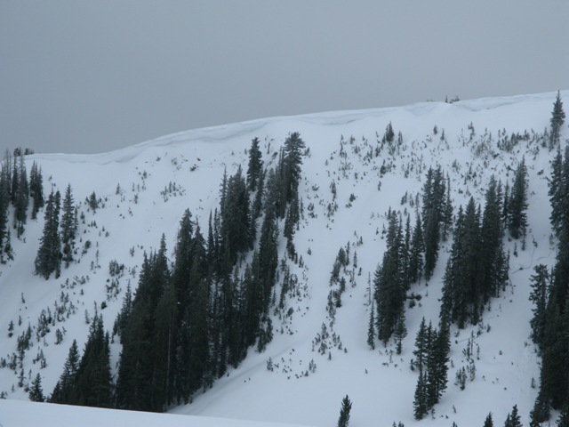
Cornices have grown in the past few days and you definitely don't want to tangle with these unpredictable dragons which may break back further than you might expect, taking you for a fast, violent, body beating ride through trees or over a cliff band.
Additional Information
Low pressure slides south of the region today, giving us a chance of a few light snow showers. Temperatures remain mild with highs in the mid to upper 30's. Southerly winds remain light, just in the 10-20 mph range. Southwest winds increase on Sunday ahead of a Pacific storm system slated to enter the state late Sunday, bringing a shot of snow as the cold front moves through the area. Current forecasted storm totals for Sunday and Monday look to be about a foot.
General Announcements
Remember your information can save lives. If you see anything we should know about, please participate in the creation of our own community avalanche advisory by submitting snow and avalanche conditions. You can call me directly at 801-231-2170, email [email protected], or email by clicking HERE
This is a great time of year to schedule a free avalanche awareness presentation for your group or club. You can contact me at 801-231-2170 or email [email protected]
Donate to your favorite non-profit –The Friends of the Utah Avalanche Center. The UAC depends on contributions from users like you to support our work.
The information in this advisory is from the US Forest Service which is solely responsible for its content. This advisory describes general avalanche conditions and local variations always occur.
The information in this advisory expires 24 hours after the date and time posted, but will be updated by 7:00 AM Sunday January 27th.