Started walking in near zero temperatures, and quickly climbed to more comfortable 20's and 30's.
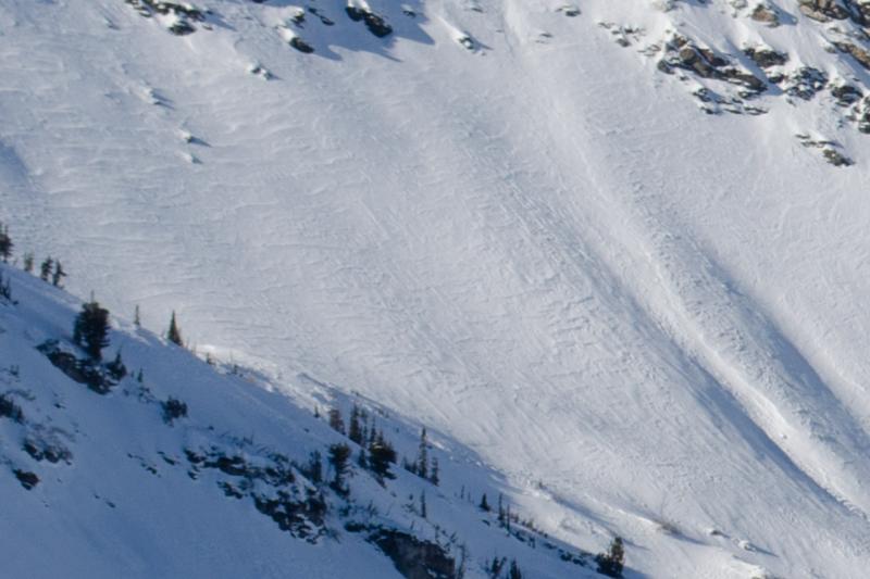
The winds this week have changed the snow surface from New Year's Day. Upper elevations, including the Cutler Basin and some of the higher elevation treed slopes are now wind-affected, with cross-loading, textured, and variable conditions (see photo below from Cutler Basin). We triggered several shallow "wind skins" in the upper elevation trees. It was difficult to trust the snow with each turn as the conditions changed from wind slab to soft snow without any visible indication. Sheltered, settled powder does exist, but it is getting harder to find. The upper elevation snow surface is facetting, but not nearly as much as the lower elevations.
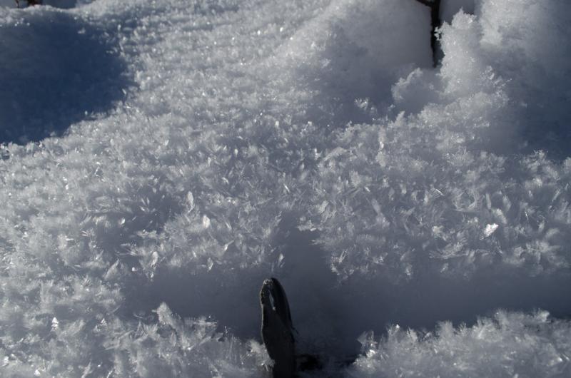
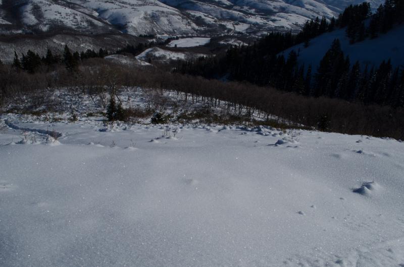
Lower elevations (below approx. 7500'): The very cold temperatures and thin snowpack at lower elevations have exaggerated the temperature gradient, producing very weak facets, and large sized surface hoar (see two photos below). A couple inches of water weight and some wind could easily overload this snow in the future. Travel below 7500 feet continues to be difficult with lots of bush-wacking to be expected if you deviate from the summer trail.
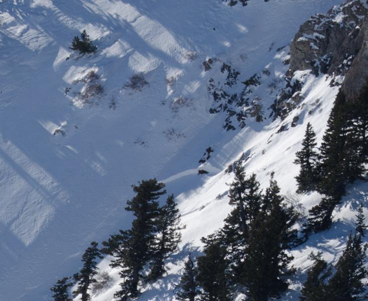
I did observe two small natural avalanches above 9,000 feet that I didn't see on New Year's Day.
I'm fairly certain that at least one of these pockets came out with the winds this week. This was on an ENE aspect near 9500', near a rock band. It was only about 50' x 50' in size, not running very far (did not get a photo).
The other was near 9200' on a SE aspect, 50' wide, 2-feet deep and seemed to have been older, based on the debris being blown in (see photo).