Forecast for the Moab Area Mountains

Max Forgensi
Issued by Max Forgensi for
Saturday, January 5, 2013

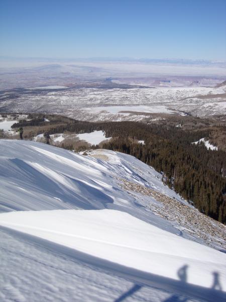
The Bottom Line for Saturday will be an Avalanche Danger of LOW in most areas with MODERATE avalanche danger existing in specific areas for hard wind slabs. Practice safe travel techniques and manage your terrain wisely. Some general rules to follow: assess the slope for cross loading, ski cut the slope before committing and ski one at a time.

Low
Moderate
Considerable
High
Extreme
Learn how to read the forecast here
Weather and Snow

December's dreamy dumps and powder are now a distant memory as the true grit of southeast Utah's mountains has taken over in early January. A general rule in forecasting is: NEVER make a declarative statement...and I did, saying wind would not be a factor in Thursday's forecast. Well, the wind was very pervasive creating variable conditions across the La Sal range. Winds scoured ridges, carved sastrugi, depositing wind skins and hard slabs. The best bet for backcountry skiing will be in sheltered locations below tree line where ground hazards may be coming back into play. The Gold Basin study plot has 40"(100 cm) of snow on the ground while Camp Jackson in the Abajo's have a thin 21" (52 cm) of snow on the ground.

The good news is LUNA volunteers have set all the tracks into Gold Basin and over Geyser Pass including the Lasaloppet loop. The corduroy is wide and firm. Thank you Matt and Jessie!

Moderate temperatures over the weekend will make high alpine touring and climbing peaks a wonderful option as well. Get out of the cold inversion in the valleys and up to the mountains!

Recent Avalanches

The north ridge of Horse Creek. Scoured and sastrugi which usually holds heaps of snow.

We need your observations! I will be in a training all next week. Please Submit Backcountry Observations under the DETAILED INFO drop down menu at www.utahavalanchecenter.org

Ad
Avalanche Problem #1
Persistent Weak Layer
Type
Location
Likelihood
Size
Description

The cold smoke of yesterday is now the wind slab of today. Variable wind slab quality exists at all elevations, mostly wind skins and some breakable slabs up to 4" thick and very manageable. The most dangerous wind slabs will be the hard slab variety. Although not as prevalent, if triggered they may be dangerous. Be careful of cross-loaded terrain features as well.

Avalanche Problem #2
Wet Snow
Type
Location
Likelihood
Size
Description

As the days continue to warm, so will the chance of sluffs. On yesterday's tour, members of the party were able to trigger some damp sluffs from their ski tracks. Very manageable yet something to consider.

Additional Information

Today: Sunny, with a high near 30. North northwest wind 5 to 10 mph becoming light west northwest in the afternoon.

Tonight: Mostly clear, with a low around 16. West southwest wind 5 to 15 mph becoming southeast in the evening.

Sunday: Mostly sunny, with a high near 27. South wind 10 to 15 mph, with gusts as high as 25 mph.

Sunday Night: Mostly cloudy, with a low around 14. South wind 5 to 10 mph.

Monday: Mostly sunny, with a high near 27. Light north northeast wind becoming north 5 to 10 mph in the afternoon.

Monday Night: Partly cloudy, with a low around 15.

General Announcements

The Utah Avalanche Center-Moab is on Facebook!

The Friends of the La Sal Avalanche Center are have been an important partner to the forecast office in Moab for over 20 years.

Go to their website to donate. They help with purchasing weather instrumentation, provide field observers and upkeep 3 weather stations in the La Sal and Abajo Mountains. Thanks!

The Utah Avalanche Center-Moab will be holding a Basic Avalanche Awareness talk on Friday, January 18th at 6:30 pm at the Grand County Library. The following day, January 19th, there will be an avalanche rescue clinic at the Geyser Pass TH.

On February 1st through the 3rd, the UAC-Moab is hosting a Level I AIARE Avalanche Course. Interested? Call Max Forgensi at his office phone (435-636-3355) for more details and to sign up.