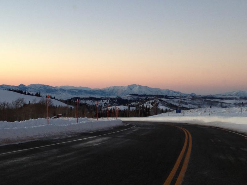
Forecast for the Skyline Area Mountains

Craig Gordon
Issued by Craig Gordon for
Saturday, January 5, 2013

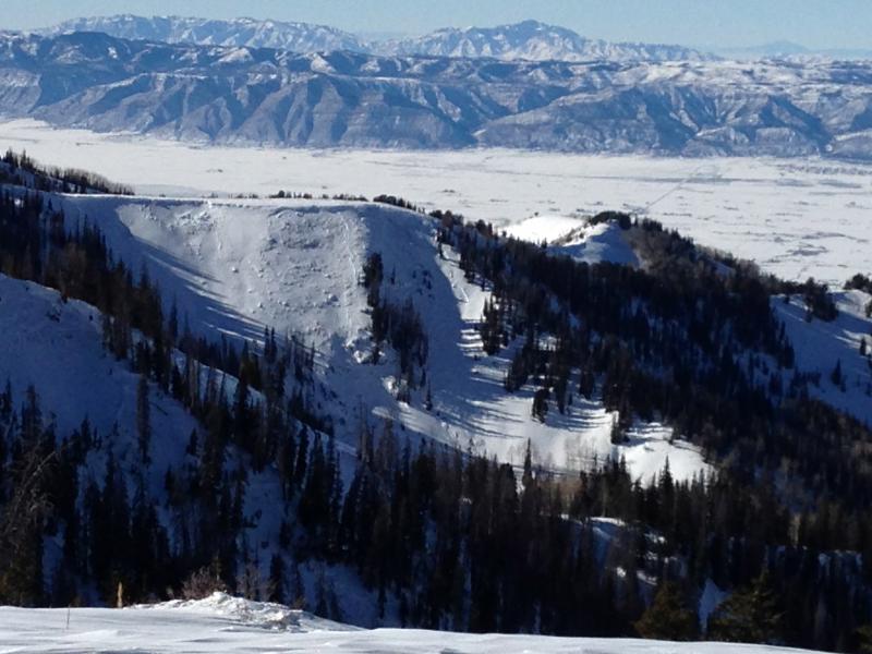
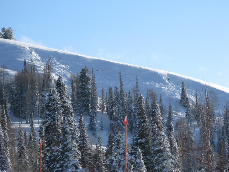
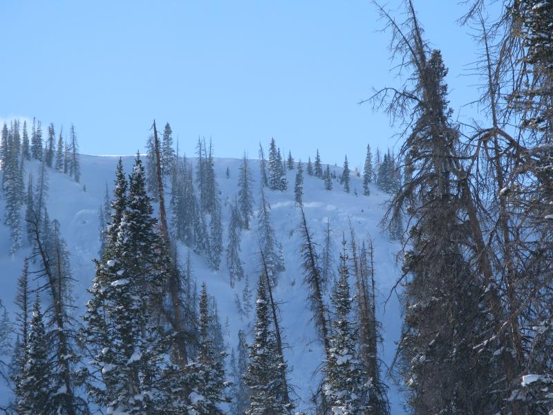
Terrain to avoid- Steep, rocky, upper elevation slopes where human triggered avalanches breaking near the ground are still possible.

In general though, you'll find a MODERATE avalanche danger and human triggered avalanches are possible on steep, wind drifted slopes.

LOW avalanche danger is found in wind sheltered terrain.

Low
Moderate
Considerable
High
Extreme
Learn how to read the forecast here
Special Announcements

Please join us on Thursday evening, 1/24 and Saturday, 1/26 for a day of learning avalanche and advanced riding skills with Craig & Trent from the Utah Avalanche Center and Dan Gardiner and the Boondockers crew. Details and sign up here

Weather and Snow

Above the cold valley inversions you'll find clear skies and temperatures in the mid to upper teens. West-southwest winds are blowing 10-20 mph along the summit. The deep snow from last week has settled out and riding conditions are about as good as they get on a go anywhere, supportable base.

Beautiful weather and outstanding riding conditions will be found this weekend on the Skyline.

Recent Avalanches

Remnants of the Christmas week storms and avalanche cycle. While not widespread, large pockety avalanches breaking to the ground were a common theme.

Ad
Avalanche Problem #1
New Snow
Type
Location
Likelihood
Size
Description

While most terrain offers green light conditions, steep, rocky, upper elevation slopes facing the north half of the compass continue to be suspect and have the possibility to produce large human triggered avalanches breaking to old snow near the ground. There's plenty of terrain on the Skyline to ride this weekend and not even have to worry about avalanches. However, if your travels take you into complex terrain today stop for a moment and carefully assess the snowpack and think about the consequences of triggering an avalanche.

Complex terrain like this slope in Rolfson Canyon is primetime for triggering a deep, dangerous slide this weekend.

Avalanche Problem #2
Persistent Weak Layer
Type
Location
Likelihood
Size
Description

Both old and fresh wind drifts are found on steep leeward terrain facing the north half of the compass. Fat looking, rounded pillows of snow, especially those sound hollow like a drum should be avoided.

Additional Information

High pressure will give us bright sunshine through the weekend, before a weak storm slides through the region late Monday. Today you can expect high temperatures in the upper 20's with overnight lows in the mid teens. Southwest winds remain manageable, blowing 15-25 mph along the high ridges. Light snow is expected late Monday night with minimal accumulations. A stronger system is on tap for Thursday.

General Announcements

Remember your information can save lives. If you see anything we should know about, please participate in the creation of our own community avalanche advisory by submitting snow and avalanche conditions. You can call Craig Gordon directly at 801-231-2170, email [email protected], or email by clicking HERE

This is a great time of year to schedule a free avalanche awareness presentation for your group or club. You can contact me at 801-231-2170 or email [email protected]

Donate to your favorite non-profit –The Friends of the Utah Avalanche Center. The UAC depends on contributions from users like you to support our work.

The information in this advisory is from the US Forest Service which is solely responsible for its content. This advisory describes general avalanche conditions and local variations always occur.

The advisory expires 24 hours after the date and time posted, but will be updated by 7:00 AM Saturday Jan. 12, 2013