

Forecast for the Ogden Area Mountains
Saturday morning, December 15, 2012
Avoid terrain: steeper than about 33 degrees on mid and upper elevation northeast, north, northwest and east facing slopes.
Safer Terrain: wind sheltered, lower angle slopes (30 degrees or less).
We expect the avalanche danger to increase to Considerable by Sunday and High by Monday.
 Special Announcements
Discount lift tickets are in! Go to http://www.backcountry.com/utah-avalanche-center to get tickets from our partners at Alta, Beaver Mountain, Brighton, Canyons, Deer Valley, Park City, Powder Mountain, Snowbasin, Snowbird, Solitude, Sundance, and Wolf Mountain. All proceeds benefit the Utah Avalanche Center. A big thanks for our world class mountain resorts - we couldn't do it without your partnership.
 Weather and Snow
Get out the Bing Crosby this morning and cue up White Christmas. 7-12 inches of low density snow has fallen in the Cottonwood Canyons with a few more inches on the way. Yes, it should be a fabulous day to get out. There is about 3 inches in the Ogden and Logan area mountains, 4 inches in the Uintas and 5 inches in the Provo area mountains. Water weight is under .5 inches in most places except slightly more in the deeper snowpack areas. Winds have been fairly light to moderate from the southwest.
 Recent Avalanches
Activity in the Salt Lake area mountains:
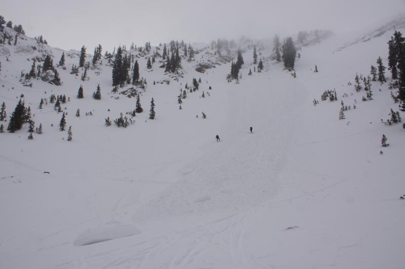
Yesterday, it appeared that someone kicking a cornice at the top of Days Fork triggered a large cornice that subsequently triggered a sizable hard slab below, which ran to the bottom of the bowl. Another party watched it happen from below but the avalanche did not hit them. We do not know if the party above intentionally triggered the cornice but we want to remind everyone to never kick cornices unless you can be certain no one is below. You can see their complete report HERE.
Another party along the ridge line between Little Superior and Superior was able to trigger a small hard slab in extreme terrain. (Report HERE)
Finally, Avalanche control in upper Big Cottonwood Canyon triggered a large hard slab (2-5' deep, 300' wide) on an upper elevation east facing slope. It was the first serious avalanche control in this area so it is probably similar to conditions found in the backcountry.
Otherwise, quite a few "volunteer stability testers" as I call them, were out yesterday and did not trigger any avalanches.

New Snow
Description
See the quick video I did yesterday for an overview of our snowpack structure in the Salt Lake area mountains. It seems to be similar in the Ogden area mountains. We have a buried layer of weak, faceted snow 1-2 feet deep on most of the mid and upper elevation, northwest, north, northeast and east facing slopes. It has been rather dormant these past few days--just waiting for more weight to reactivate it. Today's new snow has impressive depth, but wimpy weight. So I'm guessing it will not change the avalanche conditions too much. But as the weight adds up, especially Sunday through mid week, you can expect the avalanche danger to rise to Considerable and High. These transition times of increasing avalanche danger can be especially tricky so play it conservative today.
The main problem with low density new snow is that it changes human behavior more than snowpack behavior. It entices powder-starved people to jump into potentially dangerous terrain. I'm continuing with Moderate danger today but remember Moderate does not mean safe. It means that there are localized places where it's possible to trigger a dangerous avalanche. I would continue to keep your steepness under 33 degrees on the slopes with buried faceted snow I mentioned above. (For instance, yesterday I roped up to dig a snowpit on a steep northeast facing slope.)
Here's a good observation from the Powder Mountain backcountry.
New Snow
Description
Watch for sluffing and occasional soft slabs within the new snow, especially on the steep slopes. Although the wind is light to moderate today, if the wind does come up you can expect the avalanche danger to instantly rise. We expect this to occur on Sunday.
Additional Information
We're expecting another 2-4 inches of low density snow this morning before turning into light showers. Winds will mercifully remain light to moderate with ridge top temperatures in the mid 20's. We will probably get another inch or two overnight.
On Sunday, we expect the winds to increase, with another foot of snow into Monday and perhaps another foot or more of snow by Wednesday. Expect avalanche danger to rise to HIGH.
General Announcements
Go to http://www.backcountry.com/utah-avalanche-center to get tickets from our partners at Ala, Beaver Mountain, Brighton, Canyons, Deer Valley, Park City, Powder Mountain, Snowbasin, Snowbird, Solitude, Sundance, and Wolf Mountain. All proceeds benefit the Utah Avalanche Center.
If you trigger an avalanche in the backcountry - especially if you are adjacent to a ski area – please call the following teams to alert them to the slide and whether anyone is missing or not. Rescue teams can be exposed to significant hazard when responding to avalanches, and do not want to do so when unneeded. Thanks.
Salt Lake and Park City – Alta Central (801-742-2033), Canyons Resort Dispatch (435-615-3322)
Ogden – Snowbasin Patrol Dispatch (801-620-1017)
Powder Mountain Ski Patrol Dispatch (801-745-3773 ex 123)
Provo – Sundance Patrol Dispatch (801-223-4150)
Dawn Patrol Forecast Hotline, updated by 05:30: 888-999-4019 option 8.
Twitter Updates for your mobile phone - DETAILS
Daily observations are frequently posted by 10 pm each evening.
Subscribe to the daily avalanche advisory e-mail click HERE.
UDOT canyon closures UDOT at (801) 975-4838
Wasatch Powderbird Guides does daily updates about where they'll be operating on this blog http://powderbird.blogspot.com/ .
Remember your information can save lives. If you see anything we should know about, please participate in the creation of our own community avalanche advisory bysubmitting snow and avalanche conditions. You can also call us at 801-524-5304 or 800-662-4140, or email by clicking HERE
Donate to your favorite non-profit –The Friends of the Utah Avalanche Center. The UAC depends on contributions from users like you to support our work.
This advisory is produced by the U.S. Forest Service, which is solely responsible for its content. It describes only general avalanche conditions and local variations always exist. Specific terrain and route finding decisions should always be based on skills learned in a field-based avalanche class.