


Forecast for the Ogden Area Mountains

Monday morning, December 10, 2012
The Avalanche Danger is CONSIDERABLE today on steep, wind drifted slopes at the upper elevations, and MODERATE on the steep mid and upper elevation slopes.
Avoid: any steep slope with fresh drifts of windblown snow, which will be most widespread along and just below ridgelines, on northeast through southeasterly facing slopes. Slides triggered in the new wind drifts may step down, breaking out on deeper weak layers.
Go To Terrain: wind sheltered slopes, less steep than about 33 degrees.
 Special Announcements
Whole Foods in Cottonwood Heights is partnering with the Utah Avalanche Center to hold an avalanche awareness day on Thursday, 12/13. There will be free holiday food tasting throughout the store from 4-7pm, a free Know Before You Go talk at 7 pm, and 5% of the store's daily revenue will be DONATED TO THE UAC!
The Brighton women’s beacon clinic coming up this Wednesday at still has a number of spots left. DETAILS
 Weather and Snow
It is snowing lightly in the mountains this morning, and it’s a full on warming trend. After dipping into the single digits, temperatures in the Ogden area mountains are back into the teens. Unfortunately, the northwesterly winds didn’t lose anytime increasing, too – many stations are averaging 10 to 20 mph, with the highest peaks gusting in the 30s and 40s.
Looking at running storm totals since about Friday, there is foot or more of new snow in the upper elevations of the Cottonwoods, 7-10 inches mid elevations on the Park City side, and up to 6” in the Ogden and Provo mountains.
 Recent Avalanches
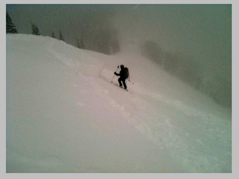
Two backcountry avalanches were triggered yesterday from shallower snowpack, wind drifted easterly facing slopes. One was on Squaretop, 9,600', that broke out well above the 3rd person. The other was on Reynolds, 9,400', east facing, a stubborn, heavily wind loaded pocket that ran between two very thin crusts, above the November near surface facets. In contrast, there were probably 100's recreating in the deeper snowpack areas of the upper Cottonwoods with good stability yesterday.
The resorts got a smattering of new snow soft slabs and sluffs, with one larger new snow slide in backcountry like terrain.

Persistent Weak Layer
Description
The moderate to strong westerly winds have lots of snow available to drift, and winds can pile up snow faster than any storm. Drifts 1 to 3 feet deep are possible, and should be avoided on all steep slopes. Drifts may be right along the ridgelines, or cross loaded off the ridges on mid slope break overs, gully walls or around sub ridges. I expect drifting along the mid elevation ridgelines, too, below 10,000’, in addition to the high ridges.
New Snow
Description
Today’s wind drifts may start to overload some of the buried faceted weak layers we have in the snow pack. The snowpack is very complex, but some patterns do exist – buried weak snow layers of facets and crusts are most widespread on northwest through southeast facing slopes, and weakest in shallower snowpack areas at the upper elevations. If you are heading to steep slopes, take the time to dig down multiple times, jump on test slopes, plunge your ski pole into the snow pack, and realize the snowpack can change rapidly over short distances.
Additional Information
Another disturbance will bring 3 to 5” of denser, windblown snow to the mountains today, with strong winds and warming temperatures. Winds will generally be from a westerly direction, and remain in the 15 to 25 mph range with gusts in the 30s. The highest ridges and peaks will have averages 40 to 50 mph, with gusts in the 60s. Temperatures will warm to near 20 at 8,000’ and into the mid to upper teens at 10,000’. Weak high pressure for midweek, with more snow forecast as we approach the weekend.
General Announcements
If you trigger an avalanche in the backcountry - especially if you are adjacent to a ski area – please call the following teams to alert them to the slide and whether anyone is missing or not. Rescue teams can be exposed to significant hazard when responding to avalanches, and do not want to do so when unneeded. Thanks.
Salt Lake and Park City – Alta Central (801-742-2033), Canyons Resort Dispatch (435-615-3322)
Ogden – Snowbasin Patrol Dispatch (801-620-1017)
Provo – Sundance Patrol Dispatch (801-223-4150)
Dawn Patrol Forecast Hotline, updated by 05:30: 888-999-4019 option 8.
Twitter Updates for your mobile phone - DETAILS
Daily observations are frequently posted by 10 pm each evening.
Subscribe to the daily avalanche advisory e-mail click HERE.
UDOT canyon closures UDOT at (801) 975-4838
Wasatch Powderbird Guides does daily updates about where they'll be operating on this blog http://powderbird.blogspot.com/ .
Remember your information can save lives. If you see anything we should know about, please participate in the creation of our own community avalanche advisory by submitting snow and avalanche conditions. You can also call us at 801-524-5304 or 800-662-4140, or email by clicking HERE
Donate to your favorite non-profit –The Friends of the Utah Avalanche Center. The UAC depends on contributions from users like you to support our work.
This advisory is produced by the U.S. Forest Service, which is solely responsible for its content. It describes only general avalanche conditions and local variations always exist. Specific terrain and route finding decisions should always be based on skills learned in a field-based avalanche class.