Forecast for the Uintas Area Mountains

Mark Staples
Issued by Mark Staples for
Sunday, April 7, 2024
The avalanche situation is pretty straight-forward, and the only issue will be shallow slabs of wind drifted snow that you could trigger near and above treeline. These should be easy to see and avoid.
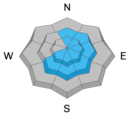
For today, the avalanche danger is MODERATE near and above treeline. Below treeline the danger is LOW.
Low
Moderate
Considerable
High
Extreme
Learn how to read the forecast here
Weather and Snow
Since yesterday, the Uintas received 3-4 inches of snow (0.3" water). A single SNOTEL site near Wolf Creek Pass shows 8 inches of snow (0.5" water) which tells me a few other places may have similar amounts but it's pockety.
This morning, temperatures are hovering in the teens F with ridgetop winds blowing 11-23 mph from the WNW with gusts 20-30 mph.
Today will be mostly cloudy with temperatures struggling to rise into the low to mid 20s F. Winds should ease and blow from the west. There should be a few snow flakes dancing in the air.
This coming week, expect cool conditions Monday followed by a ridge of high pressure bringing warm sunny weather through the week. Another storm system may be lined up next weekend. In their forecast discussion this morning, the National Weather Service said "Warm weather lovers, you may choose to skip this paragraph if you want to reside in ignorant bliss. Yet another trough is favored to develop this weekend, bringing more precipitation and much cooler weather to the area."
Recent Avalanches
No significant avalanches have been reported over the last few days. Archived avalanche activity and trip reports are listed HERE.
Ad
Avalanche Problem #1
Wind Drifted Snow
Type
Location
Likelihood
Size
Description
Winds blew strong from the south on Friday but didn't have much snow to move. They abruptly shifted direction Friday afternoon and calmed, but then slowly started increasing through the day yesterday. As winds increased yesterday, they blew from the west and a little bit from the northwest.
With only 3-4 inches of new snow to whip around, freshly formed slabs of wind drifted snow won't be too big or too widespread. Look for these wind slabs mostly above treeline where winds have been the strongest. Isolated areas may have received a bit more snow and could have larger and deeper wind slabs.
Additional Information
The Uinta weather station network was upgraded this summer and all that real-time info is found HERE. Simply click on "western Uinta" tab and then "weather stations" tab.

We are always looking for snow and avalanche observations or just general riding conditions. So... if you see something, say something. You can reach me directly at [email protected] or 801-231-2170.
Also, if you're looking for more avy education opportunities for yourself, your crew, or your club please don't hesitate to reach out to me and we'll find a presentation, class, or clinic for ya!
General Announcements

Issued at 0700 on Sunday, April 7th this forecast will be updated by 0700 Monday, April 8th, 2024.
This forecast is from the U.S.D.A. Forest Service, which is solely responsible for its content. This forecast describes general avalanche conditions and local variations always occur.