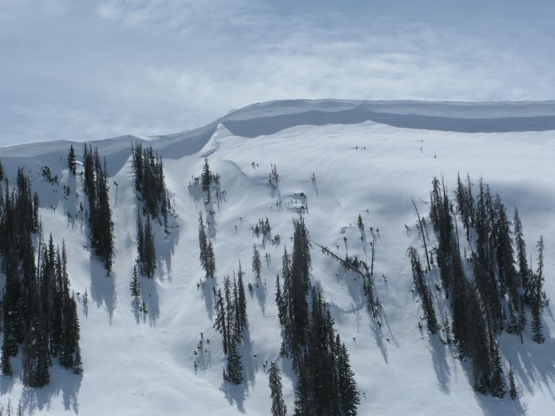
And then, there was none... days that is.
I've wrapped up forecasting for the winter, and soon, the only thing separating my skin from warm, blue, Caribbean water will be an evenly distributed layer of Hawaiian Tropic Tanning Oil. However, I couldn't leave without thanking a truly awesome cast of characters. Partnerships are huge to the western Uinta forecast program and both the Heber-Kamas and Evanston Ranger Districts are instrumental in supplying field partners and in-kind support.
First and foremost is the incredible information we get from Ted Scroggin. He has a lot on his plate, balancing family, life, and work, but still finds the time to get on the snow and submit snow and weather observations that help the accuracy of this program which ultimately save lives. Ted knows the Uinta's like no other and we are grateful to have such a high caliber forecaster on our team. Truth be told.... he is the glue that holds this program together.
In addition, Jason Boyer, Dave Kikkert, Pete Earle, Chris Brown, and Cody Hughes submitted super detailed daily observations and I am deeply grateful to them. Also, John Garofalo's (aka JG) weekly snowpit profiles are simply amazing and Michael Janulaitis' info was top-notch this year! This crew kept my head in the snow when my boots weren't able to make it :)
And finally, I would be remiss if I didn't thank Tyler St. Jeor, Austin Balls, Andy Nassetta, Weston Deutschlander, Big Al, and Eston Kimber who devoted a ton of energy to our sled specific avy awareness classes.
Many thanks to the Park City Powder Cats (PCPC), not only for all the snow and avalanche information and for the great professional dialog during times of heightened avalanche danger, but also for your very generous donations to the UAC. The Powdercats host our sled specific avalanche classes and this year donated a day of cat skiing with proceeds going to the avalanche center. Many thanks to Ron Baldis, Johnny Adolphson, and the rockin' PCPC crew... what a first class operation!
We couldn't get out on the snow without the great support from Polaris and Tri-City Performance, along with Ski Doo and Weller's Recreation. We use these machines to monitor the snowpack across the state of Utah. We also use these machines to teach life-saving classes.
The National Weather Service helped us maintain a total of six weather stations. Many thanks to Sean, Al, and Greg for making this happen.
And of course, thanks to all of you who helped support this program by attending our annual fundraisers and classes and by submitting snow and avalanches observations.
Be sure to mark your calendars... save the date and take a date -
Don't forget to attend the Utah Snow and Avalanche Workshop at the Mountain America Expo Center in Sandy, Saturday, Nov. 2nd.
Details to follow throughout the summer and early fall!
Of course, we're still interested in the snowpack. See or trigger an avalanche? Shooting cracks? Hear a collapse? It's simple. Go
here to fill out an observation.
To view Uinta specific weather stations click
here.
Mesowest stations are found
here.


