Forecast for the Uintas Area Mountains

Craig Gordon
Issued by Craig Gordon for
Wednesday, April 10, 2024
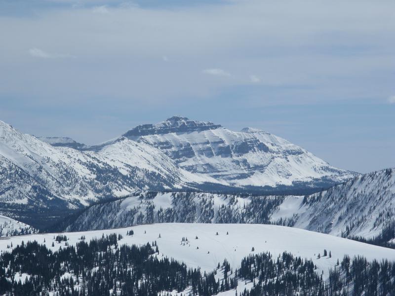
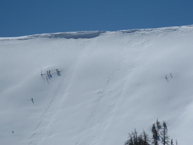
Sure, the danger rose suggests generally LOW avalanche danger and you're thinking... green light, send it if it's white, avy danger. But a little bird on my shoulder (actually a mid-sized parrot) tells me... LOW avy danger doesn't mean NO avy danger-
Even though human triggered avalanches are UNLIKELY, as we stretch our wings and think of bigger objectives, let's keep in mind that even a small avalanche can ruin our day if we get knocked off our feet in steep, technical, committing terrain.
Low
Moderate
Considerable
High
Extreme
Learn how to read the forecast here
Special Announcements
Sunday, April 14th will be the last of our regularly scheduled daily forecasts
Weather and Snow
Nowcast- Dang... it's downright crisp out there this morning as clear skies allow temperatures to dip into the low 20's. Now, let's toss in ridgetop winds blowing 20-30 mph from the northwest and we've got windchill registering in the single digits. But don't let your hearts be troubled, or cold, because strong April sun brings a gloriously warm day and helps promote a developing crop of lower elevation corn on sunny slopes which should be ready for harvesting by mid morning. If you're looking for shallow pow it's a rare commodity, but I think a few swaths still exist on high north facing slopes in the alpine.
Forecast- A stunning day is on tap with mostly sunny skies and temperatures climbing into the low 40's. Winds blowing in the 30's from the northwest are gonna be a nuisance near the high peaks.
Furturecast- Not much change in the weather pattern through the weekend. Our next chance for snow may arrive Monday when another moist system sets its sights on northern Utah. A bit too early to tell what materializes, but I'll keep a finger on the pulse of the storm and keep y'all updated as deets becoming a bit more clear.
Hayden Peak, looming large and keeping a watchful eye on Upper Moffit Basin.
Recent Avalanches
No significant avalanches have been reported over the last few days. Archived avalanche activity and trip reports are listed HERE.
Ad
Avalanche Problem #1
Normal Caution
Type
Location
Likelihood
Size
Description
The snowpack is deep, it's homogeneous, it's happy in its own skin, and it's generally bomb dot com. Yeah... avy danger is straight-forward and there's plenty of room to roam on a go-anywhere base.
A couple things to consider as we stretch our wings-
Cornices are ginormous and may break further back than you might expect. As the mercury begins its uphill migration this week, we'll definitely wanna give these huge boxcar pieces of snow a wide berth.
If you're feeling like an ant under a magnifying glass... so is the snowpack. As the surface starts to become damp and mushy, you'll wanna think about moving to a cooler aspect. You know you've overstayed your welcome when the snow turns to wet glop or it's becoming unsupportable.
Additional Information
The Uinta weather station network was upgraded this summer and all that real-time info is found HERE. Simply click on "western Uinta" tab and then "weather stations" tab.

We are always looking for snow and avalanche observations or just general riding conditions. So... if you see something, say something. You can reach me directly at [email protected] or 801-231-2170.
Also, if you're looking for more avy education opportunities for yourself, your crew, or your club please don't hesitate to reach out to me and we'll find a presentation, class, or clinic for ya!
General Announcements

Issued at 0300 on Wednesday, April 10th this forecast will be updated by 0700 Thursday, April 11th, 2024.
This forecast is from the U.S.D.A. Forest Service, which is solely responsible for its content. This forecast describes general avalanche conditions and local variations always occur.