March Kicks Off Our Spring Campaign- Donate Now to Support Forecasting

Forecast for the Uintas Area Mountains

Craig Gordon
Issued by Craig Gordon on
Saturday morning, March 27, 2021
Wet avalanches are todays main avalanche concern-
Steep terrain facing the south half of the compass takes on heat and the avalanche danger rises to MODERATE as temperatures soar. Human triggered avalanche are possible, particularly during the heat of the day.
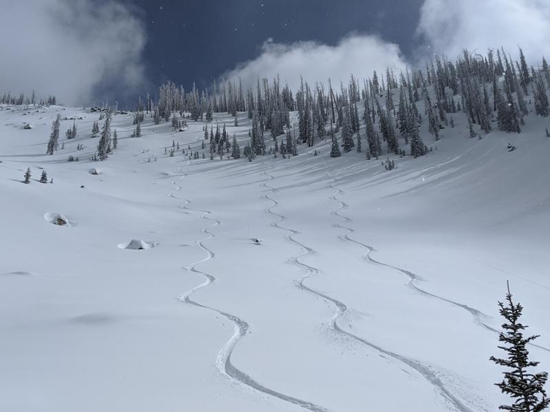
You'll find cooler snow, great riding, and generally LOW avalanche danger by swinging around to terrain facing the north half of the compass.
It's that time of year when we start stepping into big, alpine terrain and we need to remember... triggering even a small slide in steep, unforgiving terrain can deliver a season ending injury if you slam into a tree or get carried over a cliff band.
Low
Moderate
Considerable
High
Extreme
Learn how to read the forecast here
Special Announcements
Our Spring Avy Awareness Campaign is in full swing from March 16th- March 30th. Please help us save lives through avalanche forecasts and education. Consider making a donation to show your support.
Weather and Snow
Nowcast-
Skies are clear and a big, bright, beautiful moon illuminates the mountains. Current temperatures register in the teens and mid 20's, while northwest winds blow 15-25 mph along the high ridges. Thursday nights storm delivered an evenly distributed 6" of fresh, white paint and that'll go a long way to help smooth out old snow surfaces. It takes a little effort to get the goods, but excellent riding conditions are found in mid and upper elevation, northerly facing terrain.
Forecast-
A stunning day is on tap with mostly sunny skies, light northwesterly winds, and high temperatures climbing into the low 40's.
Futurecast-
Sunny and continued warm and dry for Sunday and then look for very strong winds developing Monday, before a robust cold front slides into the region overnight into Tuesday. Lots of blow, but not much snow.
Looking for real-time temps, snow, or wind?
Click HERE and then on the "western Uinta" tab for western Uinta specific, weather station network.
Recent Avalanches
Michael J found mostly stable snow in lower Weber Canyon and Weston Shirey found similar conditions in the big terrain around Bald Mountain.

Observations, trip reports, and avalanches found here.
Ad
Avalanche Problem #1
Wet Snow
Type
Location
Likelihood
Size
Description
With strong sunshine overhead and very warm temperatures on tap, yesterday's storm snow will instantly take on heat and become damp and manky. Wet snow avalanche issues are easy to anticipate and easy to avoid. As the snow becomes damp, you'll want to get off of and out from under steep, sun baked slopes and avoid terrain traps like gullies and road cuts where tree-snapping debris can stack up deeply.
Additional Information
Michael J found great riding and cold, settled snow yesterday in terrain facing the north half of the compass.
I will update this forecast by 7:00 AM tomorrow, Sunday, March 28th.
Your observations are important, so please let me know what you're seeing... click HERE and contribute to this amazing community based program
General Announcements
If you see or trigger an avalanche or just wanna let me know what you're seeing you can reach me directly at 801-231-2170 or [email protected]
This forecast is from the U.S.D.A. Forest Service, which is solely responsible for its content. This forecast describes general avalanche conditions and local variations always occur.