Join us at our 2nd Annual Blizzard Ball

Forecast for the Uintas Area Mountains

Craig Gordon
Issued by Craig Gordon on
Saturday morning, October 19, 2024
Welcome back... I missed you!
Thanks for checking in and stay tuned... we’ll issue updates as conditions warrant. Daily forecasts and danger ratings are weather dependent, though often start in early December.
In the mean-time, huge thanks to SkiMoCo for hosting Friday nights deep dive into last years Cinco De Mayo storm and the factors leading to the very tragic accident in Big Willow Cirque.
In addition, I look forward to seeing you at this weekends Snow Show or at one of the many upcoming events found HERE (scroll to the left hand corner near the bottom of our homepage).
Low
Moderate
Considerable
High
Extreme
Learn how to read the forecast here
Special Announcements
SAVE THE DATES!
Monday, November 4 - 17th Annual Professional Snow and Avalanche Workshop (PROSAW) - Information and tickets are available here.
Saturday, December 7 - 17th Annual Utah Snow and Avalanche Workshop (USAW) - Information and tickets available here.
Weather and Snow
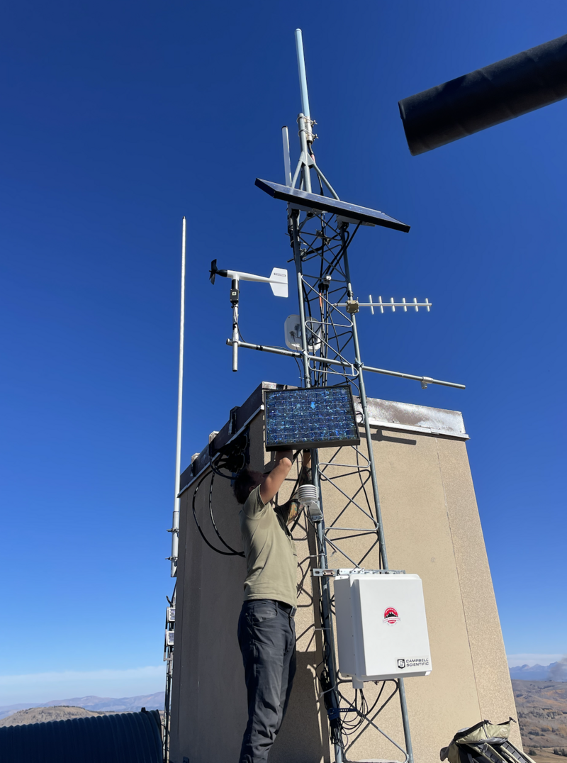
We've been busy maintaining and upgrading our Uinta weather station network... it's super solid and ready to roll for this winter.
George Harrison's third studio album "All Things Must Pass" accurately describes the shelf-life of our amazing run with a brilliantly extended Autumn. But ya know, it's mid October, and things change fast around here. In fact, after a streak of record setting high temperatures a shift in the weather pattern brought the hammer down this week, ushering in the first significant October storm, delivering about 6" of snow. But snow depths are elevation dependent and just the high country is blanketed with a thin coat of white paint. Looks like a false start for the minute, but the upcoming winter season is right around the corner... it'll be here before you know it!
Here's the big picture... high pressure camps out overhead, delivering warmer, dry weather this week, and that'll help to evaporate our thin layer of early season snow. In other words, all but the highest shady slopes will melt back to their fall coat of brown... which, this early in the season is a good thing! Peering into the weather forecast crystal ball, other than a little dip in temperatures this weekend, it looks pretty quiet on the weather front.
Ad
Additional Information
The Uinta weather station network was upgraded this summer and all that real-time info is found HERE. Simply click on "western Uinta" tab and then "weather stations" tab.

We are always looking for snow and avalanche observations or just general riding conditions. So... if you see something, say something. You can reach me directly at [email protected] or 801-231-2170.
Also, if you're looking for more avy education opportunities for yourself, your crew, or your club please don't hesitate to reach out to me and we'll find a presentation, class, or clinic for ya!
General Announcements

Issued on Saturday, October 19th this forecast will be updated when the snow begins flying again!
This forecast is from the U.S.D.A. Forest Service, which is solely responsible for its content. This forecast describes general avalanche conditions and local variations always occur.