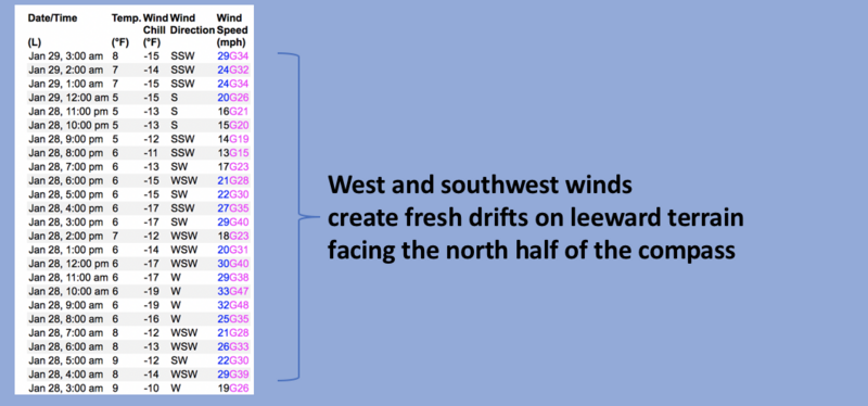
Nowcast- Yesterday's storm overachieved, especially at lower elevations with snow totals close a foot near the trailheads in the central and northern portions of the range.... think Smith-Moorehouse to Mill Hollow. At o'dark thirty, today's storm is already busy at work to the north of us, but we got a taste of things to come from the sampler plate with 2" of medium density snow overnight. Temperatures register in the single digits and low teens as southwest winds steadily blow in the 30's and haven't taken a break for the past 48 hours. Outstanding riding and turning conditions are the flavor of the day throughout the range.
Forecast- The storm gets underway in the next couple of hours and we should get a quick blast of snow stacking up 6" before suppertime. West and southwest winds blow in the 30's and 40's near the high peaks, but decrease as the day wares on. High temperatures climb into the mid 20's and crater into negative territory overnight under clearing skies.
Futurecast- A few scattered snow showers mill about for early Monday whilst very cold temperatures kick off the work week.
Chad visited Upper Weber Canyon yesterday and reports unusual wind transport and loading in lower elevation terrain. More on his insights and spot on evaluation of the snowpack and avy conditions are found HERE.
Huge thanks for all the great obs streaming in from the eastern front. Detailed trip reports and recent obs are found
HERE.
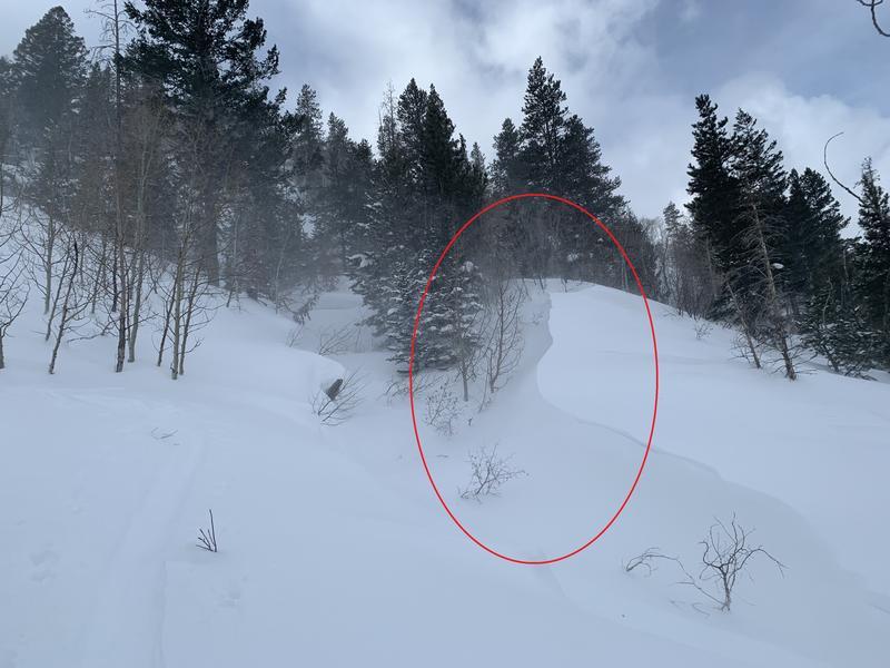
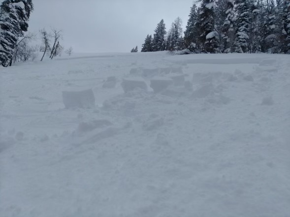
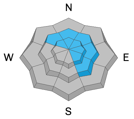
A very experienced crew with decades of backcountry knowledge and safe travel practices were surprised yesterday ( as was I ) by a slide they triggered mid-slope, on a low elevation, northwest facing slope in the Mill Hollow zone. Breaking about 18" deep and 70' wide, we suspect the slide ran on a combo of weak, sugary, near surface facets and/or surface hoar. We'll take a look today and report back for tomorrows update.
No other significant recent avalanche activity to report. However, if ya wanna geek out, click
HERE to track this years slide activity throughout the range.


