Forecast for the Uintas Area Mountains

Issued by Craig Gordon on
Wednesday morning, January 15, 2020
Wednesday morning, January 15, 2020
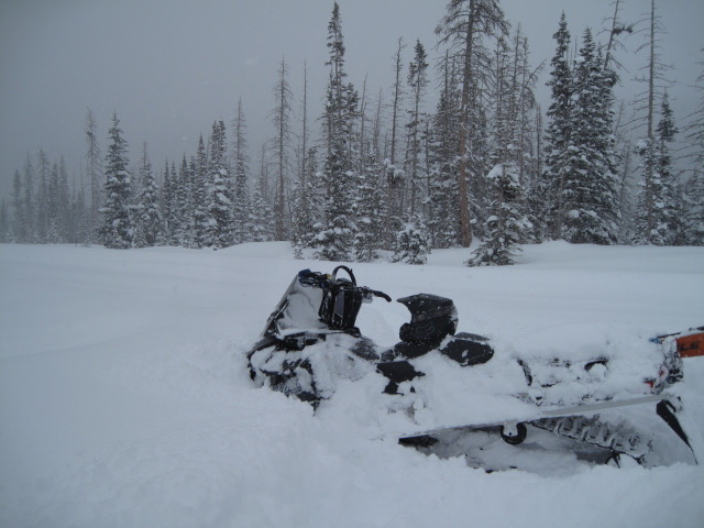
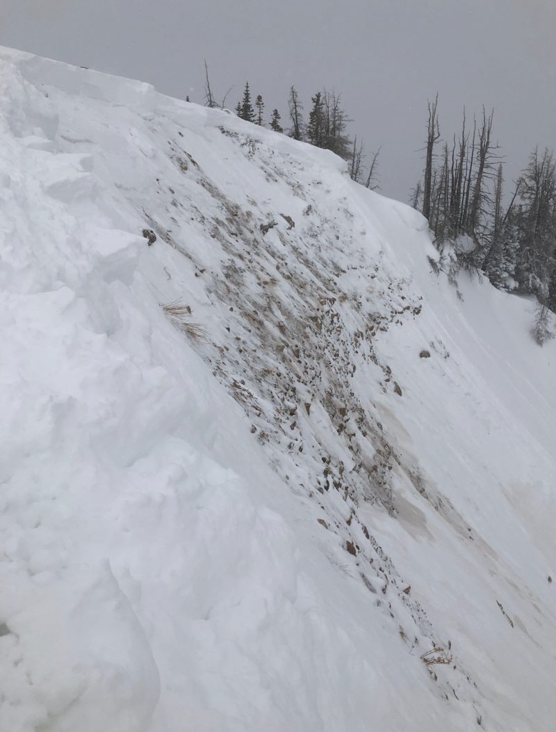
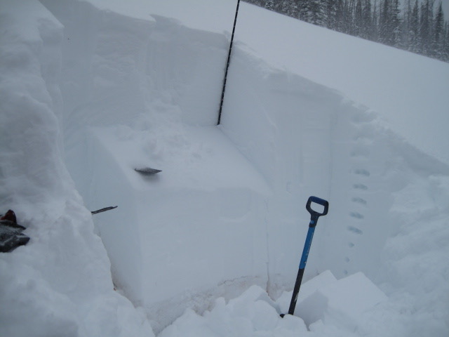
Heads up... let's not lose our minds today over some fresh snow and bright sunshine. We've got the perfect setup for avalanches to break on weak snow near the ground, resulting in a dangerously large slide that will instantly ruin your day.
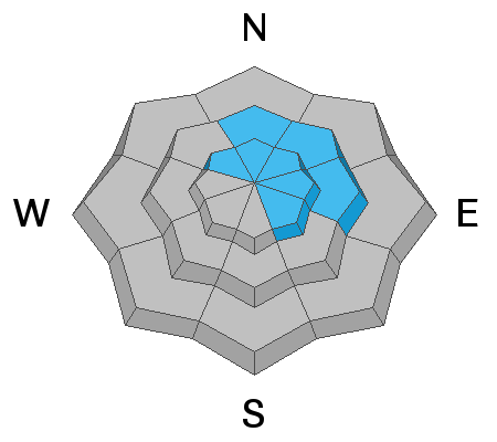
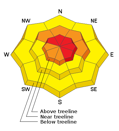
In upper elevation terrain in the wind zone, deceptively tricky avalanche conditions exist on steep, wind drifted slopes, especially those with an easterly component to its aspect. You'll find HIGH avalanche danger in terrain with these characteristics and human triggered avalanches are VERY LIKELY.
In addition, recent winds drifted snow onto steep, leeward, mid elevation slopes where a CONSIDERABLE avalanche danger exists and human triggered avalanches are LIKELY. Once triggered, today's drifts may break deeper and wider than you might expect.
Just the shear amount of new snow warrants an honrable mention on steep, lower elevation terrain where a MODERATE avalanche danger is found and human triggered slides and sluffs are possible.
Sure it's getting sketchy out there, but it doesn't mean we can't ride. We simply need to stay off of and out from under steep, wind drifted slopes and head to big open meadows.
Low
Moderate
Considerable
High
Extreme
Learn how to read the forecast here