Sign Up for the Utah Snow and Avalanche Workshop (USAW) on December 7th!

Forecast for the Uintas Area Mountains

Andrew Nassetta
Issued by Andrew Nassetta on
Friday morning, November 15, 2024
Updated Friday, November 15th at 4:30 PM
Not much has changed since last week. A few small storms made their way through the region leaving snow sites measuring 14-18” on the north half of the range, and 8-12” on the south half. Tracks are starting to fill the meadows and grassy roadside attractions, but remember your greatest hazard is still hitting stumps, rocks, downed logs, and anything else hiding beneath the snow surface.
Low
Moderate
Considerable
High
Extreme
Learn how to read the forecast here
Special Announcements
Save the Date | Saturday, December 7 | 17th Annual Utah Snow and Avalanche Workshop (USAW) | Information and tickets available here.
Weather and Snow
Nowcast | Sunny skies dissipate as a small storm rolls through the region, potentially bringing 3-5” of snow, favoring the north slope. Temperatures are hovering in the mid 30s F at 9,000’ with steady moderate winds from the south at upper elevations.
Forecast | Clearing Saturday night into Sunday will bring mild temperatures, clear skies, and calm winds. Temps look to stay in the 20s F throughout the day and dip down to the teens at night, with calm winds out of the northwest ahead of the next weather system.
Futurecast | A weak system will pass through town Monday into Tuesday, bringing a trace of snow, followed by clear days and cool nights mid-week.
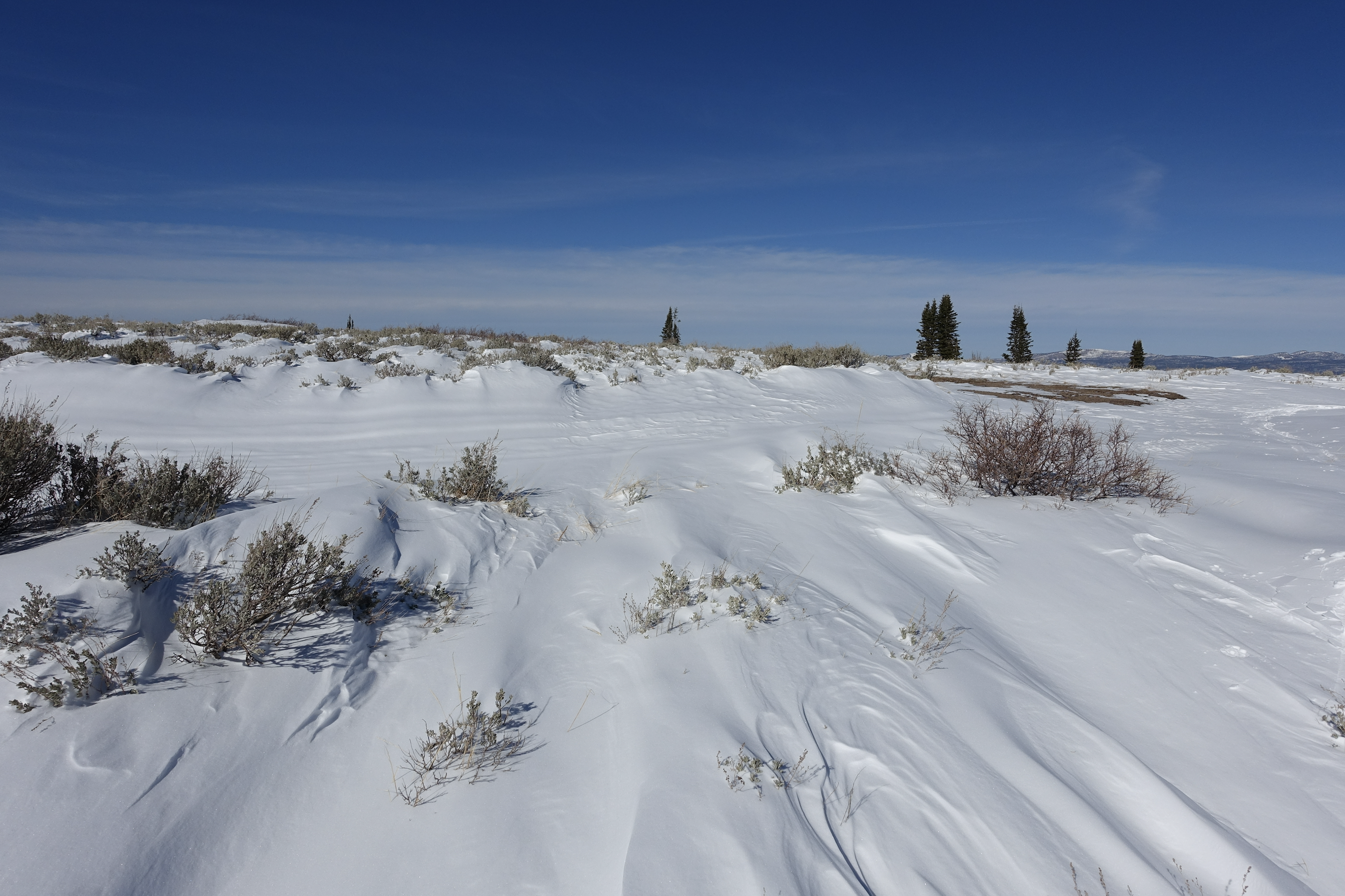
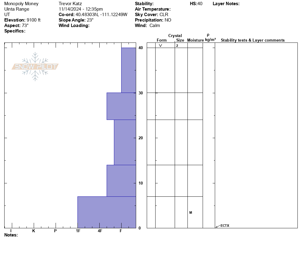
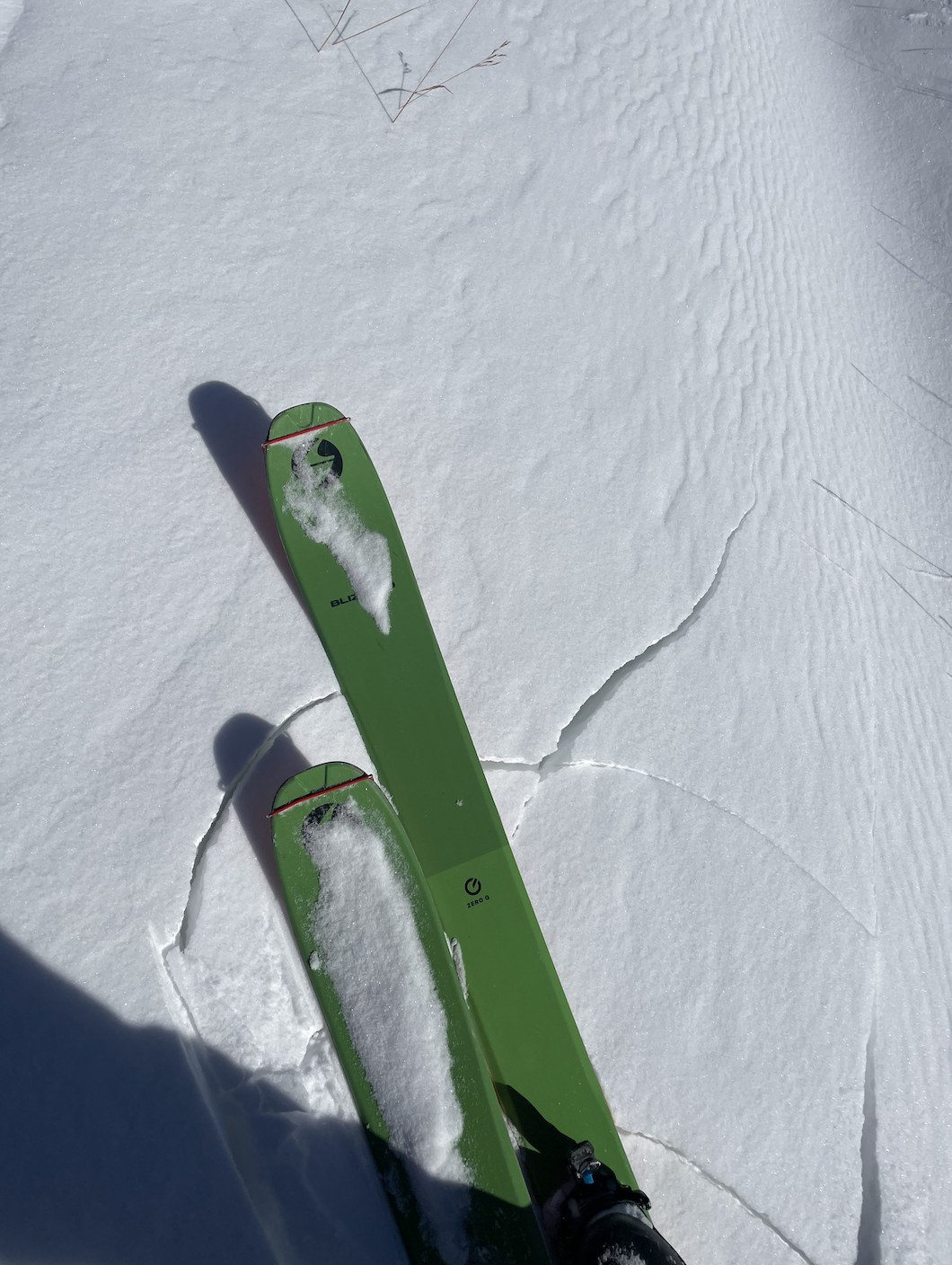
Trevor K was cruising around the Mill Hollow zone Thursday and commented: “Relative to the northern Uinta's higher elevation zones, Mill Hollow is shallow, with just 40cm (16”) in sheltered areas. The snowpack is predictably weak throughout, and layers are becoming harder to differentiate relative to deeper snowpacks.”
Trevor made note of the general structure in the area he traveled. See it compared to what I found traveling in the Bald Mtn. Pass area yesterday. Snow depths where I traveled ranged from 30-60 cm (12-24”). Although not supportable in all cases, the small storms that have continued to lay down snow created a decent structure where the snowpack is at its deepest. Click here to read more on that trip report.
Recent Avalanches
A small wet-loose avalanche was reported on Wednesday during a sunny warm-up in steep, rocky, upper-elevation terrain.
Read all observations here.
Ad
Avalanche Problem #1
Normal Caution
Type
Location
Likelihood
Size
Description
Avalanche conditions are generally safe, but when entering the backcountry, always be sure to keep in mind the following advice:
  • Wind-Drifted Snow - Although there is not a lot of snow available for transport on the ground, there is enough. With recent winds, look for snow drifts on the leeward side of slopes and do your best to avoid them.
  • New Snow - New snow can always create issues especially when there are variable snow surfaces. Always keep a heads up and pay attention to how storm snow is bonding to old snow surfaces.
Additional Information
The Uinta weather station network was upgraded this summer and all that real-time info is found HERE. Simply click on "Western Uinta" tab and then "Weather Stations" tab.

We are always looking for snow and avalanche observations or just general riding conditions. So... if you see something, say something. You can reach us directly by contacting: Craig Gordon at [email protected] -- 801-231-2170 | Andrew Nassetta at [email protected] -- 860-460-8142.
General Announcements
Issued on Friday, November 15th at 4:30 PM this forecast expires 24 hours after the date and time issued, but will be updated this week as conditions change!
This forecast is from the U.S.D.A. Forest Service, which is solely responsible for its content. This forecast describes general avalanche conditions and local variations always occur.