The 2023-24 winter avalanche forecasting season has ended.
There's still plenty of snow in the mountains for recreation and avalanches can still be a concern. Here are some things to look out for in the Spring.
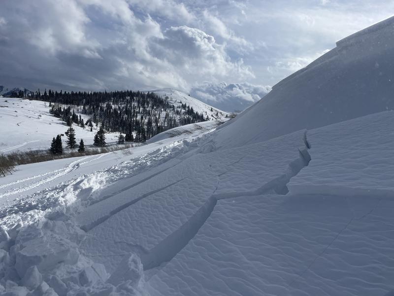
NEW SNOW: Most of the time Spring snow storms bring mostly stable conditions but not all of the time. Watch for cracking within the new snow. This is a sign of unstable snow. If the storm is windy, you are more likely to see unstable conditions due to wind drifted snow.

WET SNOW: We see the most wet snow avalanche activity directly after snow storms. When new snow becomes damp for the first time, it often can produce avalanches. After the new snow gets wet, it will refreeze and become stable. It then warms and gets wet with daytime heating and it can become unstable again. The key is to avoid being on or below steep slopes when the snow is wet, sloppy and unsupportable. If you're punching deep into wet snow, you're dealing with unstable snow. Another good rule of thumb is watch for three consecutive nights with above freezing temperatures. We can see avalanches start breaking deeper into the snowpack following a period of very warm weather. Photo below, wet avalanches that covered the road in Huntington Canyon, 2023.
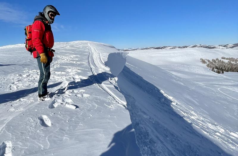
CORNICES: It's never wise to travel out on cornices and even more so in the Spring. As the weather warms, cornices start to weaken and will start breaking off. Simply avoid being on or below them to avoid trouble.
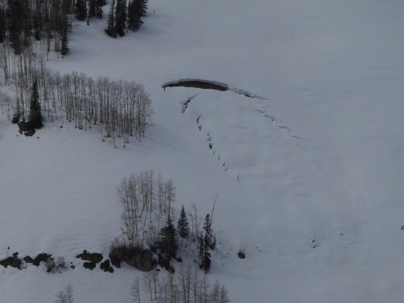
GLIDE AVALANCHES: These are avalanches that "glide" on the ground. There are a number of places around the Skyline where glide avalanches happen. You'll see the snowpack yawning open revealing the ground below. Sometimes these just continue to sag slowly over numerous days. Sometimes there is a catastrophic failure and they release quickly and produce a pile of debris. Simply avoid being below these things to avoid trouble.
CHECK OUT THIS VIDEO ABOUT SPRING CONDITIONS IN UTAH:


