Sign Up for the Utah Snow and Avalanche Workshop (USAW) on December 7th!

Forecast for the Skyline Area Mountains

Brett Kobernik
Issued by Brett Kobernik on
Wednesday morning, March 23, 2016

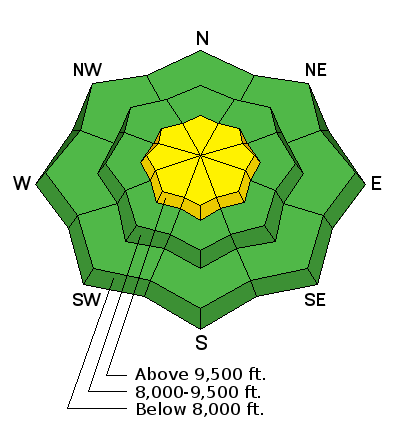
The avalanche danger is MODERATE in the higher terrain especially along the ridges where you'll find recent fresh drifts of wind blown snow. Avalanches won't be huge if you trigger one today but consider consequences if you should get caught and "bossed around". Use small and steep test slopes to get a feel of how the new snow is reacting before getting into the bigger terrain.
Low
Moderate
Considerable
High
Extreme
Learn how to read the forecast here
Weather and Snow

You'll find 4 to 7 inches total new snow up in the hills from yesterday's storm. Things were somewhat sensitive during the storm but should be more stubborn today.

Ad
Additional Information

General Announcements

We will publish full detailed advisories Saturday and Sunday mornings by 7am. We will also be publishing basic avalanche danger ratings & info during the week.

If you are getting out into the mountains, we love to hear from you! You can SUBMIT OBSERVATIONS ONLINE or EMAIL US

If you would like to have avalanche advisories emailed to you, SIGN UP HERE

We can provide basic avalanche awareness presentations for your school, group or club. To enquire, CLICK HERE