Forecast for the Skyline Area Mountains

Brett Kobernik
Issued by Brett Kobernik for
Thursday, March 14, 2019
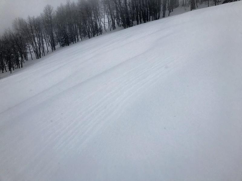
There is a CONSIDERABLE avalanche danger in areas with wind drifted snow. Human triggered avalanches are likely on steep slopes that face north, east and south in the mid and upper elevations. There is enough new snow to make these avalanches fairly large and dangerous. If you stick to areas that were out of the wind and only received about a foot of new snow, the danger is generally MODERATE.
Low
Moderate
Considerable
High
Extreme
Learn how to read the forecast here
Weather and Snow
Wow! Quite an impressive storm especially for the mid portion of the Skyline around Ephraim Canyon where 30 inches of snow has fallen since Tuesday night! Fairview Canyon received about a foot and so did the 12 Mile Canyon zone. It was still snowing at 6am. Wind speeds have dropped off and temperatures have also and are in the low teens this morning.
It looks like we're actually going to see a break in the relentless series of storms with some clear weather over the next week. Today will be mostly cloudy but skies will be more clear on Friday.
Recent Avalanches
I did not see any avalanche activity on Wednesday but poor visibility very much limited travel. However, what I did note was high rates of snowfall for sustained periods and fresh wind drifted snow. These two factors are big red flags and it's likely natural avalanches were releasing during the day on Wednesday. They most likely involved only the new snow and weren't breaking into any deeper buried weak layers. We'll see if we can confirm my suspicions today.
Ad
Avalanche Problem #1
Wind Drifted Snow
Type
Location
Likelihood
Size
Description
The most likely type of avalanche activity today will involve the new wind drifted snow. It's very likely that the drifts will still be sensitive today. The most dangerous places will be steep slopes on the east side of ridges. However, you will want to watch for fresh drifts on all aspects and terrain features. Ride over small drifts in safe terrain to see if they are cracking to get a handle on how sensitive the new snow is. The wind drifted snow should stabilize fairly rapidly but today is definitely not the day to push it.
Cornices are a big indicator of fresh wind drifted snow. However, you will want to look for more subtle clues like the "wavy" looking snow in the photo below. Often it will have a "thicker feel" to it compared to the fresh light powder.
Additional Information
This forecast is from the U.S. Forest Service, which is solely responsible for its content. This forecast describes general avalanche conditions and local variations always occur.