Forecast for the Skyline Area Mountains

Brett Kobernik
Issued by Brett Kobernik for
Thursday, November 21, 2019
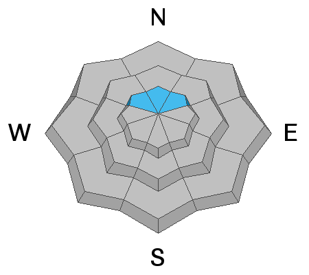
The recent storm gave the Skyline a nice shot of snow in many areas. There is not really enough yet for any type of winter recreation and we are not currently issuing danger ratings. The future weather pattern looks promising for bringing more storms through our area.
Low
Moderate
Considerable
High
Extreme
Learn how to read the forecast here
Weather and Snow
The recent storm produced 3 to 10 inches of snow along the Skyline in a "one two punch". There was a shot of snow early Wednesday morning then another overnight Wednesday night. The storm was relatively warm with higher density snow.
The northern zone around Fairview Canyon received the least snow with only about 3 inches. The central Skyline around Ephraim Canyon received 6 inches. The most was recorded in upper Ferron Canyon where 10 inches of snow stacked up. This type of distribution is not uncommon given the southeast flow direction of the storm as it hit the Skyline.

Weather Outlook:
The overall pattern looks active for storms. The current storm will start to move out later today and we'll see benign weather through the weekend before the next storms move in. A small storm swooping through from the northwest looks like it should give us some snow Monday night. Another larger storm will dig deep through the Great Basin and feed moisture into our area in a southwest flow along about Wednesday. Yet another system looks like it will work it's way through from the northwest during the following weekend. If things play out like the weather models suggest, we could see a couple of feet of snow within the next 12 days or so. This is exciting but keep in mind there's quite a bit of uncertainty as to how this will actually shake out.
Ad
Avalanche Problem #1
Persistent Weak Layer
Type
Location
Likelihood
Size
Description
Prior to this storm, there was a small amount of old snow from a storm in late October. The 4 to 8 inches of snow had turned into very weak faceted sugar snow. It's quite possible that this snow will act as a weak layer and produce avalanches as we stack more snow on top of it. The good news is that it's not a real widespread problem as it's only present in the highest more northerly facing slopes. Also, there isn't all that much of it so avalanches will be more "pockety" in nature and not all that large. At this point, this is not a huge concern. However, there is now enough snow overall that we need to start paying attention to it.
Additional Information
This forecast is from the U.S. Forest Service, which is solely responsible for its content. This forecast describes general avalanche conditions and local variations always occur.