Forecast for the Skyline Area Mountains

Issued by Brett Kobernik on
Tuesday morning, January 15, 2019
Tuesday morning, January 15, 2019
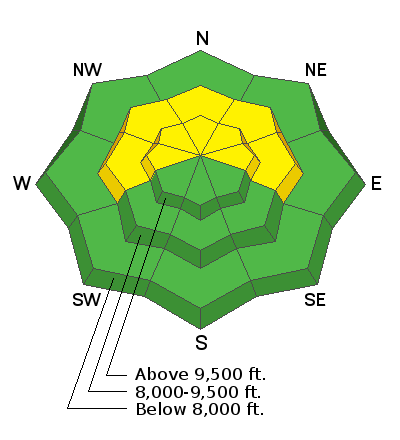
THE AVALANCHE DANGER WILL INCREASE THROUGH THE END OF THE WEEK AND REMAIN DANGEROUS INTO THE WEEKEND. For today, the overall avalanche danger is MODERATE on mid and upper elevation steep slopes that face west, north and east. Human triggered avalanches are still possible especially on the northern end of the Skyline on upper elevation north through east facing slopes approaching 40 degrees in steepness.

Low
Moderate
Considerable
High
Extreme
Learn how to read the forecast here


