Forecast for the Skyline Area Mountains

Issued by Brett Kobernik on
Thursday morning, January 10, 2019
Thursday morning, January 10, 2019
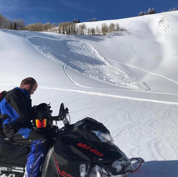
Elevated avalanche danger still exists on the north end of the Skyline (Seeley, Staker, Rolfson, Lake, Spring Creek) which received the most snow from the last storm. HUMAN TRIGGERED AVALANCHES ARE STILL POSSIBLE IN THIS TERRAIN.
Overall, the avalanche danger is MODERATE across the majority of the Skyline. Continue to avoid steep slopes that have been recently wind loaded with snow. You will find fresh drifts on all different facing slopes in the mid and upper elevations.

Low
Moderate
Considerable
High
Extreme
Learn how to read the forecast here


