Forecast for the Salt Lake Area Mountains

Nikki Champion
Issued by Nikki Champion for
Saturday, March 21, 2020
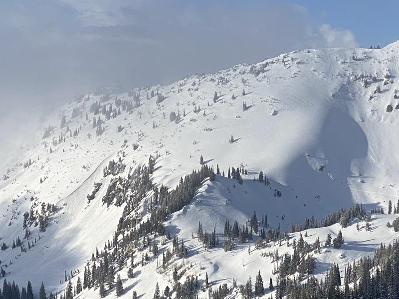
The overall avalanche danger is LOW and conditions are generally safe. As the day warms small, loose wet avalanches will be possible on aspects facing east, south, and west, as well as low and mid-elevation northerly slopes.
If the sun comes out the avalanche danger may rise to MODERATE on some steeper solar aspects.
Low
Moderate
Considerable
High
Extreme
Learn how to read the forecast here
Special Announcements
We know there is a lot of uncertainty regarding the Coronavirus, but the Utah Avalanche Center is planning to continue issuing regular avalanche forecasts into April.

Uphill Travel at Ski Areas - Some closed resorts are offering limited uphill access, and policies may change daily. The latest information about uphill access from Ski Utah is posted HERE.
This morning (3/21) Collins Gulch at Alta Ski area will be closed to uphill travel while Snowbird does avalanche mitigation in Blackjack.
Weather and Snow
This morning, mountain temperatures are in the upper teens to low-20s F at trailheads and low teens F at ridgelines. Winds are light and southwesterly averaging gusts below 15 mph at all elevations. Yesterday, an additional trace to 2 inches of snow fell in the mountains.
Today, a weak weather disturbance will bring cloudy skies and another round of spotty snow showers this afternoon, will minimal accumulation. Winds will remain southwesterly and light. and temperatures will be in the mid-20s to low 30s F.
Looking ahead, conditions should begin to dry this evening into tomorrow and then a return to winter is forecasted by mid-week with cold, unsettled conditions expected.
Recent Avalanches
Multiple wet-loose avalanches were reported in the backcountry yesterday -
Y Coulior - 12" x 35' wide North @ 7500'
Microwave - Southwest @ 9500' (Photo below, Scott/Sean)
Little Pine - Southwest
Upper Days - 6" x 35' wide Southeast @ 10100'
As always, you can find more details in the Observations and Avalanches tab above and locations of these areas HERE
Ad
Avalanche Problem #1
Normal Caution
Type
Location
Likelihood
Size
Description
Today, the overall avalanche danger is LOW. This means that human-triggered avalanches are unlikely, but small avalanches in isolated areas are possible.
Today I would watch for:
1. Wet snow - Last night's overnight freeze and today's increasing cloud cover should keep the snow surface cooler but as the day heats up and the snow gets wet, you should be able to trigger small loose wet avalanches. These usually start at your feet and fan out below you. However, watch out for these slides happening naturally especially if you are in a gully or any confined terrain where a small one could pile up deeply. Look for signs of wet snow like rollerballs.
Continue to maintain safe travel habits; this means exposing one person at a time to avalanche terrain and having someone watch them from a safe location.

Additionally, keep in mind that closed ski resorts are performing no avalanche control work and must be treated as the backcountry.
Additional Information
If you are new to backcountry skiing (perhaps you are hiking uphill at a closed resort), the UAC has published an award-winning educational series Know Before You Go. This includes:
- A basic 15-minute avalanche awareness video
- A free online-learning series with five interactive courses
But don't stop here. Commit yourself to take an avalanche awareness class during the 2020/21 season!
General Announcements
This information does not apply to developed ski areas or highways where avalanche control is normally done. This forecast is from the U.S.D.A. Forest Service, which is solely responsible for its content. This forecast describes general avalanche conditions and local variations always occur.