We're living in a snow globe.
Light snowfall continues through the mountains of northern Utah.
Overnight, the Cottonwoods and PC areas picked up an additional 2-4". The Ogden and Provo mountains picked up 8-12", respectively.
Storm totals now are 26-30" (1.60"-2.0" Snow Water Equivalent) across the Central Wasatch, with 30"/2.60" in Ogden and 36"/3.26" SWE in Provo.
Mountain temperatures are in the low single digits and below zero at 11,000'.
Winds are now blowing from the southwest with hourly averages of 20-25mph with gusts to 40mph.
Showers will soon wind down before another system lines up to deliver another round of snow from the southwest this afternoon. We may see an additional 2-4" by early evening with storm totals of 4-8" by tomorrow morning. Mountain temperatures will be in the single digits and low teens. Winds will blow 20mph from the southwest, increasing to 30mph by the afternoon.
We'll get a bit of a break later Friday into Saturday before the next storm lines up for Sunday. The longer range models have storms until the end of time.
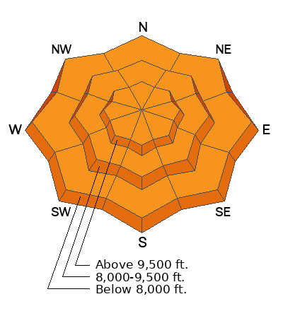
Avalanche conditions yesterday were described as "sensitive", "touchy", "widespread", and "long running and fast". Loose snow and soft slab avalanches within the new snow were soon accompanied by soft slabs of wind drifted snow by the afternoon. All of these soft slabs were generally 1-2' deep and up to 100' wide or so.
Of all the reported avalanches yesterday, the one that caught my eye was the remotely triggered slide in Parley's Canyon. A ski party triggered this soft slab from 50' away on an east facing slope at 7500'. The soft slab avalanche was 14" deep and 100' wide. This party, and other observers nearby, reported cracking and collapsing in the snowpack.
Check recent observations
HERE>


