Forecast for the Salt Lake Area Mountains

Issued by Mark Staples on
Friday morning, January 10, 2020
Friday morning, January 10, 2020
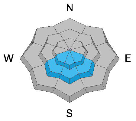
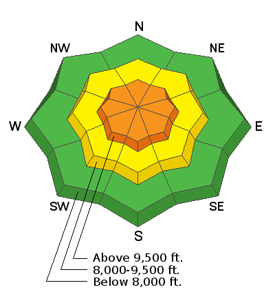
Today, Upper elevations with the strongest winds and most snow have a CONSIDERABLE avalanche danger. Mid-elevations have a MODERATE danger, and low elevations with less snow and less wind have a LOW avalanche danger.
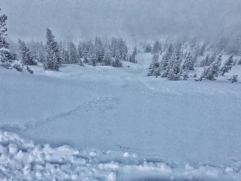
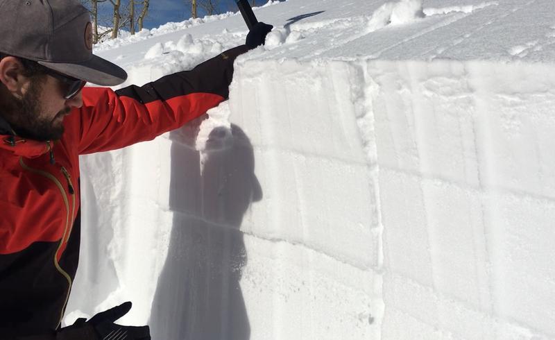
There are three avalanche problems to watch for: (1) soft slabs of wind drifted snow, (2) deeper slabs about 3 feet deep breaking near an ice crust on southerly facing slopes, and (3) sluffing within the new snow.
Here's the thing - the danger can vary widely. Any wind loaded slope will be more likely to produce an avalanche than a non-wind loaded slope. Southerly facing slopes with an ice crust/weak layer combo about three feet deep will be more dangerous that slopes without this layer (read more below). The danger ratings reflect general trends.
Low
Moderate
Considerable
High
Extreme
Learn how to read the forecast here


