Forecast for the Provo Area Mountains

Drew Hardesty
Issued by Drew Hardesty for
Monday, April 8, 2019
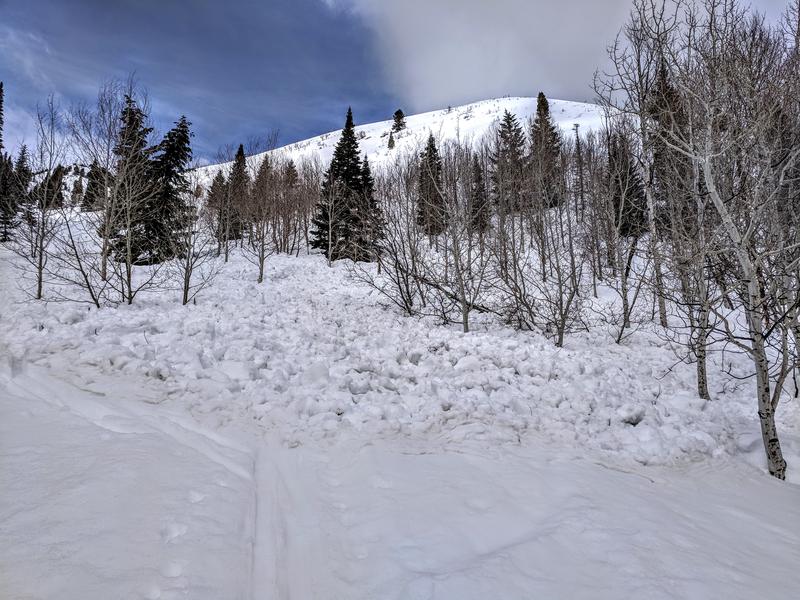
This morning the avalanche danger is LOW. However, it will quickly rise to MODERATE and may reach Considerable with the intense spring sun and warm temperatures. You'll need to constantly monitor snow surface conditions while you're out today. If snow starts to become damp, heavy and loose it's time to move to cooler slopes.

Watch for Cornices today. While traveling ridge lines make sure to give yourself more than enough distance from the edge as they often break back much further than anticipated. Avoid traveling on slopes with cornices looming above.
Low
Moderate
Considerable
High
Extreme
Learn how to read the forecast here
Special Announcements
Summer is a busy time for the UAC working on our fall and winter planning, putting together the Fall Fundraiser and the Utah Snow and Avalanche Workshop (USAW), and updating our education programs. In addition, this summer we will be finishing up the website redesign project. Your donation shows you’re invested in this community all year round! You can still be part of the UAC’s success in 2019.
Consider making a donation by April 8. Thank you!
Weather and Snow
This avalanche forecast was written by Bo Torrey and approved by Drew Hardesty.
Overnight temperatures did not drop below freezing at most weather stations but clear skies and a light breeze will have provided a shallow refreeze to the snow surface above 9000'.
This morning winds are out of the west at 5-10 mph with gusts into the mid-teens. Winds will gradually decrease through the morning into the early afternoon before shifting to the southwest and increasing ahead of the incoming storm.
Skies are clear this morning. Clouds will move into the area by late this afternoon.
A major spring storm is on tap for this week beginning Tuesday afternoon and continuing into at least Thursday morning bringing with it 10"-20" (SWE 0.85-1.55).
Recent Avalanches
A sizable Wet Snow Avalanche was reported just above the Aspen Grove trailhead along the Alpine Loop Road and likely occurred Saturday. The slide was roughly 100' wide and large enough to bury or injure a person.
Picture: Kris Nosack
Ad
Avalanche Problem #1
Wet Snow
Type
Location
Likelihood
Size
Description
The main concern for today will be wet avalanches. Last night's shallow refreeze won't last long with today's temperatures forecasted to be in the mid-40's. Thin clouds and light winds could help to extend the life of the frozen snow surface but you'll need to monitor that while you're on snow today. Heating happens fast this time of year, with the snow changing in a matter of minutes. Watch for the usual signs of wet activity including rollerballs, point releases, and damp, heavy, loose snow. Use slope aspects to your advantage today to find soft snow and make sure you're off of and out from under steep slopes by the time things are wet and sloppy. Keep in mind what you'll be traveling under as you exit the mountains today.
Video: Great video of Wet Snow Conditions from Trent's field day on Saturday.
Avalanche Problem #2
Normal Caution
Type
Location
Likelihood
Size
Description
Constant observation will be key today. Make sure to not let your guard down. Look for small fresh Wind drifts that may have formed over the past 24 hours. Even a small avalanche in consequential terrain can be fatal.
Give Cornices more than enough room today while traveling on ridge lines as these bus size blocks of snow often break back much further than anticipated. Avoid traveling on slopes with cornices looming above.
General Announcements
This information does not apply to developed ski areas or highways where avalanche control is normally done. This forecast is from the U.S.D.A. Forest Service, which is solely responsible for its content. This forecast describes general avalanche conditions and local variations always occur.