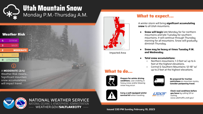
Forecaster Corner: The incoming storm is impressive. Trent described it as "a beast of a trough" yesterday, the NWS is calling it one of the stronger storms of the Winter. The bulk of this storm will push into Northern Utah Tuesday afternoon and will last into Thursday for the Wasatch Range. Looking at some numbers, the snow totals are expected to be between 32-42" of new snow, containing 2.10 - 3.00" of water. Accompanying the heavy snowfall will be a strong cold front and an overall shift to Southerly winds.
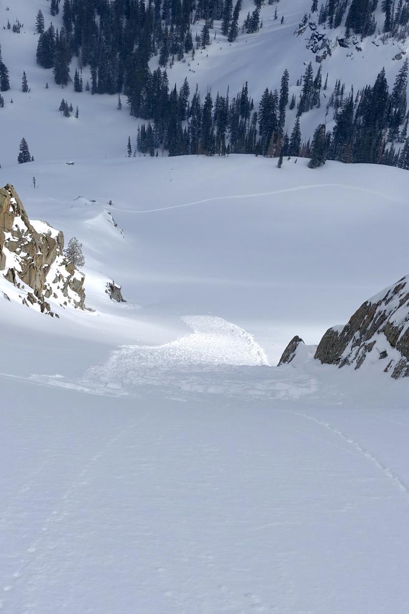
With the new snowfall, comes a lot of uncertainty. Before yesterday's new snowfall, we had a wide variety of snow surfaces in the backcountry from stout wind board, to firm sun crusts, to a few pockets of lingering cold snow. Along with overall variable snow surface conditions, observers had also begun to note that the snow surface was weakening and small grain facets were present in some areas. See Greg's observation from
Mill Creek Canyon.
What does this mean for avalanche conditions? Well, I am unsure how yesterday's snow will overall bond to the variety of surfaces in the backcountry - and I am unsure how tomorrow's storm will bond to that. What I do know is that we have a lot of water, snow, and wind on tap for Tuesday through Thursday. The avalanche danger is going to rise, the storm snow will be unstable, and we are going to see avalanches within the new snow. The uncertainty is how long it will take to stabilize and how it will react with the old surfaces. While we have this much uncertainty, it would be a good time to adjust the overall mindset to stepping back, see how the new snow reacts, and with time we can eliminate some of those variables of uncertainty.