

Forecast for the Provo Area Mountains

Issued by Evelyn Lees on
Saturday morning, February 2, 2019
Saturday morning, February 2, 2019
TODAY: The Avalanche Danger is MODERATE on all mid and upper elevation slopes for triggering a new wind slab and for triggering deeper avalanches into old snow layering. Small wet, loose sluffs may be triggered on lower elevation shady slopes if it rains this afternoon.
TONIGHT and SUNDAY: Avalanche danger will rise to CONSIDERABLE OR HIGH, with about a foot of new snow and very strong winds. Natural avalanches will be likely. For an early morning update Sunday, call the telephone hot line at 1-888-999-4019, option 6, updated around 5 am.

Low
Moderate
Considerable
High
Extreme
Learn how to read the forecast here
 Special Announcements
New blog post - I AM Dangerous (link). This is a conversation/collaboration with the writer Molly Absolon in the Tetons. Thanks Molly.
 Weather and Snow
A warm, wet storm will slam into northern Utah, bringing a moderate amount of heavy wet snow, some low elevation rain, and extremely strong winds tonight ahead of a Sunday morning cold front. A second colder storm will bring periods of snow Sunday night through Tuesday. Significant portions of both these storms will be on a southwesterly flow, which is a great snow producer for the Provo area mountains.
Now, 6 am: under partly cloudy skies, the southerly winds are averaging 15 to 20 mph, with gusts 30 mph, and temperatures are in the low 30s. Upper elevation winds to the north have averaged 20 to 30 mph, with gusts in the 50s.
Today: the southerly winds will be ramping up - 30 mph averages, with gusts to 50 mph at the mid elevations, and 50 mph averages, with gusts to 70 at the upper elevations. 1-3” of snow late this afternoon, with rain to about 7,500’. Temperatures warming into the mid 30s to mid 40s.
Tonight: 8 to 14” of snow possible, with VERY STRONG southwesterly winds - 40 to 55 mph averages, with gusts 70 to 100 mph. Temperatures cooling into the twenties.
 Recent Avalanches
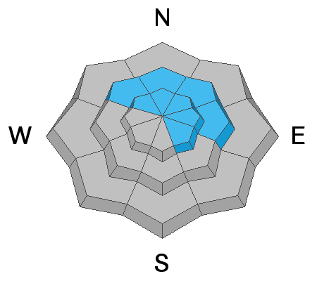
None. We continue to find large natural avalanches from during or just after the blockbuster weather event on the 17th and again on the 21st. The largest natural noted on the western flank of Timpanogos but others noted in the Cascade and Mill Canyon Peak areas. (pc: UDOT Provo Canyon)

Avalanche Problem #1
Persistent Weak Layer
Type
Location
Likelihood
Size
Description
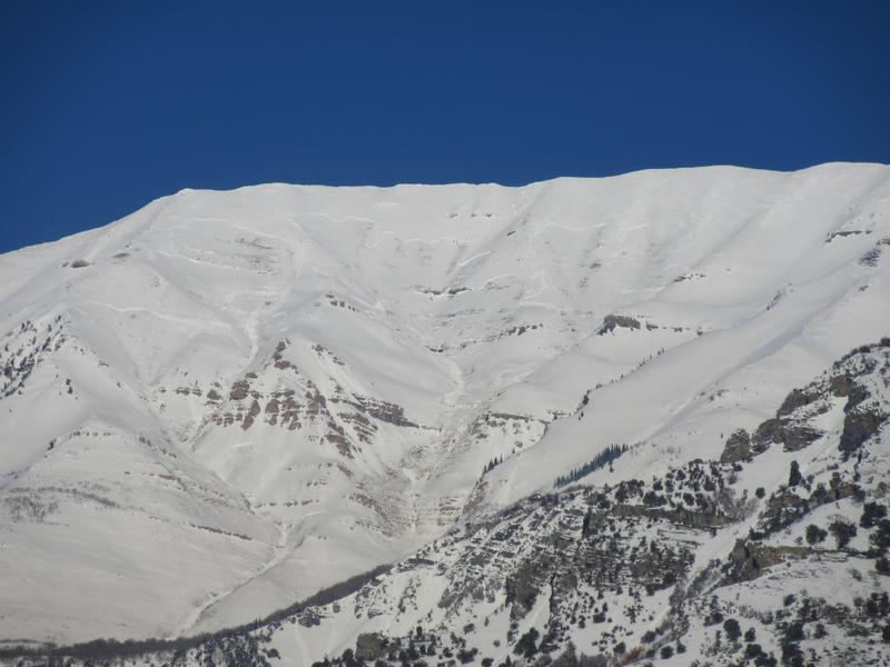
In isolated areas, it may be possible to trigger an avalanche into older snow layering. Poor to fair structure (weak snow and/or weak snow/crust layering) is present around the compass at most aspects and elevations, particularly above about 8000'. It is recommended to approach steep rocky slopes with caution and stop to gauge the localized stability with various snow tests. Collapsing and cracking may not be present. Many slopes have avalanched and filled back in, and the snow is even weaker on these slopes. A wind drift triggered today may step down to one of these deeper weak layers, creating one of these larger, more dangerous slides.
All Provo observations can be found here.
Avalanche Problem #2
Wind Drifted Snow
Type
Location
Likelihood
Size
Description
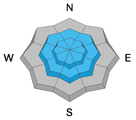
The increasingly strong winds will move snow today, forming sensitive drifts at the mid and upper elevations. On the shadier, northwest through southeasterly facing slopes, the new drifts will be sitting on weak, sugary snow. Look for and avoid any smooth, rounded drifts. Shooting cracks in dense or harder snow are a sure sign you've found a wind drift. It will be possible to trigger these drifts from a distance or from below.
Cornices may start to grow along the upper and mid elevation ridge lines. Give them a wide berth - travel well back from the edges and avoid travel beneath them.
General Announcements
This information does not apply to developed ski areas or highways where avalanche control is normally done. This forecast is from the U.S.D.A. Forest Service, which is solely responsible for its content. This forecast describes general avalanche conditions and local variations always occur.