March Kicks Off Our Spring Campaign- Donate Now to Support Forecasting

Forecast for the Ogden Area Mountains

Drew Hardesty
Issued by Drew Hardesty on
Thursday morning, March 6, 2025
A CONSIDERABLE avalanche danger exists on many slopes of the mid and upper elevations. Human triggered avalanches are likely; natural avalanches are possible, particularly during periods of heavy snowfall. The danger is more pronounced on any recently wind drifted slopes and you'll find these more prominent in northwest to east facing terrain.
Thought experiment: At the top of a steep slope today, peer down the blanket of white and tell yourself, It's likely I will trigger an avalanche here. What then?
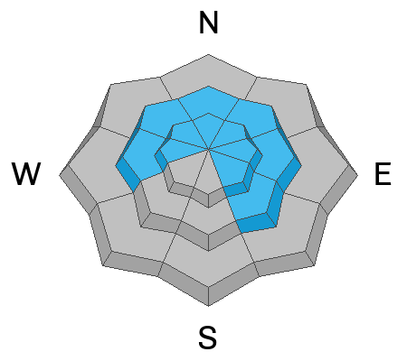
Low
Moderate
Considerable
High
Extreme
Learn how to read the forecast here
Special Announcements
March kicks off our Spring Campaign! If everyone in Utah’s backcountry community donates the cost of something they regularly enjoy on an adventure—like a dawn patrol burrito, a backpack snack, or post-ride trailhead drinks—we could fund not just one but two forecasters for the entire season! Donate here. Thank you!
Weather and Snow
We're in the thick of it. It snowed much of the night, with snow amounts fairly evenly distributed (8-12"/1-1.5" SWE) along the Ogden skyline and terrain east of Eden. As we're still in the warm sector of the storm, temperatures have remained steady or have slightly risen with the snowfall and are in the upper-20s. Winds, originally out of the south-southeast, have veered slightly to the south and southwest. Hourly wind speeds are 20-25mph with gusts to 30mph and a bit higher along the highest ridgelines.

For today, we'll see continued snowfall out of the southwest that may add up to another 6-12". Snowfall may become a bit showery by afternoon but kick back in as the flow shifts to the northwest, accompanied by colder temperatures and lower density snow. Winds today will be 15-20mph out of the southwest with mountain temps in the mid to upper 20s. We may see another 4-8" overnight and through close of business Friday. Clearing for the weekend with a somewhat active pattern for next week.
Recent Avalanches
Snow cat drivers reported some natural avalanche activity in the very early morning hours.
Ad
Avalanche Problem #1
Wind Drifted Snow
Type
Location
Likelihood
Size
Description
These hourly wind speeds of 20-25mph should be perfect for developing soft wind slabs just to the lee of ridgelines and other terrain features. They'll be most prominent on northerly facing slopes and cross-loaded on others. Ski cuts and cornice drops are effective mitigation strategies with these soft slabs...but remember these strategies are inherently dangerous. New cornices will also crack out on approach.
Avalanche Problem #2
New Snow
Type
Location
Likelihood
Size
Description
New snow instabilities can be elevated whenever you see temperatures rising during the storm as we see today. I would expect to see new soft slabs easily triggered within the new snow at various interfaces. Test slopes are excellent primers for this. Remember that avalanche instability spikes during periods of heavy snowfall: back off steep terrain when this occurs. Natural avalanches are also likely during periods of heavy snowfall.
Additional Information
In the very southern end of the Ogden area mountains (Farmington-Bountiful Sessions), upper elevation northwest to east facing terrain requires more caution. A buried PWL (persistent weak layer) can be triggered with enough new snow and wind.
General Announcements
This information does not apply to developed ski areas or highways where avalanche control is normally done. This forecast is from the U.S.D.A. Forest Service, which is solely responsible for its content. This forecast describes general avalanche conditions and local variations always occur.