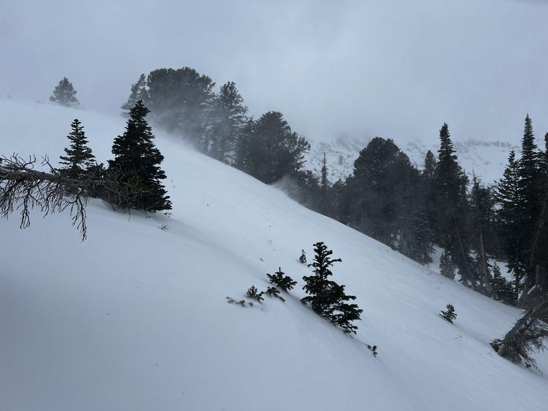
Overnight, the headline continued to be the southerly wind, which wreaked havoc across the upper elevations, averaging 20 to 30 mph with gusts into the 40s and 50s.
This morning, it's beginning to snow (heavy in places). This brings the three-day storm total to roughly 6 to 12 inches of snow (0.34"-0.80" swe). It's tough to add up as all the snow was blown from the boards. Ben Lomond just had a reading of 0.40 inches of water in an hour. That's impressive, and if it's true, there is likely a natural avalanche cycle happening now at that location.
The wind has veered west and continues to blow 15 to 25 mph, with gusts into the 20s and 30s along the upper ridgelines. On Ogden Peak it's currently blowing 30-40 mph gusting to 52. Current mountain temperatures have cooled and range from 20 to 30 °F.
Today, we can expect snowfall in the morning hours, with hopefully 3 to 7 inches (0.20"-0.45" swe) of new snow throughout the day. Ben Lomond already beat this forecast. The wind will remain from the west and northwest, at times averaging 10-20 mph with gusts into the 20s and 30s. Mountain temperatures will remain cold as this storm ushers in colder air, with daytime highs topping out in the mid to upper 20s °F.
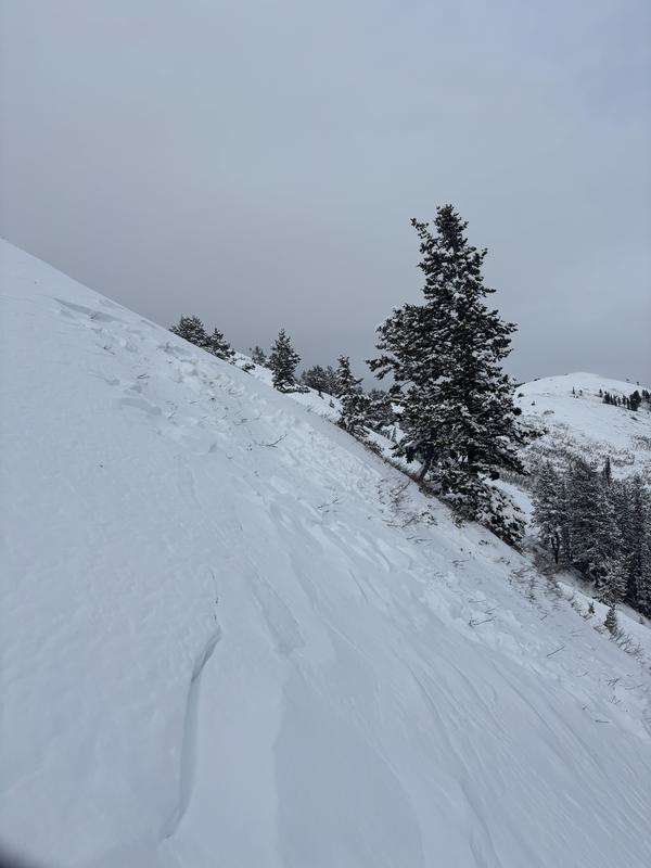
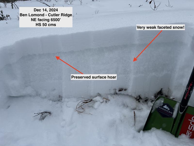
During yesterday's peak winds, we likely saw a natural avalanche cycle within the storm snow. In some cases, with enough wind loading, avalanches broke into weaker faceted snow (pic below). Backcountry observers noted isolated shallow wind-drifted snow on ridgelines. They also noted cracking and collapsing within the snowpack. Snowpack tests showed propagation across the columns. See Gagne and Brandt observation
HERE or the video below.
Photo: Van Silver showing a natural avalanche north of the Divide on the Ben Lomond ridgline.


