Join us at our 2nd Annual Blizzard Ball

Forecast for the Ogden Area Mountains

Drew Hardesty
Issued by Drew Hardesty on
Wednesday morning, December 11, 2024
The avalanche danger is LOW and normal caution is advised. Watch for the development of shallow, new soft slabs of wind drifted snow along the higher ridgelines by the afternoon. These may crack out on you, but shouldn't pose too much of an issue except in steep rocky terrain. Isolated loose snow sluffs may also be expected in very steep northerly terrain.
Low
Moderate
Considerable
High
Extreme
Learn how to read the forecast here
Special Announcements
Weather and Snow
Weak ridging overhead will keep us under mostly clear skies for the day. Temperatures have rebounded from yesterday's overnight lows and are in the upper teens to low 20s. Winds are generally light from the west.
For today, we'll see increasing westerly winds and mountain temperatures rising into the upper 30s. We do have a storm on tap for tomorrow night into Friday, although I don't expect much to show from it other than increasing southwest winds and a good drop in temperatures. Another storm follows for late weekend and another perhaps on Tuesday.

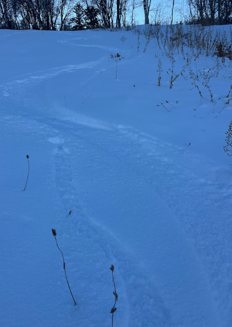
Travel is difficult ("character building") with the thin snowpack (1-2 feet of coverage) and hitting obstacles is your primary concern. That said, soft turns can be found in wind and sun sheltered terrain. Brian Smith was up along the North Ogden divide and his report can be found HERE>
Brian Smith photo
Recent Avalanches
No new avalanche activity was reported from the Ogden area mountains.

Check out all recent observations HERE.
Ad
Avalanche Problem #1
Persistent Weak Layer
Type
Location
Likelihood
Size
Description
Nearly all the white snow you see in the mountains is either hard, slick melt freeze crusts, or a horror show of weak faceted sugary snow. This sugary snow will continue to lose strength and even start to produce point release sluffs in the steepest, coldest, shady terrain. The current structure does not bode well when we see significant storms this winter. See Dr Smith's video of the snowpack conditions below.
General Announcements
This information does not apply to developed ski areas or highways where avalanche control is normally done. This forecast is from the U.S.D.A. Forest Service, which is solely responsible for its content. This forecast describes general avalanche conditions and local variations always occur.