Forecast for the Moab Area Mountains

Eric Trenbeath
Issued by Eric Trenbeath for
Monday, April 25, 2022
We're through issuing regular avalanche forecasts for the season but will post condition updates as warranted through the month.
Updated Monday, April 25.
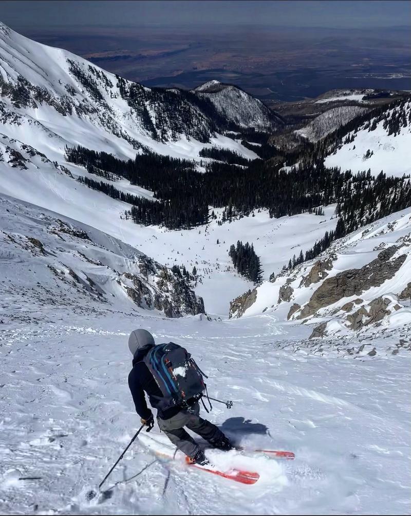
A strong sun and warm temperatures will quickly saturate the recent snow and loose, wet avalanches will be likely as the day heats up. Signs of instability include rollerballs, pinwheels, and small "point release" sluffs. Stay off of steep slopes when these signs are present or when the snow becomes wet and sloppy.
Remain on the lookout for unstable slabs of wind drifted snow on the leeward sides of ridge crests and terrain features in upper elevation, wind exposed terrain.
Low
Moderate
Considerable
High
Extreme
Learn how to read the forecast here
Special Announcements
We're through issuing regular forecasts for the season but will update through the month with a general conditions report as significant weather conditions dictate. I would like to give a huge shout out to all who supported operations this season. This includes everyone who regularly used the forecast to stay safe; our local business sponsors Moab Gear Trader, Talking Mountain Yurts, and ROAM Industry; Mammut, Black Diamond Equipment, Voile, and Arva for setting us up with the gear we need to do our job; the Manti-La Sal National Forest for their tremendous support of this program; and last but not least, our great local community and crew of dedicated observers who provide vital information and assistance throughout the season. Thanks everyone, see you next winter!
Weather and Snow
Get current and past 24-hour readings from these real-time weather links.
Wind, temperature, humidity on Pre Laurel Peak (11,700')
NWS Weather Forecast
Snowpack Discussion:
The mountains picked up 5" of new snow on Friday, and another 3" on Sunday. Shifting, moderate to strong winds on Friday blew and drifted snow forming fresh slabs on the leeward sides of ridge crests and terrain features in upper elevation, wind exposed terrain. Most of these instabilities have likely settled out, but remain on the lookout for unstable slabs of wind drifted snow. Sunshine and warm temperatures today will quickly saturate the recent, dry, cold snow, and loose, wet avalanches will be likely as the day heats up. The threat of loose, wet avalanches will persist through the week. Signs of instability include rollerballs and pinwheels and sloppy wet snow. Stay off of, and out from under steep slopes when these signs are present.
Ad
Avalanche Problem #1
Normal Caution
Type
Location
Likelihood
Size
Description
Spring Time Avalanche Concerns
Loose Wet Avalanches are the most common springtime avalanche hazard as a strong sun and warm temps melt and soften the snow surface. Signs of instability include rollerballs, pinwheels, and "point release" sluffs that fan out and gather more snow as they travel down the slope. Timing is everything this time of year. Work slopes according to their aspect in relation to the sun and get off of steep slopes as they become wet and sloppy.
Wet slabs release when melt water saturates a layer in the snowpack and the over riding slab fails as a cohesive layer. These avalanches are harder to predict than loose wet, and outward signs of this problem are not obvious, but sloppy, wet, or punchy snow indicate that the pack is trending towards unstable. Successive nights without a freeze and warm daytime temps contribute to instability. Avoid thin shallow rocky areas and terrain under cliffs, especially if the snow is becoming wet and sloppy.
New Snow can cause the avalanche danger to rise just like in the winter. Poorly bonded new snow can cause problems on all aspects when there is more than about 6" of new snow. Loose snow sluffs and soft slab avalanches are possible. This type of instability typically settles out in a day or two.
Wind Drifted Snow can create unstable drifts or slabs on the leeward sides of ridge crests and terrain features. Recent wind drifts are recognizable by their smooth, rounded appearance and cracking is a sign of instability. Unstable wind drifts can linger for days or even up to a week.
Additional Information
That's all folks! See you next year!
General Announcements
This forecast is from the U.S. Forest Service, which is solely responsible for its content. This forecast describes general avalanche conditions and local variations always occur.