24 Hour Snow trace Weekly Snow 3" Base Depth in Gold Basin 48" Wind N 11 mph G18 Temp 2F
Weather: Temperatures were in the single digits to low teens Tuesday with gusty wind. It snowed lightly for most of the day with a few peeks at the sun here and there until late afternoon when things started to clear. It looks like a couple of nice days ahead with plenty of sun and a gradual warming trend. We should see highs in the mid 20s today with light to moderate speed northwest wind. The next small storm is shaping up for Sunday into Monday.
Snowpack: Not to insult you folks around the La Sals here, and you probably already know this, but, your snowpack is in horrible shape. At least there's been a small amount of lipstick smeared on that ugly pig. You'll find 2 to 4 inches of new snow from the last few days on top of the old tracks, sun crusts and wind crusts. While I accept that surface conditions might not always be the best for us at all times, the real problem in the La Sals is deeper. Let me give you a narrative of my field day on Tuesday which will describe what I found.
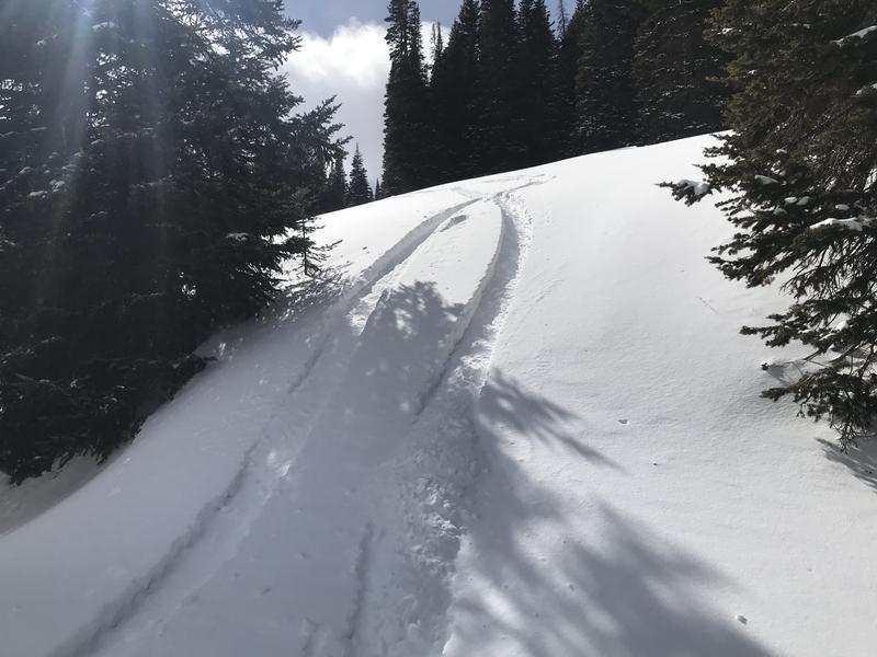
The last time I was here I skied in the Gold Basin zone. I wanted to cover some ground this visit so my partner and I took snowbikes intending to go from Geyser pass to Dark Canyon. We stopped at Geyser pass for our first look at the snowpack. It was around 4 feet deep and didn't look too bad. I've seen better but it was supportable. There was some weak snow but nothing too alarming.
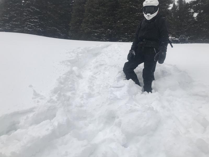
We then continued along the road heading east until we came upon a clearing heading up the northeast ridge of Mellenthin. I suggested we climb the low angle slope up a bit and have another look at the snowpack. No need to dig a pit because 50 feet above the road my track broke through the various crusts and I trenched deep into pure faceted sugar snow. I stepped off the bike to get it unstuck and both my feet punched through almost to the ground which was only about 3 feet below the surface. This would set the stage for the rest of the day.
At first I thought "we must just be in a shallow location, it's probably better in most other areas". We continued on. We took another stab at getting up the hill and made it but were trenching deep through the crusts into the facets which were just sifting out from under the tracks.
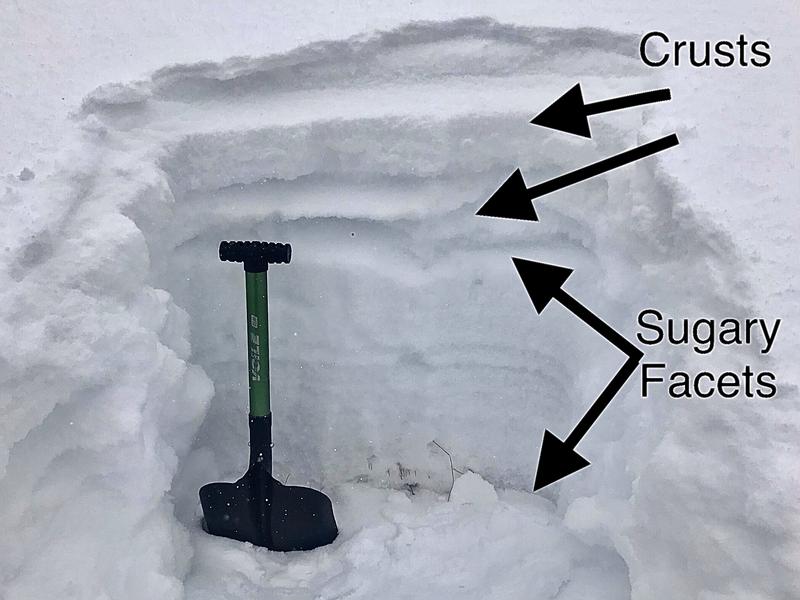
We climbed to 10,900' on an east facing slope. Things were not getting better. The pack was barely supportable. We dug a pit to take a closer look. Basically, what we found here was what we found for the rest of the day. There are a few melt/freeze and or wind crusts near the surface which are the only thing keeping the snowpack a little bit supportable. Pure sugar below that.
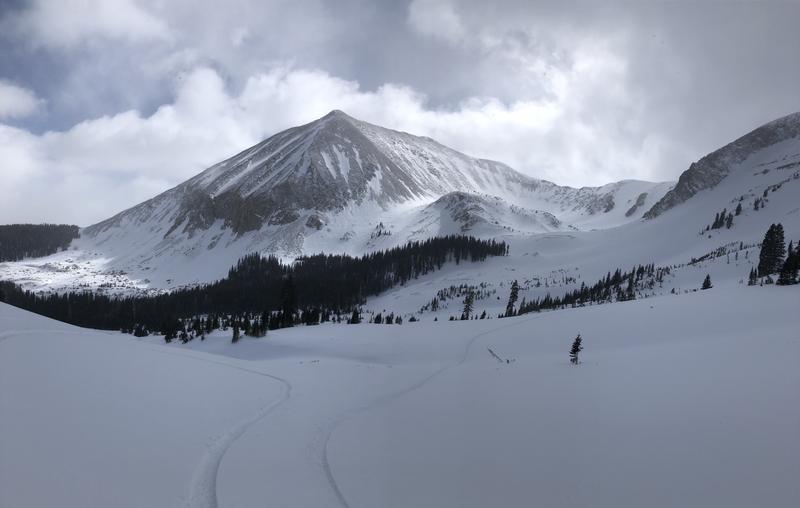
We continued to work around to the east toward Dark Canyon. We continued to encounter "punchy" conditions where the machines would punch through the crusts and into the facets below. It was difficult navigation. We felt we could not just go anywhere we wanted and really needed to pick our lines cautiously. We got into Dark Canyon and climbed up into the basin to around 11,000'. We found more of the same "punchy" conditions. There were a few areas in the basin where the pack felt solid under the machines but not many.
We started to backtrack the way we came. Back at Geyser Pass, we decided to head north and check out the area around Burro Pass. We found more of the same. The snowpack was just barely supportable and we would trench into facets in lots of places. When we would step off the machines, we would punch deep into the snowpack. No bueno.
The main problem as I see it is the overall shallow nature of the snowpack. In my experience, when a snowpack is around 3 feet deep or less and it goes through a long period of clear weather, regardless if it was once quite strong it tends to deteriorate into a giant pile of facets. Once a pack reaches around 4 feet or a bit more, it can handle a long dry spell better without completely falling apart. Unfortunately, it appears to me that the pack has fallen apart in the majority of the terrain we traveled in. This is not an acute issue but certainly could be down the road.