Forecast for the Moab Area Mountains

Issued by Eric Trenbeath for
Monday, January 6, 2014
Monday, January 6, 2014
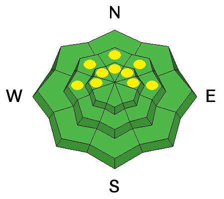
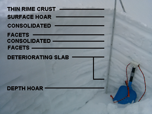
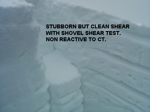
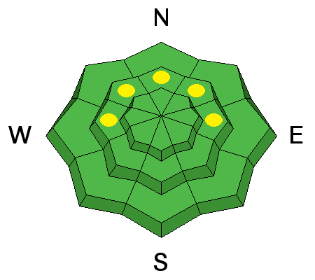
A MODERATE but isolated avalanche danger still exists for triggering a buried, persistent slab. Though isolated, this problem still exists on upper mid elevation slopes steeper than about 35 degrees that have a NW-NE aspect. Suspect areas down slope from ridge tops and beneath rock bands. There is also a MODERATE danger of triggering a loose snow avalanche on steep shady slopes, primarily at mid elevations, where the snow pack has been taken over by the faceting process. Elsewhere in the range, the avalanche danger is generally LOW.
Low
Moderate
Considerable
High
Extreme
Learn how to read the forecast here