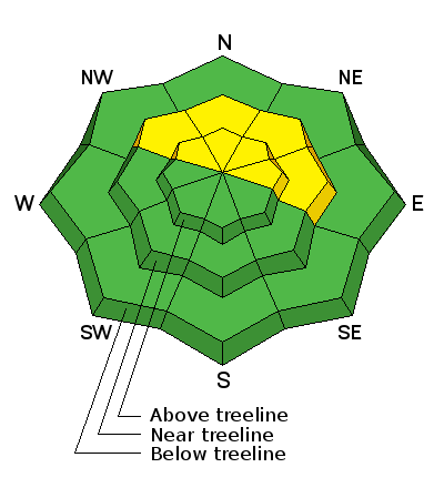
An unsettled weather pattern is in store for most of the week but it doesn't look like any of the systems are going to be big snow producers.
Monday
Snow likely, mainly before 11am. Areas of blowing snow before 11am. Mostly cloudy, with a high near 20. Wind chill values as low as -10. Windy, with a southwest wind 30 to 35 mph, with gusts as high as 50 mph. Chance of precipitation is 60%. Total daytime snow accumulation of 1 to 3 inches possible.
Tonight
Snow likely, mainly between 9pm and 1am. Areas of blowing snow between 9pm and 1am. Cloudy, with a low around 12. Windy, with a southwest wind around 30 mph, with gusts as high as 45 mph. Chance of precipitation is 60%. New snow accumulation of 1 to 3 inches possible.
Tuesday
A 40 percent chance of snow. Mostly cloudy, with a high near 21. Breezy, with a west southwest wind 15 to 25 mph.
Tuesday Night
Snow likely, mainly after 11pm. Areas of blowing snow after 11pm. Cloudy, with a low around 14. Breezy, with a west southwest wind around 20 mph. Chance of precipitation is 60%. New snow accumulation of 1 to 3 inches possible.
Wednesday
Snow likely, mainly before 11am. Areas of blowing snow before 11am. Cloudy, with a high near 24. Breezy, with a west wind 15 to 20 mph. Chance of precipitation is 60%.
Wednesday Night
A 50 percent chance of snow. Cloudy, with a low around 16.
Thursday
A 50 percent chance of snow. Cloudy, with a high near 24.
Thursday Night
Snow likely, mainly before 11pm. Areas of blowing snow before 11pm. Mostly cloudy, with a low around 11.
Friday
A chance of snow. Partly sunny, with a high near 22.