Forecast for the Logan Area Mountains

Toby Weed
Issued by Toby Weed on
Tuesday morning, April 8, 2025
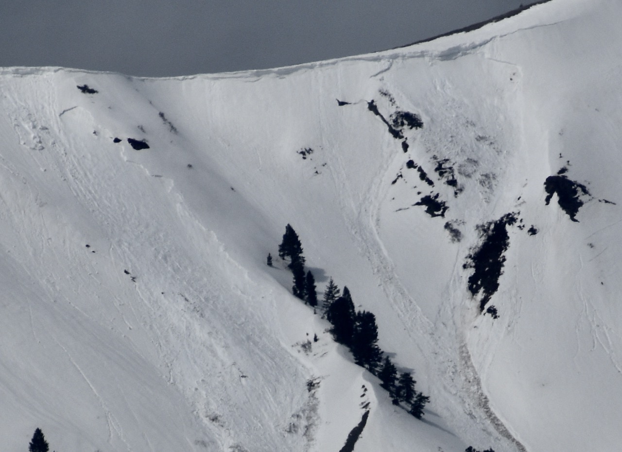
The snow is stable, and the avalanche danger is LOW despite last night's poor refreeze. Strengthening winds from the west and some clouds should prevent the snow from getting too soft, but periods of sun and seasonal warmth may elevate the threat of loose, wet avalanches on slopes steeper than 30 degrees.
  • Use normal caution and follow safe travel protocols, exposing only one person at a time to avalanche risk.
  • Stay off of and well away from large, overhanging cornices, as they can break back much further than expected.
  • Avoid being on steep slopes with saturated snow, especially those above trees or other terrain traps.
Low
Moderate
Considerable
High
Extreme
Learn how to read the forecast here
Special Announcements
Snowmobile and snow bike riders—Please consider taking this 5-minute survey to help researchers better understand avalanche education participation and safety preparedness. Responses are anonymous and confidential. Thank you!
Weather and Snow
High clouds trapped the April warmth in the atmosphere overnight, and mountain temperatures stayed well above freezing... A superficial surface refreeze will not last long, and we will likely start sinking into saturated snow earlier today than we did yesterday. Plan on a significant warm-up in the next few days, with daytime temperatures pushing 60° F at the highest elevations in the Bear River Range later in the week. This will elevate the danger of wet avalanches, especially if nighttime temperatures don't fall below freezing.
The snow has completely melted off, or what remains is very shallow and patchy below about 7000 feet in elevation.

The Tony Grove Snotel at 8400 feet reports 40° F, with 90 inches of total snow. It's 36° F at the Card Canyon weather station at 8800 feet with 69 inches of total snow. At 9700 feet at CSI's Logan Peak Wx station, strengthening winds are blowing from the west-southwest at 25 to 40 mph, and it's 34° F. The winds on Paris Peak at 9500 feet are blowing from the west-southwest at 17 to 25 mph, and it's 32° F.

Today will be partly sunny, with a chance of snow showers in the afternoon. Expect high temperatures at 9000 feet near 44° F. Increasing winds out of the west will blow 18 to 23 mph in the afternoon. Winds could gust as high as 37 mph. Little or no snow accumulation is expected. Tonight will be mostly cloudy, with a low temperature around 28° F. Winds from the west 15 to 20 mph decreasing to 8 to 13 mph after midnight. Tomorrow will be mostly sunny, with a high temperature near 48° F. Winds from the west-southwest will increase during the day, blowing 13 to 18 mph in the afternoon.
Fair weather and very warm mountain temperatures are expected in the later part of the work week, with temperatures at the highest elevations in the Bear River Range rising to around 60° F on Thursday and Friday.

For more information, visit the UAC weather page here: Weather - Utah Avalanche Center
For Logan-specific weather, go here: Logan Mountain Weather - Utah Avalanche Center
Recent Avalanches
No avalanches were reported yesterday.
Read about all avalanches and observations HERE.
Ad
Avalanche Problem #1
Normal Caution
Type
Location
Likelihood
Size
Description
Today's warm temperatures will increase the danger of wet avalanches. The poor overnight refreeze may cause the snow to soften up earlier in the day today than it did yesterday. As the snow gets slushy or sticky, wet avalanches will become possible on steep slopes. Roller balls and pinwheels are sure signs of instability.
  • Pay attention to potential terrain traps below you, like trees, cliffs, or gullies, that a small avalanche might carry you into.
  • Avoid being under steep slopes with saturated snow.
  • If you are sinking in above your ankles, move to a cooler aspect, elevation, or lower-angle terrain.

Avoid being on or underneath overhanging cornices, as they can break back much further than expected and could trigger avalanches on slopes below. The warm temperatures make them more fragile.
These natural wet avalanches in Rattlesnake Canyon in the Wellsville Mt Wilderness occurred during our most recent warm spell at the end of March. After a few warm nights and mountain daytime temperatures in the 50s, cornice falls spawned by the heat, triggered wet slab avalanches.
Additional Information
Here is the video from Wednesday (4-2-25) in the Provo Area Mountains. Don't underestimate the potential of wet avalanches; avoid and stay out from under steep slopes with saturated snow in the heat of the day.
General Announcements
-National Forest Winter Recreation Travel Maps show where it's open to ride: UWCNF Logan, Ogden LRD Tony Grove, Franklin Basin CTNF Montpelier
-For all questions on forecasts, education, Know Before You Go, events, online purchases, or fundraising, call 801-365-5522.
-Remember the information you provide could save lives, especially if you see or trigger an avalanche. To report an avalanche or submit an observation from the backcountry, go HERE.
-Receive forecast region-specific text message alerts to receive messages about changing avalanche conditions, watches, and warnings. Sign up and update your preferences HERE.
-We are excited to announce the launch of our new mobile application available on both Android and IOS. Get all the information you need to plan your backcountry adventure and keep the information at the tip of your fingers while you are out. Install the Android version HERE and the IOS version HERE.

This forecast is from the U.S.D.A. Forest Service, which is solely responsible for its content. This forecast describes general avalanche conditions, and local variations always occur.