Forecast for the Logan Area Mountains

Issued by Toby Weed on
Monday morning, April 27, 2020
We are done issuing danger ratings and regular avalanche forecasts for the season, but coverage is good, and we will continue to post observations and provide conditions updates through April.
Thank you for your support!
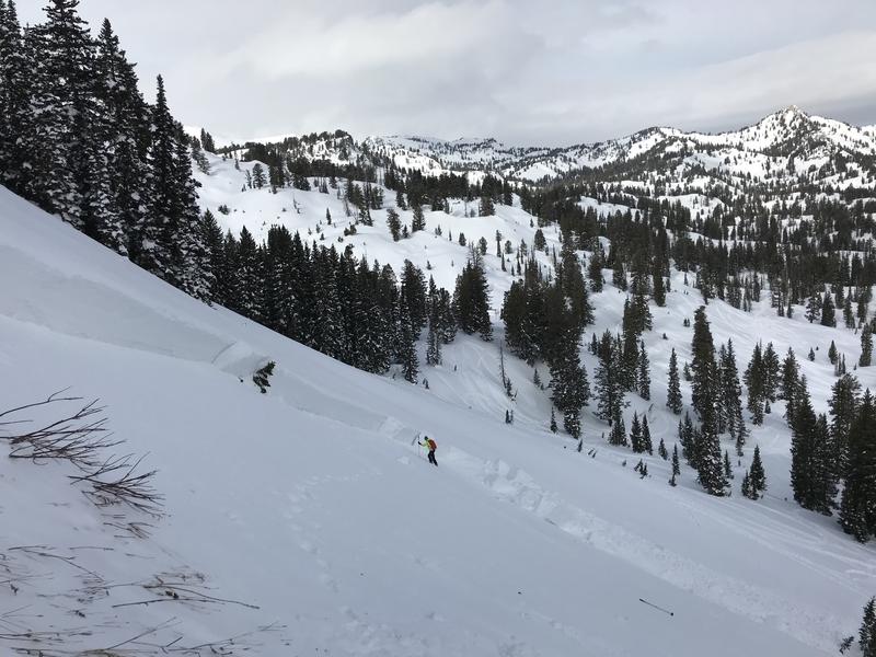
- Evaluate snow and terrain carefully, and continue to practice safe travel protocols to minimize your risk during the current health crisis.
- Avoid and stay out from under ridge top cornices and steep slopes with saturated snow during the heat of the day.

Low
Moderate
Considerable
High
Extreme
Learn how to read the forecast here
Special Announcements
The Avalanche Research Program at Simon Fraser University is conducting an online survey to examine how people use avalanche safety information. They want to hear from all backcountry users to understand how they process information provided in public avalanche forecasts. Anyone who completes the survey before May 15th will be entered to win cash prizes.
Weather and Snow
It's 42°F this morning at the 8400' Tony Grove Snotel, and there is 82 inches of total snow at the site with 123% of normal Snow Water Equivalent for the date. It's a very warm morning at upper elevations in the mountains, and the snow did not refreeze well last night. It's 41°F at the 9700' CSI Logan Peak weather station, and south-southwest winds are currently blowing around 20 mph.
A weak weather system will brush by to the north of Utah today. Otherwise high pressure will remain the dominant weather feature through the upcoming week, with record high temperatures possible by midweek. Expect this week's very warm temperatures to rapidly melt snow in the mountains.
Recent Avalanches
- There were numerous natural wet loose avalanches and cornice falls on steep slopes in the Logan Zone this weekend.
- Riders triggered wet sluffs and a small wet slab avalanche in a very steep terrain in Boss Canyon yesterday (4-25-2020).
A list of this season's avalanches in the Logan Zone is HERE

Paige approaching the crown of a solo skier triggered avalanche in Miller Bowl near Tony Grove Lake, 1-20-2020....
Avalanche Problem #1
Wet Snow
Type

Location

Likelihood

Size

Description
By far the warmest days year of the year, and record setting warm temperatures are expected this week. The heat will cause increasing danger of loose wet avalanches on steep slopes during the day, and dangerous avalanche conditions will likely develop on many slopes. Natural and human triggered wet loose avalanches and cornice falls are likely in the heat of the day, and dangerous wet slab avalanches are possible on some steep upper elevation slopes.
- Rapidly warming temperatures, roller balls, pin wheels, and other natural or triggered loose wet avalanches are all red flags indicating wet avalanche potential.
- If the snow you are riding in gets sticky and slushy or wet, it's time to move to someplace cooler or off and out from under steep hills.
- Stay off and out from under large ridge top cornices, which could break much further back than expected and could trigger avalanches on slopes below.
Additional Information
Information on outdoor recreation - The State of Utah created this webpage with information about recreating on both state and federal public lands during the current health crisis.
Skiing and riding at closed ski resorts - Some resorts allow access now, and some do not. Please check HERE for the latest info on ski area access.
New to the backcountry (including riding at closed resorts) - Watch the award-winning, 15 minute Know Before You Go video, or take the 5-part, free online-learning series.
General Announcements
EMAIL ADVISORY. If you would like to get the daily advisory by email you subscribe HERE.
Remember your information can save lives. If you see anything we should know about, please help us out by submitting snow and avalanche observations....HERE. You can also call us at 801-524-5304, email by clicking HERE, or include #utavy in your tweet or Instagram.
This forecast is from the USDA Forest Service, which is solely responsible for its content. The forecast describes general avalanche conditions and local variations always occur.