Forecast for the Logan Area Mountains

Toby Weed
Issued by Toby Weed for
Monday, April 18, 2022
We're done issuing regular avalanche forecasts and danger ratings for the season.
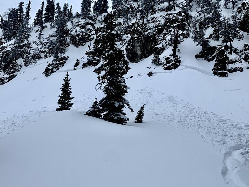
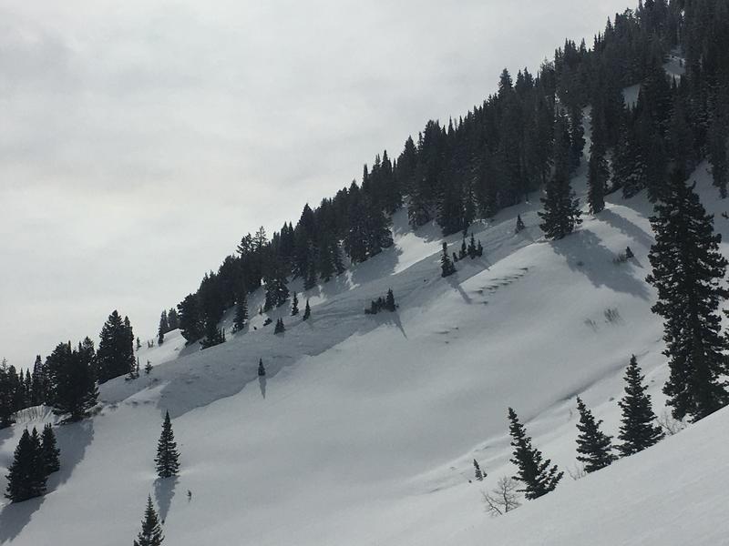
Seasonal warmth and high angled sun will cause a heightened danger of wet loose and wet slab avalanches as temperatures rise in the middle of the day. In the Spring it's a good idea to get an early start so you can reach your objective and get down before the surface snow gets wet and sloppy.
Low
Moderate
Considerable
High
Extreme
Learn how to read the forecast here
Special Announcements
Today is our last regular avalanche forecast but we will continue posting observations and avalanches. Thanks for a great season!
Weather and Snow
The 8400' Tony Grove Snotel reports 32°F this morning, and there is 69 inches of total snow at the site, containing 76% of normal SWE. South winds are currently blowing around 20 mph at the 9700' CSI Logan Peak weather station with gusts in the upper 20's. Last week's powder riding conditions are a thing of the past as seasonal temperatures took their toll over the weekend.
In addition to providing a few bonus powder days, last week's wet weather (4.9" SWE total since Monday) moved us a bit closer to the average for the season.
Recent Avalanches
Multiple soft slab and wind slab, natural and human-triggered avalanches were reported Friday and Saturday. All occurred above 9000' on north through east facing slopes and ranged in width from 100' to 1000' wide.
This snowmobile-triggered avalanche in White Pine Canyon was 2' deep and 1000' wide. (PC: Hawley)
This natural wind slab avalanche, reported Saturday, occurred at 9200' on a north facing slope. (PC: Choi)
Check out all the recent backcountry observations and avalanche reports from across Utah HERE.
Ad
Avalanche Problem #1
Wind Drifted Snow
Type
Location
Likelihood
Size
Description
Sustained winds have created sensitive areas of wind drifted snow. These drifts mainly exist on north and east facing slopes but can develop on all aspects with erratic mountain winds.
Avoid steep slopes with freshly wind-drifted snow as well as areas like sub-ridges, scoops, and other terrain features where sensitive drifts of snow can form. Many of the recent avalanches occurred under cliff bands, on steep rollovers, and just below ridgelines. Much firmer snow underfoot is a good clue you're on a wind slab as well as a hollow, drum-like feel. Watch for shooting cracks - a sure sign of instability.
Sheltered slopes less than 30 degrees will be your best bet for safe travel.
Avalanche Problem #2
Wet Snow
Type
Location
Likelihood
Size
Description
It's mid-April and the possibility exists of triggering a loose wet or wet slab avalanche. The high sun angle can quickly warm and soften the snow creating unstable conditions. With today's temperatures, wet avalanches may not be much of a problem but they will for sure be tomorrow with mountain temperatures nearing 50 F.
Watch for signs of instability like rollerballs and pinwheels. When the snow surface becomes damp or saturated, it's time to move to lower-angle terrain or perhaps call it a day.
Additional Information
  • Always follow safe backcountry travel protocols. Go one person at a time in avalanche terrain, while the rest of your party watches from a safe area. (practice anytime while traveling on or under backcountry slopes steeper than 30°)
  • Check your avalanche rescue equipment, change your batteries, and practice often with your backcountry partners.
    Check slope angles, and to avoid avalanche terrain stay off of and out from under slopes steeper than 30° and adjacent slopes. Video Here
General Announcements
Special thank you to Polaris and Northstar...Video Here
Who's up for some free avalanche training? Get a refresher, become better prepared for an upcoming avalanche class, or just boost your skills. Go to https://learn.kbyg.org/ and scroll down to Step 2 for a series of interactive online avalanche courses produced by the UAC.
  • Please submit your observations from the backcountry HERE.
This information does not apply to developed ski areas or highways where avalanche control is normally done. This forecast is from the U.S.D.A. Forest Service, which is solely responsible for its content. This forecast describes general avalanche conditions and local variations always occur.