Forecast for the Logan Area Mountains

Toby Weed
Issued by Toby Weed for
Saturday, March 25, 2023
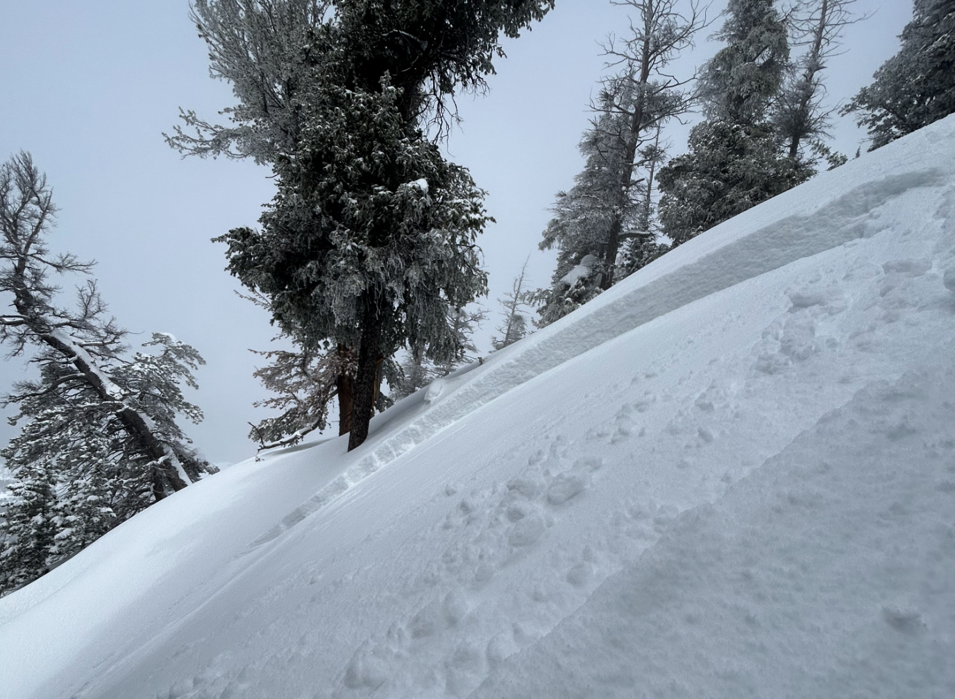
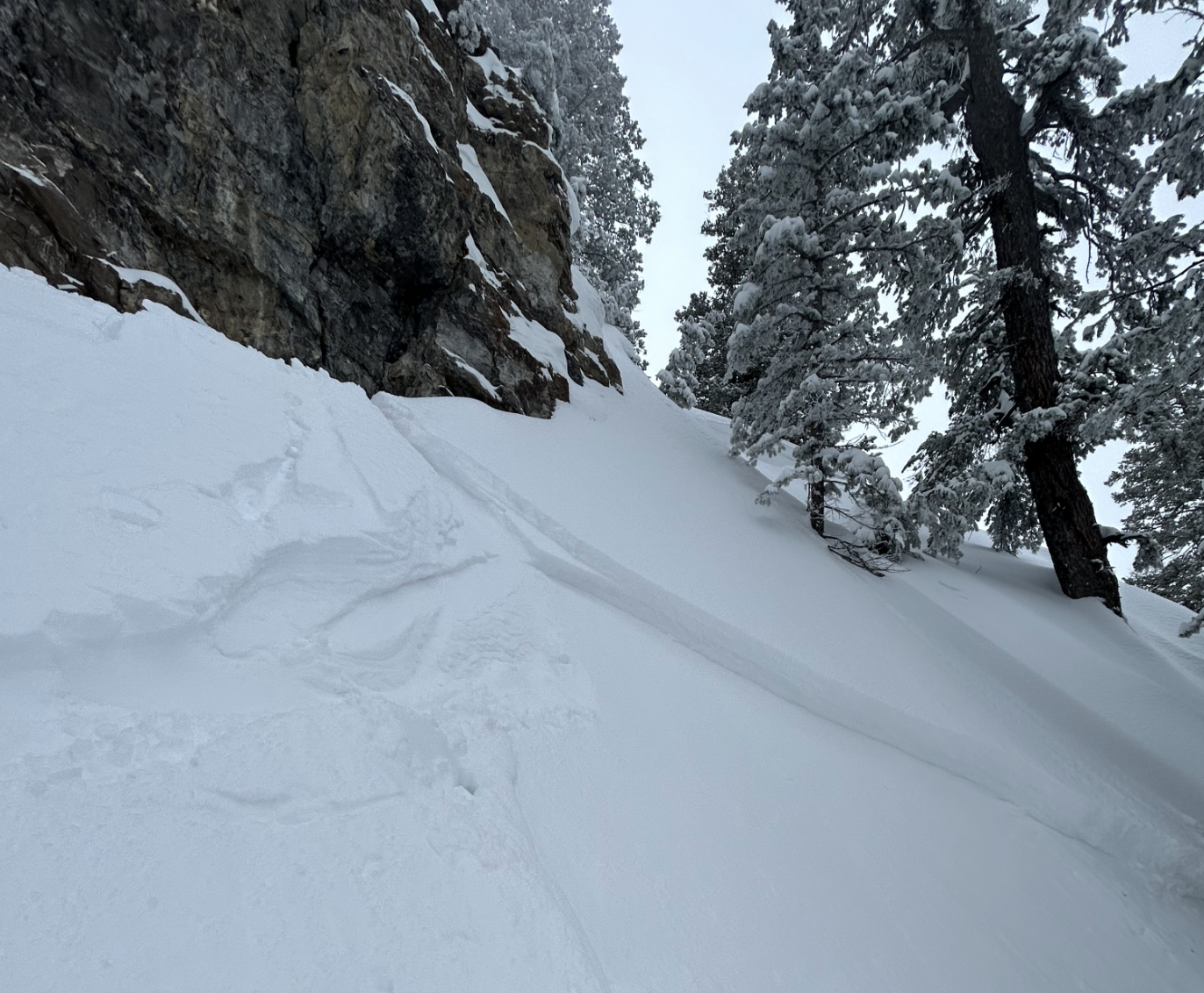
Heavy snowfall and drifting from westerly winds have created HIGH avalanche danger on upper elevation slopes in the backcountry. Natural avalanches are probable and people are likely to trigger loose and soft slab avalanches of storm snow, large cornice falls, or thicker slab avalanches of wind drifted snow. Dangerous avalanche conditions will also be found in drifted mid and lower elevation terrain, and avalanches of new snow are likely on steep slopes facing all directions.
Avoid being on or under drifted upper elevation slopes steeper than 30°. Stay well clear of avalanche runouts since long running natural avalanches are likely.
Low
Moderate
Considerable
High
Extreme
Learn how to read the forecast here
Special Announcements
Thank you to everyone who donated to our Spring Campaign. We appreciate your support and look forward to creating new tools to help you stay safe in the backcountry.
We are in the process of finalizing a report about the March 9th avalanche fatality in the Uintas. Thank you for your patience, and we will publish the final report in coming days.
Weather and Snow
The 8400' Tony Grove Snotel reports 17 inches of new snow in the last 24 hrs. It's 11° F and there is 151" of total snow. It's snowing heavily this morning at Beaver Mountain as seen on their webcams. The wind is blowing from the west around 22 mph, with gusts around 40 mph at the 9700' CSI Logan Peak weather station.

Here is the NWS point forecast (36 hrs) for high elevations in the Central Bear River Range:
Today: Snow showers likely. Mostly cloudy, with a high near 17. Wind chill values as low as -8. Blustery, with a west wind 20 to 25 mph, with gusts as high as 36 mph. Chance of precipitation is 70%. Total daytime snow accumulation of 3 to 5 inches possible.
Tonight: Snow showers likely, mainly before 9pm. Mostly cloudy, with a low around 3. Wind chill values as low as -13. West wind 11 to 20 mph. Chance of precipitation is 60%. New snow accumulation of 1 to 3 inches possible.
Sunday: Snow showers. High near 19. Wind chill values as low as -8. West wind 9 to 16 mph. Chance of precipitation is 80%. New snow accumulation of 1 to 3 inches possible.
The National Weather Service has continued a Winter Storm Warning for the Logan Zone through noon. Unsettled weather with snow showers in the mountains will continue through the weekend, and it looks like the sun might come out for a bit on Monday. More snowy weather is likely to last through next week.
Recent Avalanches
  • An observer reports triggering a few soft avalanches of wind drifted snow in the Logan Peak Area yesterday. These were less than a foot deep and 20 to 30 feet wide.
  • For a list of recent avalanches in the Logan Zone go HERE
  • It was a bit more active in the Wasatch Range in the last few days due to wind drifted snow. Find a list of all recent observations & avalanches from across Utah HERE.
Ad
Avalanche Problem #1
Wind Drifted Snow
Type
Location
Likelihood
Size
Description
This morning's west-northwest winds are plenty strong enough to drift the fresh snow into avalanche starting zones. Expect to find huge sensitive cornices and freshly formed wind slabs in drifted upper elevation terrain.
  • Large cornice falls or 1' to 3' thick wind slabs are likely for people to trigger in windy terrain at upper elevations.
  • Avoid corniced slopes and stiffer drifts on steep slopes near ridges and in and around terrain features like cliff bands, sub-ridges, mid-slope break-overs, and gully walls.
  • The overhanging cornices on the high ridges have become huge with recent storms, so continue to stay well away and out from under them.
Avalanche Problem #2
New Snow
Type
Location
Likelihood
Size
Description
  • Loose and soft slab avalanches of storm snow are possible in steep terrain at all elevations.
  • People could trigger soft slab or loose avalanches of storm snow today even on sheltered slopes steeper than 30°.
  • Natural avalanches of storm snow are most likely during periods of particularly heavy snowfall and drifting.
    Avalanches of new snow are possible on low elevation slopes.
  • The snow on lower elevation slopes is quite a bit deeper than it normally is this time of year, especially on shady forested slopes.
  • Colder temps are helping to solidify the saturated older snow, but many lower elevation slopes picked up significant accumulations of new snow yesterday and overnight.
Additional Information
A skier triggered a few small slab avalanches of drifted snow in the Logan Peak Area on Thursday.
This small triggered wind slab avalanche included two shallow layers of recent storm snow.
General Announcements
  • Please submit your observations from the backcountry HERE.
  • For a list of avalanche classes from the Utah Avalanche Center go HERE
  • For information on where you can ride your sled or snowbike, check out this map of the winter travel plan for the Logan and Ogden Ranger Districts HERE, and a close up of the Tony Grove and Franklin Basin Areas HERE.
This forecast is from the U.S.D.A. Forest Service, which is solely responsible for its content. This forecast describes general avalanche conditions and local variations always occur.