Forecast for the Logan Area Mountains

Issued by Toby Weed on
Monday morning, March 25, 2013
Monday morning, March 25, 2013
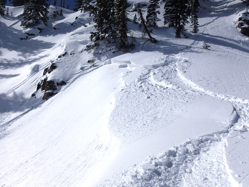
Although the danger is LOW on most slopes this morning, areas with heightened avalanche conditions exist in the backcountry, and there's still a MODERATE (or level 2) danger on drifted slopes at upper elevations. You might trigger 1 to 2 foot deep wind slab avalanches on steep slopes with recent deposits of drifted snow, and ridge-top cornices might break further back than expected, potentially triggering wind slab avalanches on slopes below. Midday solar warming will create heightened avalanche conditions and a rising danger of loose wet and heat related avalanches on slopes with saturated surface snow. Evaluate the snow and terrain carefully, and continue to follow safe travel protocols...
Low
Moderate
Considerable
High
Extreme
Learn how to read the forecast here