Get Your Ticket to the 32nd Annual Backcountry Benefit on September 11th! Support Forecasting, Awareness, and Education
Ad

Forecast for the Logan Area Mountains

Toby Weed
Issued by Toby Weed on
Tuesday morning, March 24, 2020
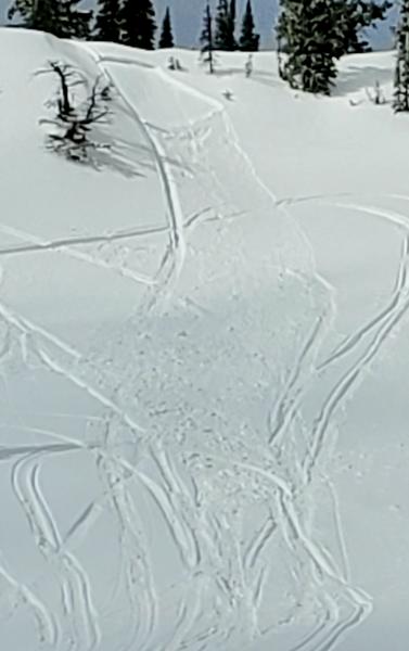
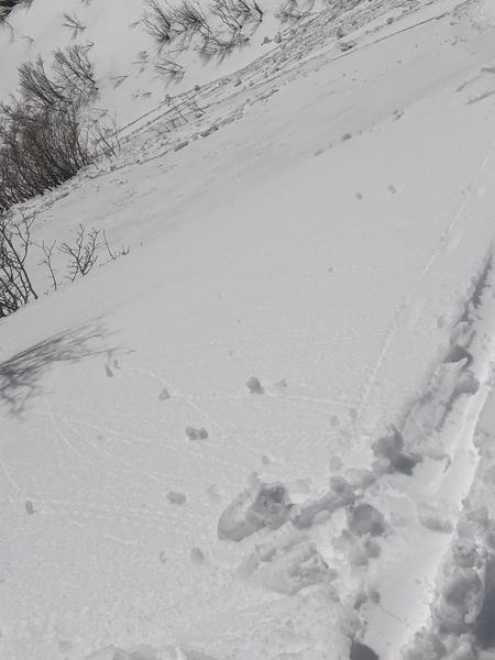
A cold and strong winter storm will impact the Logan Zone today, and the avalanche danger will increase with heavy snowfall and drifting from westerly winds. Heightened avalanche conditions and MODERATE danger will likely develop on many slopes by late afternoon. Rain overnight on remaining saturated lower elevation snow increased potential for loose wet avalanches, and these could gouge to the ground and entrain large piles of heavy debris. The winter storm will cause avalanche danger to rise and become more widespread tonight and tomorrow.
  • Evaluate snow and terrain carefully
Low
Moderate
Considerable
High
Extreme
Learn how to read the forecast here
Special Announcements
UAC operating schedule - We will continue issuing regular avalanche forecasts into mid April.
Spring Awareness Campaign - The UAC counts on donations from the backcountry community. We know these are uncertain times and any donation during our awareness campaign will help us continue providing avalanche forecasting and education.
CDC Guidelines - Even in the backcountry and in parking lots, please follow CDC guidelines like limiting group size and keeping a distance of at least 6 feet from other people to protect yourself and others. Read the guidelines HERE.
Taking risks - Be extra conservative to avoid the risk of accidents which can stress the capacity of our medical system.
Skiing and riding at closed ski resorts - Some resorts allow access now and some do not. Please check HERE for the latest info on ski area access.
New to the backcountry (including riding at closed resorts) - Watch the award-winning, 15 minute Know Before You Go video, or take the 5-part, free online-learning series.
Weather and Snow
It's 29°F at the 8400' Tony Grove Snotel. About 2 inches of new snow fell early this morning at the site, and there is 89 inches of total snow, containing 108% of normal Snow Water Equivalent. It's 24°F at the 9700' CSI Logan Peak weather station, and southwest winds are currently blowing about 22 mph, with a 45 mph gust earlier this morning.
Rain fell at lower elevations and a few inches of heavy snow accumulated up higher overnight. Expect pre-frontal weather this morning and a strong winter storm to impact the Logan Zone later today...

The National Weather Service has issued a Winter Storm Warning for our area from 3:00 this afternoon through 4:00 PM Thursday. A cold and strong storm system will impact much of the state later today through Thursday night. High pressure will build into the area for the weekend.
Snow showers are likely and some thunder is possible today, with 3 to 7 inches of accumulation possible. 8500' high temperatures of 38°F and 10 to 20 mph westerly wind are expected. It will snow in the mountains tonight, with 5 to 9 additional inches of accumulation possible on upper elevation slopes. Low temperatures are expected to be around 19°F, and it will be pretty windy with 20 to 25 mph west-southwest winds veering from the north and subsiding a bit by tomorrow morning. Snow will continue tomorrow, with 2 to 4 inches possible. High temperatures will be near 32°F and southwest winds will blow 9 to 14 mph.
Recent Avalanches
Sunday, we noticed a sizable natural cornice fall avalanche off the south ridge of Mt. Magog on an east facing slope at around 9400' and some long running natural loose wet avalanches in Logan Dry Canyon, (SW @ 8000')
Observers report triggering small slabs of wind drifted snow as well as loose avalanches of dry and moist surface snow at upper elevations this weekend.
This 1' x 20' rider triggered soft slab avalanche occurred Friday, 3-20-2020.
A skier intentionally triggered a loose wet avalanche in the Wellsville Mountain Wilderness Saturday, 3-21-2020.
Ad
Avalanche Problem #1
New Snow
Type
Location
Likelihood
Size
Description
Sun may pop out from behind the clouds this morning, and last night's new snow will quickly become moist with seasonal warm temperatures. People could trigger small loose avalanches consisting of moist surface snow on steep upper elevation slopes. A strong winter storm will impact the Logan Zone today, and rapid accumulations of heavy snow and drifting from southwest winds will cause rising danger and heightened avalanche conditions on upper and mid elevation slopes. Avalanches are possible, and people could trigger shallow soft slab or loose avalanches of fresh storm snow on steep upper and mid elevation slopes later this afternoon.
Avalanche Problem #2
Wet Snow
Type
Location
Likelihood
Size
Description
Rain fell on the saturated remaining snow at lower elevations overnight. Loose wet avalanches entraining cement-like piles of debris may be possible for people to trigger on very steep slopes, and some natural activity may occur today.
General Announcements
EMAIL ADVISORY. If you would like to get the daily advisory by email you subscribe HERE.
Remember your information can save lives. If you see anything we should know about, please help us out by submitting snow and avalanche observations....HERE. You can also call us at 801-524-5304, email by clicking HERE, or include #utavy in your tweet or Instagram.
This forecast is from the USDA Forest Service, which is solely responsible for its content. The forecast describes general avalanche conditions and local variations always occur.
We will update this forecast before about 7:30 Wednesday morning.