31st Annual Backcountry Benefit - September 12th - Tickets Available Here!

Forecast for the Logan Area Mountains

Toby Weed
Issued by Toby Weed on
Wednesday morning, December 6, 2023
The danger remains CONSIDERABLE on northerly facing upper elevation slopes steeper than 30 degrees. Avalanches failing on a persistent weak layer up to 3 feet deep could be triggered remotely or from a distance. Heightened avalanche conditions persist on many slopes snowcovered before last weekend's storm. The danger is LOW, where slopes were bare of snow or held only very shallow coverage.

Careful snowpack evaluation, cautious route-finding, and conservative decision-making are essential for backcountry travel in the higher terrain today.
Low
Moderate
Considerable
High
Extreme
Learn how to read the forecast here
Special Announcements
The 5th Annual Avalanche Awareness Week is December 3-10. The week's goal is to save lives through activities that promote avalanche awareness, education, and safety. We have a variety of events around the state. Find an event near you.
Know Before You Go - Tonight, December 6 - Utah State University, Logan. It’s Free! Please join us for a KBYG presentation hosted by Utah State University from 7:00 - 9:00 PM: Location: USU Aggie Recreation Center (ARC), 805 E 700 N, Logan, UT.
Weather and Snow
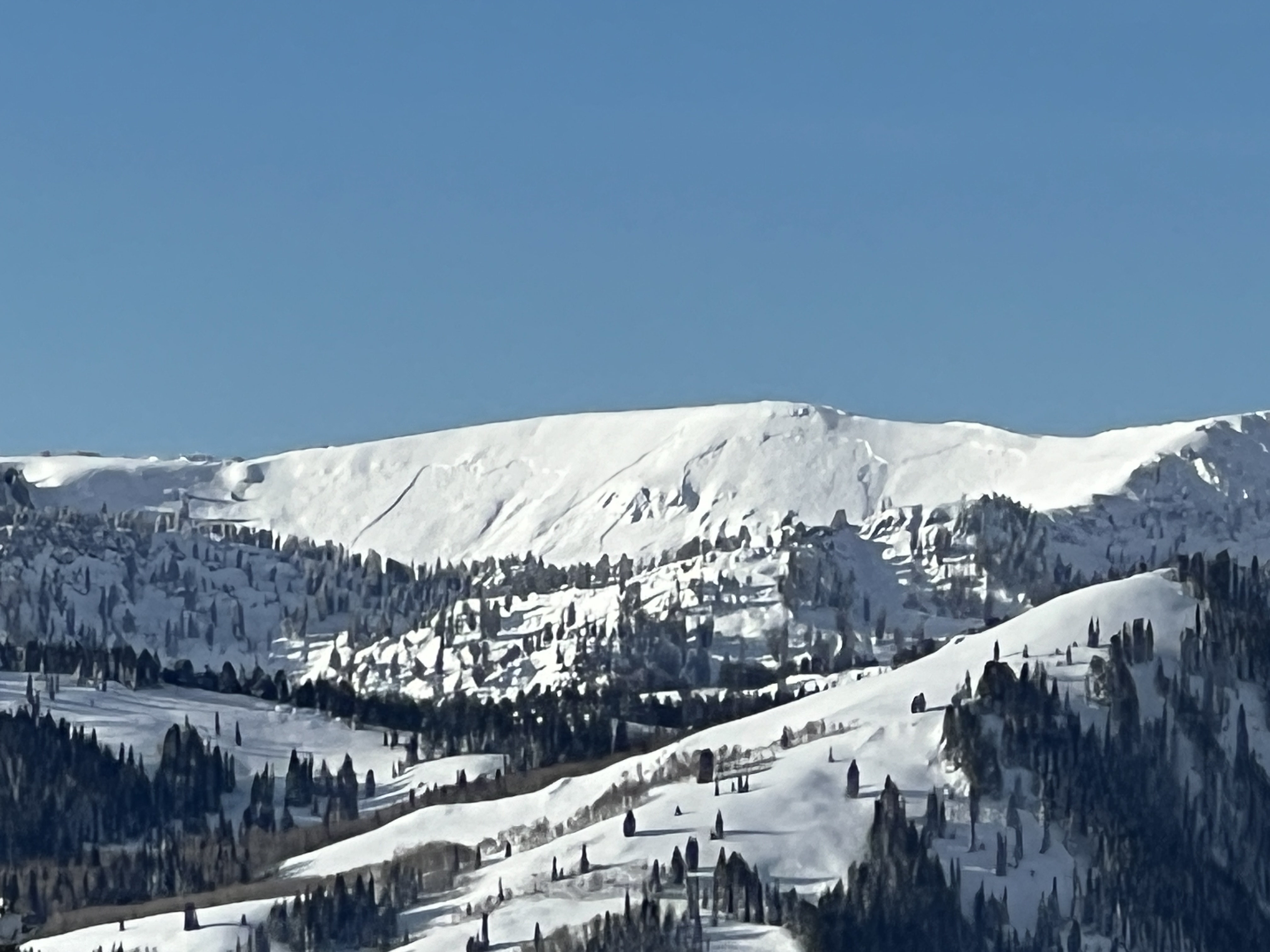
Significant drifting and very heavy snowfall occurred over the weekend, and dangerous conditions remain on slopes with underlying weak, sugary snow. Since temperatures increased toward the end of the storm and have been pretty warm in the last couple of days, the snow more closely resembles mashed potatoes than powder. Crusty surface conditions are found in sunny terrain and lower elevations, especially in the morning.

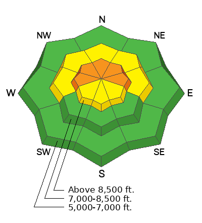
The Tony Grove Snotel at 8400' reports a total snow depth of 44 inches of settled snow, with well over 3' from the weekend storm, containing a whopping 6.6" SWE (snow water equivalent). It's 25 F this morning on Paris Peak, and the wind is blowing from the south-southwest around 15 mph, with gusts up to around 30 mph.
Today will be mostly sunny and warm. The 8500' high temperature will be around 39 F, and in the mid-40s at lower elevations in Logan Canyon. Snow is likely in the mountains, starting tonight and continuing into the weekend. Counted in inches rather than feet, accumulations will be relatively light compared to those from last weekend's storm. 5 to 9 inches could accumulate on upper-elevation slopes in the Bear River Range by Friday morning.
Recent Avalanches
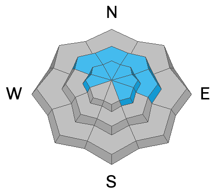
We observed numerous recent natural avalanches in the Central Bear River Range that occurred late on Sunday and overnight Monday. Clouds cleared over the Bear River Range high country yesterday morning, and several large natural avalanches, around 3 feet deep and several hundred feet wide, were seen from a distance
You can visit our avalanche page to check out the reported avalanche activity from the Bear River Mountains and the Wasatch Range.
Ad
Avalanche Problem #1
Persistent Weak Layer
Type
Location
Likelihood
Size
Description
The November snow in upper elevation avalanche starting zones before the weekend storm is extremely weak and sugary due to its shallowness and sustained cold temperatures. Heavy snow and drifting from last weekend’s storm overloaded this weak faceted snow (now a persistent weak layer), and several large avalanches up to 3 feet deep and several hundred feet wide occurred in the last few days.
We've noted increasing stability in recent days, and avalanches are generally unlikely on slopes that were bare of snow or had very shallow snow cover before last weekend's storm
  • Avalanches failing on a persistent weak layer could be triggered remotely, from a distance, or below.
  • Cracking and collapsing (or whumpfs) are definite signs of instability.
Additional Information
This fall, we installed two new weather stations in the Logan Zone. They are both up and running, producing real-time data available to the public, and they will help us forecast mountain weather and local avalanche danger more accurately.
  • The Paris Peak Weather Station (available HERE) was installed in the northern Bear River Range near the summit of Paris Peak at around 9500 feet in elevation, northwest of Bear Lake. It measures mountain-top winds in a vast area without similar data.
  • We installed the Card Canyon Weather Station (available HERE) near Red Pine Ridge at about 8750 feet in elevation north of Logan Peak in upper Card Canyon. In addition to other weather details, this station will measure the total snow depth and its changes throughout the winter.
General Announcements
Taking time to pull out, check your companion rescue gear, and practice with your transceiver is essential. watch a short video here
The Tony Grove Road is not maintained for winter driving, and you will encounter very deep snow conditions if you venture up there. You will get stuck if you try it.
Our 20th annual Pray For Snow fundraiser party was a huge success. Thanks for coming and showing your support!
This information does not apply to developed ski areas or highways where avalanche control is normally done. This forecast is from the U.S.D.A. Forest Service, which is solely responsible for its content. This forecast describes general avalanche conditions and local variations always occur.
We will update this forecast tomorrow morning.