Join us for the 17th Annual Professional Snow and Avalanche Workshop (PROSAW) on November 4 - Purchase tickets here!

Forecast for the Logan Area Mountains

Toby Weed
Issued by Toby Weed on
Friday morning, December 22, 2023
With stable snow in the backcountry, avalanches are unlikely, and the danger is LOW.

Usual caution and good situational awareness are recommended for mountain travel.
Low
Moderate
Considerable
High
Extreme
Learn how to read the forecast here
Weather and Snow
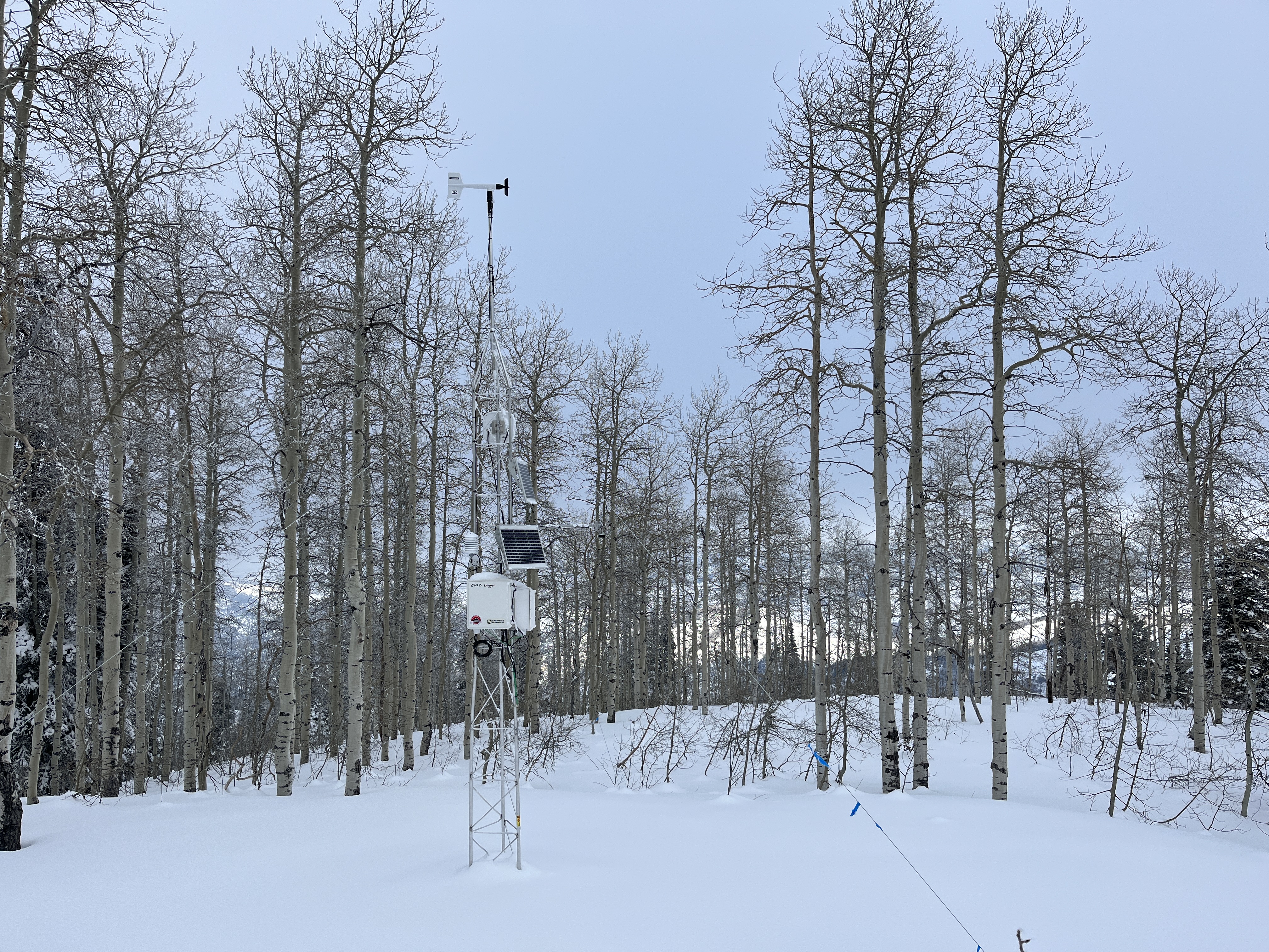
The Tony Grove Snotel at 8400' reports 42 inches of total snow, with overnight temperatures again around freezing. The CSI Logan Peak weather station at 9700' reports 27° F and 15 mph winds blowing from the south-southwest. Temperatures are hovering around 30°F at the new Card Canyon weather station with 32" of total snow on the ground.
Today will be partly sunny and mild in the mountains, with high temperatures around 35°F at 8500'. Snow is likely this weekend, with 1 to 3 inches of accumulation possible in the mountains tomorrow.

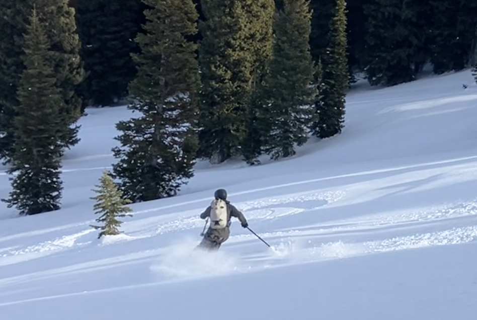
We found stable snow and decent snow conditions in the Central Bear River Range yesterday. The recent warmth and cloud cover damaged the feathery surface hoar, and thin crusts cap moist sugary surface snow (consisting of near-surface facets). A few inches of snow that is possible this weekend will do a lot to freshen things up, while it will take quite a bit more than expected to increase the avalanche danger.
Recent Avalanches
No recent avalanches were reported in the Logan Zone. Snow safety crews yesterday triggered a couple of impressive avalanches that ran on the sugary November persistent weak layer near the ground with explosives and a snowcat in Summit County.
  • Local observations are available HERE.
  • Visit our avalanche page to check out this season’s activity across Utah.
Ad
Avalanche Problem #1
Normal Caution
Type
Location
Likelihood
Size
Description
Even when the danger is LOW, always follow safe backcountry travel protocols when traveling on or under slopes steeper than about 30°:
  1. Be sure everyone in your party has working avalanche rescue equipment, including a transceiver, probe, and shovel. Practice with this equipment regularly, and include and instruct new partners.
  2. Cross avalanche paths and runout zones one person at a time, with the rest of the party watching from a safe place.
  3. Reevaluate and be willing to change your plans if you encounter apparent signs of instability, even if the forecast says the danger is LOW.

Low danger means avalanches are unlikely, not impossible. There are a few potential avalanche problems that you could encounter, especially in very steep or extreme mountain terrain.
  • Warmth has caused the snow at low elevations to be soft and saturated, and loose, wet avalanches are possible in some very steep, rocky, or cliffy terrain. The biggest problem with loose avalanches is being swept into terrain traps below, like trees, or off a cliff.
  • Winds are fairly light currently, but drifting from stronger winds is possible this weekend, and when shallow drifts or wind slabs form on existing weak surface snow, they might be triggered by people.
  • Up high and on slopes facing west, north, and east, dangerous avalanches failing on a persistent weak layer are unlikely but remain possible in isolated outlying terrain where a thick hard slab of heavy snow from early December overlies weak, sugary snow from November.
Additional Information
We found better than expected, smooth and fast, soft snow conditions in the Central Bear River Range yesterday. There really isn’t any powder but we found very good stability, easy traveling, and decent coverage.

This fall, we installed two new weather stations in the Logan Zone. The Paris Peak Weather Station (available HERE) and the Card Canyon Weather Station (available HERE)
The Card Canyon weather station on Red Pine Ridge looks at 8700' total snow depth (with 32” on the ground today).
General Announcements
  • Taking time to check your companion rescue gear and practice with your transceiver is essential. Watch a short video here.
  • IMPORTANT: Read Mark's blog about electromagnetic interference of avalanche transceivers HERE.
  • We will update this forecast tomorrow morning before 7:30 AM.
This forecast is from the U.S.D.A. Forest Service, which is solely responsible for its content. This forecast describes general avalanche conditions, and local variations always occur.