Forecast for the Logan Area Mountains

Wednesday morning, November 19, 2014
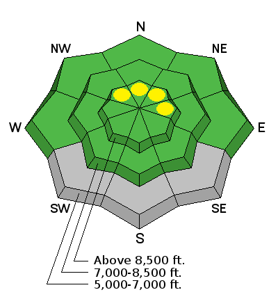
There is a LOW or level 1 danger in the backcountry. Although rather unlikely, wind slab avalanches are possible at upper elevations on some steep slopes. Avoid stiffer wind drifted snow, especially on smooth slopes with previous snow cover. Get in the habit of using safe travel protocols and practice now with your rescue equipment.

 Special Announcements
We look forward to seeing you at our annual fundraiser party at the Italian Place in Logan on December 3...
We are offering a free "Know Before You Go" avalanche awareness talk Saturday, November 22 at 2:00 at Buttar's Tractor in Tremonton.
 Weather and Snow
There's 22 inches of total snow this morning with a temperature of 26 degrees at the 8400' Tony Grove Snotel. Southwest winds increased overnight, averaging around 30 mph, and the CSI Logan Peak Weather station reports 20 degrees at 9700' on Logan Peak. Last weekend's snow is already showing the effects of a strong temperature gradient and resulting sublimation, and its starting to get a bit sugary. The Tony Grove road is not maintained for wheeled travel in the winter, and I'm not sure if you can get up anywhere near the lake. You can find good road and and open meadow riding up high, but remember the new snow is all we have, there's no base!
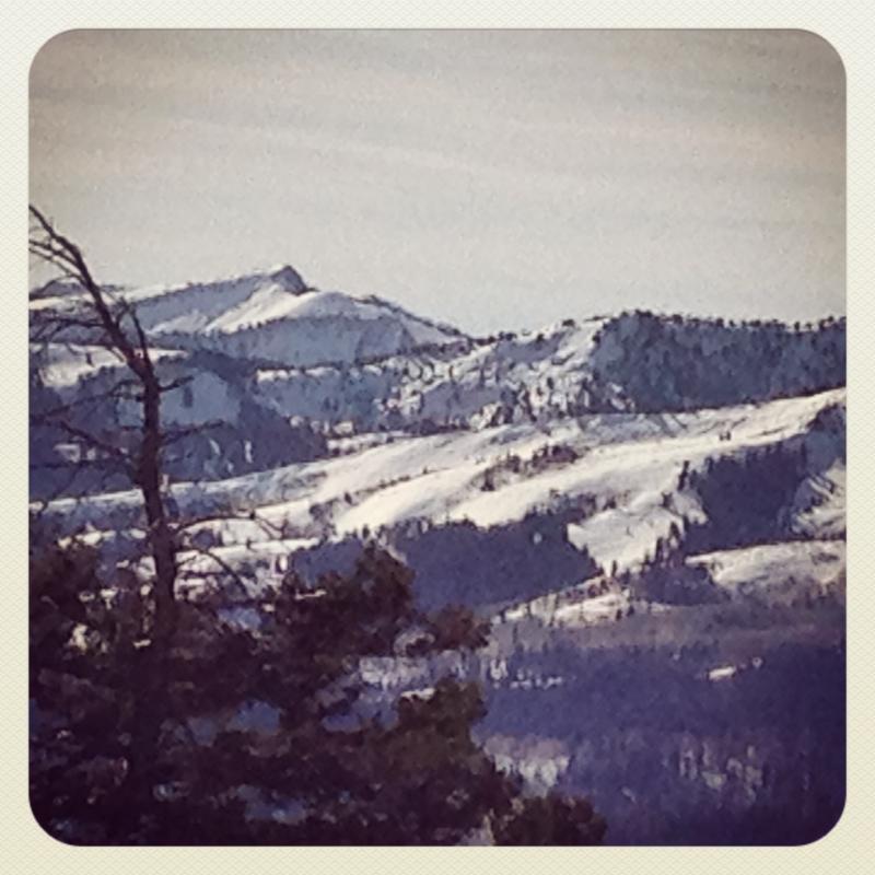
Fairly good coverage in the Central Bear River Range from last weekend's storm. Here's a look at the Blind Hollow Saddle and Mt. Elmer from the Top of Beaver Mountain yesterday, 11-18-2014.
 Recent Avalanches
No avalanches were yet reported this season in the Logan Zone, but it was active in the Wasatch over the weekend...
A party triggered several audible collapses in the Tony Grove Area on Saturday, with new snow instability the likely culprit.
Visit our Backcountry Observations Page for details
Persistent Weak Layer

Description
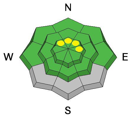
Wind slab avalanches are possible on some steep upper elevation slopes. Avoid stiffer, recently drifted snow in exposed terrain. Isolated persistent slab avalanches are possible in drifted areas with smooth underlying ground and where snow existed before last weekend's storm.
Wind Drifted Snow

Description
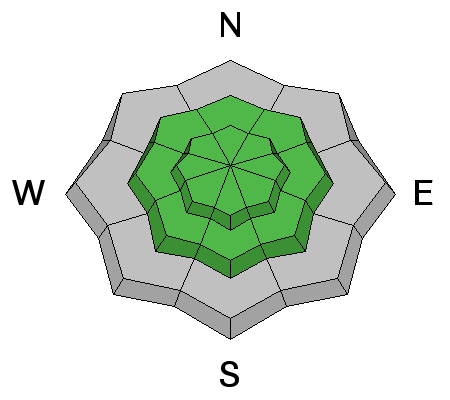
We all need an early season rescue equipment shakedown. Replace the batteries in your beacon and check to make sure your shovel and probe are operational. Practice simple rescue scenarios in the shallow snow and force your partners to partake. Practice is required and you can and should work training into early season snow play...
Additional Information
Check out our one-stop weather page........HERE
General Announcements
We are offering a free "Know Before You Go" avalanche awareness talk Saturday, November 22 at 2:00 at Buttar's Tractor in Tremonton.
Utah Avalanche Center mobile app - Get your advisory on your iPhone along with great navigation and rescue tools.
Remember your information can save lives. If you see anything we should know about, please participate in the creation of our own community avalanche advisory by submitting snow and avalanche conditions. You can also call us at 801-524-5304 or 800-662-4140, email by clicking HERE, or include #utavy in your tweet or Instagram.
Follow us at UAClogan on Twitter
This advisory is produced by the U.S.D.A. Forest Service, which is solely responsible for its content. It describes only general avalanche conditions and local variations always exist.


