Forecast for the Logan Area Mountains

Toby Weed
Issued by Toby Weed for
Monday, January 23, 2023
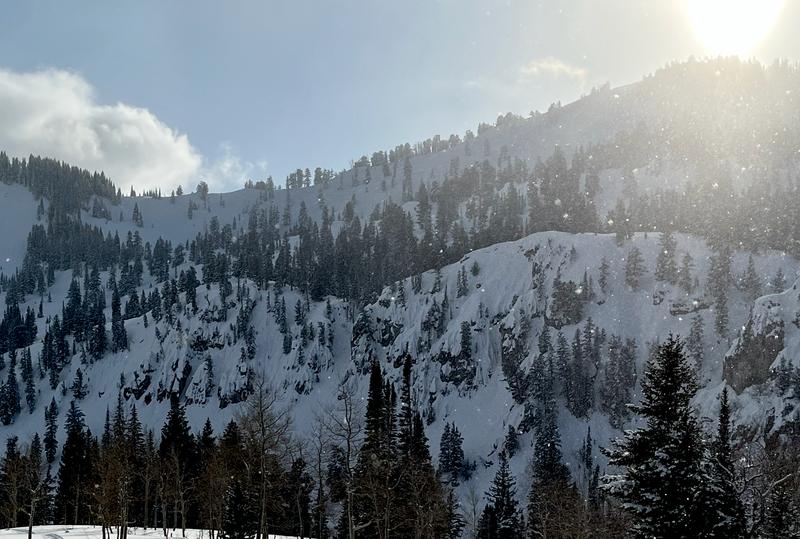
Drifting by northeast winds overnight elevated the danger to MODERATE in exposed upper elevation terrain. People could trigger small slab avalanches of wind drifted snow. The snow is generally stable in the backcountry and the danger LOW at mid and lower elevations, but people should still use normal caution.
  • Evaluate snow and terrain carefully if you venture into drifted alpine terrain.
  • Always keep an eye on your partners, travel one at a time in and below terrain steeper than 30°, and have a plan if an avalanche were to happen.
Low
Moderate
Considerable
High
Extreme
Learn how to read the forecast here
Weather and Snow
Overnight winds from the northeast blew up-slope and probably jacked the snow on many popular upper elevation powder slopes. The wind found plenty of soft powder to drift at upper elevations, blowing uphill on corniced slopes, creating stiffer slabs of snow on the normally windward side of ridges. Winds blowing from the northeast are blowing in the exact opposite direction of the prevailing (normal) winds in the area, and they drifted snow into steep slopes in abnormal places...
This morning the Tony Grove Snotel at 8400' reports 20° F and 2" of new snow from yesterday and 83"of total snow. The CSI Logan Peak weather station at 9700' is showing winds blowing from the northeast about 30 mph, with gusts in the 50s.
Today will be cold and sunny, with high temperatures at 8500' about 21° F and 10 to 15 mph winds blowing from the east, driving wind chill values down to around -4° F.
Tomorrow will be party sunny and cold, with a chance of snow in the afternoon. high temperatures around 14° F and winds blowing from the northwest creating wind chills around -10° F. The snow on the ground in the backcountry should stay pretty good with cold and cloudy weather expected to last through the week. No significant storms, and only small amounts of light snow expected.
Recent Avalanches
Minimal avalanche activity was reported in the Logan Zone recently. A skier reports triggering a couple very small avalanches of wind drifted snow in the Central Bear River Range on Saturday....HERE
Find a list of all observations & avalanches HERE.
Ad
Avalanche Problem #1
Wind Drifted Snow
Type
Location
Likelihood
Size
Description
It's a good idea to avoid areas of freshly wind-drifted snow on steep slopes. New drifts formed overnight in exposed terrain, especially in upper elevation areas where a few inches of new snow accumulated. Some of these may have formed on weakening surface snow or young surface hoar and could be pretty sensitive to being triggered by people.
  • Avoid corniced slopes and stiffer drifts on steep slopes near ridges and in and around terrain features like under cliff bands, sub-ridges, mid-slope break-overs, and gully walls..
Even a small wind slab avalanche can have large consequences.
Avalanche Problem #2
Normal Caution
Type
Location
Likelihood
Size
Description
In general in the Logan zone, the snowpack is deep and stable. There are still areas with poor snow structure, primarily where the snow is shallower, where dangerous deep slab avalanches failing on a persistent weak layer are unlikely yet still possible.
  • Overnight winds damaged the snow in exposed terrain, but you'll still find nice powder conditions in sheltered terrain at all elevations, except south facing slopes which caught a bit of sun.
  • Today the danger is Low on mid and lower elevation slopes, but remember Low danger does not mean No danger. If you are in avalanche terrain, avalanches are always possible.
  • Always travel with a partner, only expose one person at a time in steep terrain, and have a plan for what to do in case an avalanche occurs.
  • If you are in an area with shallower snow, it would be a good idea to dig down into the snow - if you can get to loose sugary snow fairly quickly, avoid steep slopes in that area.
Lingering snow flakes in the air and some sun near Tony Grove Lake.... It's a good time to visit the backcountry, but you still need to use normal caution.
General Announcements
  • Please submit your observations from the backcountry HERE.
  • For a list of avalanche classes from the Utah Avalanche Center go HERE
  • For information on where you can ride your sled or snowbike, check out this map of the winter travel plan for the Logan and Ogden Ranger Districts HERE, and a close up of the Tony Grove and Franklin Basin Areas HERE.
This forecast is from the U.S.D.A. Forest Service, which is solely responsible for its content. This forecast describes general avalanche conditions and local variations always occur.