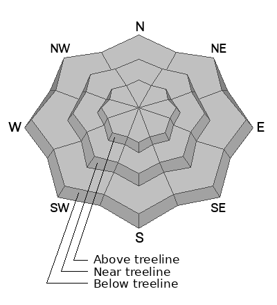
Forecast for the Abajos Area Mountains

Eric Trenbeath
Issued by Eric Trenbeath for
Thursday, April 13, 2023
Loose wet avalanches are possible on all aspects and elevations. Due to prolonged above-freezing temperatures and liquid water moving through the snowpack, there is also a possibility for larger, more destructive wet slab avalanches. Without a strong sun today, we are unlikely to see classic, red flag warnings such as roller balls and pinwheels, but punchy, wet, unconsolidated snow indicate potential instability.
Low
Moderate
Considerable
High
Extreme
Learn how to read the forecast here
Weather and Snow
NWS forecast for the Abajo Mountains.
Snow totals and temps at Buckboard Flat (8924')
Snow totals and temps at Camp Jackson (8858')

Snowpack Summary and General Conditions
Conditions have taken quite a turn and it's hard to believe we were skiing powder a week ago. The recent heat wave has made a bit of a mess out of things. Without a strong sun today, the threat of wet avalanche activity will be tempered somewhat, but three consecutive nights without a re-freeze have left the snowpack in a volatile, and somewhat unpredictable state. If the threat of avalanches isn't enough to keep you off of steep slopes, then maybe generally poor conditions will. Personally, I'm going to wait until the weekend when a couple nights with a solid re-freeze, and favorable weather brings a chance for improved conditions.
Additional Information
If you are getting out in the backcountry, we'd love to hear what you're seeing. Please submit observations here. For the most recent snowpack observations click here. You can also send an email to [email protected] or give me a call with anything noteworthy, especially avalanches! 801-647-8896
General Announcements
This forecast is from the U.S.D.A. Forest Service, which is solely responsible for its content. This forecast describes general avalanche conditions and local variations always occur.