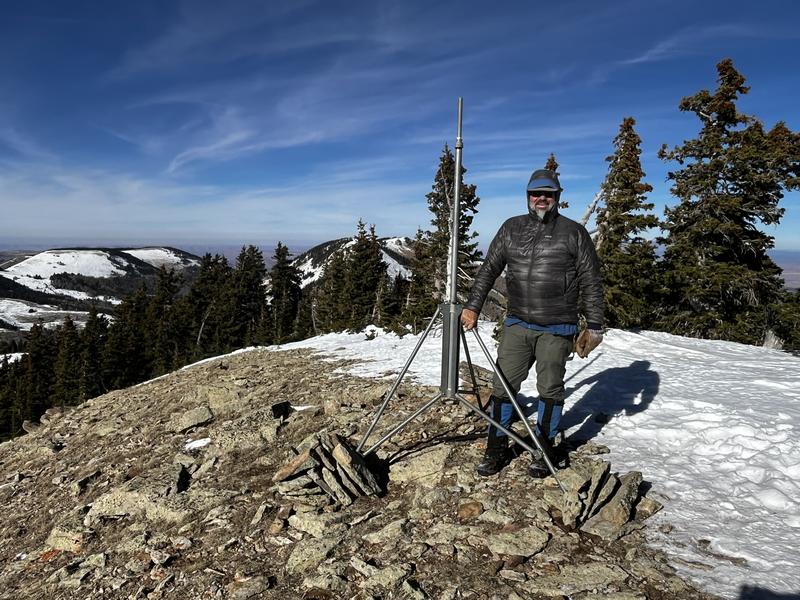
The last few flakes will fall in the early morning hours. We can expect gradually clearing skies. Today will be sunny, with high temperatures around 20 degrees. This morning, NW winds are blowing 20-25 MPH. Winds will decrease this afternoon and blow 10-15 MPH out of the North. The rest of the week looks sunny and calm with mountain temperatures in the mid-20s.
Season Snowfall History:
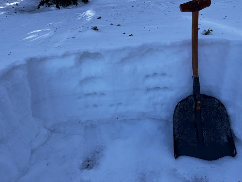
A series of storms in late October and early November brought over 2' of snow to the mountains at upper elevations. Dry conditions over the past several weeks have greatly diminished the snowpack. South facing slopes were totally bare prior to last night's storm. 6 inches of snow overnight brings the total depth up to a foot at Camp Jackson. This is still not enough snow to recreate off-trail. If you are brave enough to venture off-trail, be aware that it is possible to encounter soft slabs of wind-drifted snow at the highest elevations. Last night's new snow was accompanied by SW winds that shifted to the NW this morning. Swirling winds will have created sensitive slabs on the leeward sides of ridges, at and just below the ridgelines. Any pre-existing snow in the range is weak and faceted. Fresh wind-drifts will rest on top of weak layers on any slope that previously held snow.
Weak, sugary, faceted snow forms the foundation of our future snowpack.
Use these links for current conditions.


