
I'd like to (re) introduce our Avalanche Route Ratings for Selected Touring Routes in the Wasatch Range
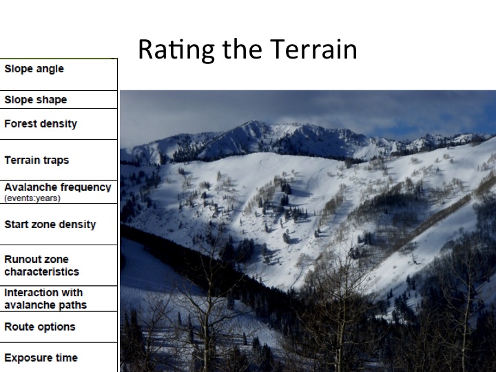
You know the old saying..."If I had a dollar for everytime...." For years we fielded calls and emails from outta towners to scout groups to beginners - "The danger's Considerable - where can I go that's safe?" And we'd tell them here or there depending on what was going on. So we set upon a project to outline 30 routes in the central Wasatch and rate them based upon static parameters (as you'll soon find out). It was shelved for a number of years but now resurrected. My initial framework was based upon the Simple, Challenging, and Complex system as designed by the Canadian Avalanche Association....but soon realized that a number of accidents in Canada had taken place in what was called Simple terrain. This wouldn't do. To remedy this, I added another level - Green - that would fit the bill and would only be suspect under Extreme circumstances (ie-old growth trees taken out, new slide paths created, etc). You'll see.
Our little range is unique in that the terrain has been well trodden,skiied, ridden, mapped, and enjoyed for years. KEY POINT - What we know is that terrain selection and management is the single most important key for enjoying the backcountry (powder euphoria, anyone?) AND coming home at the end of the day. We hope that this small project will blossom into a more comprehensive review of the backcountry terrain in the Wasatch and be used as a planning tool for outings and objectives for years to come.
Acknowledgements: Avalanche terrain ratings were developed by Grant Statham and others with Parks Canada, and we would like to thank them for developing this model. We would also like to thank Dr. Phoebe McNeally, a professor of GIS at the University of Utah and her then-students Max Felkor-Cantor, Mark Hammond, and Sheila Grindstaff for their tireless work and patience.
Hey Drew, really like this route ratings concept. It seems like public land users want to be told or given info on what they might encounter when they enter an area. The summer user wants to know what the terrain is like, the difficulty, elevation gain etc.. The backcountry skier I think would benefit from a route rating system. Is there any discussion on what training or level of knowledge a person should have to enter certain areas? Thanks for all you guys do.
Reply - Appreciate the thoughts Ted. A few years ago I created a planning tool that incorporated training/education/experience as well as the day's danger rating. It will be shelved for another couple of years. I hope that if this is popular/useful...then we can create terrain ratings for the Wasatch as well as the Uintas - and you'd be invaluable toward that effort. Thanks again.
Oh, I like this!! You must have been thinking about people like me when you worked on it. I know just enough about avalanches to scare the bejesus out of me, so this is very helpful!! Thank you!!!
Nice job on the route ratings. Always have one person in a Know Before You Go talk there to get just this sort of beta.
On Thu, Mar 28, 2013 at 7:03 PM, colinwrote:
Reply - Colin - thanks for the feedback. I've heard it from others over the years and there are always opportunities for people tomis-usetools and get themselves into trouble. This may be applicable for the avalanche world as well. Still, we feel that these tools will help save lives by giving people places to go when the danger is elevated. The Canadians have had great success with their terrain ratings system...and have gone full speed with their mapping projects. Thanks again.
Thanks for having put so much work and thought into this very helpful project. Climbing guidebooks and protection ratings go a long way to helping people avoid getting over their heads, and I think this approach can do the same for skiers and riders in the Wasatch. In an earlier blog addressing danger ratings, you had discussed using X ratings as modifiers, and I think something similar, maybe a spice rating,might help for route ratings here? E.g., some of the more technical sections of Alta to Superior might be worth3 chilies, with an extra chili awarded if your snowboard boots don't have a great sole for steep hiking...
ok drew here's what I think...
Comments welcome
Drew Hardesty


