

Observer Name
lhitchner
Observation Date
Tuesday, May 3, 2016
Avalanche Date
Tuesday, May 3, 2016
Region
Salt Lake » Big Cottonwood Canyon » Tuscarora
Location Name or Route
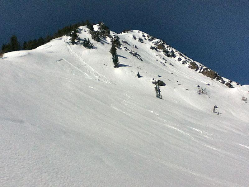
Catherine's Pass part way up South Ridge of Tuscarora
Elevation
10,300'
Aspect
East
Slope Angle
30°
Trigger
Skier
Trigger: additional info
Unintentionally Triggered
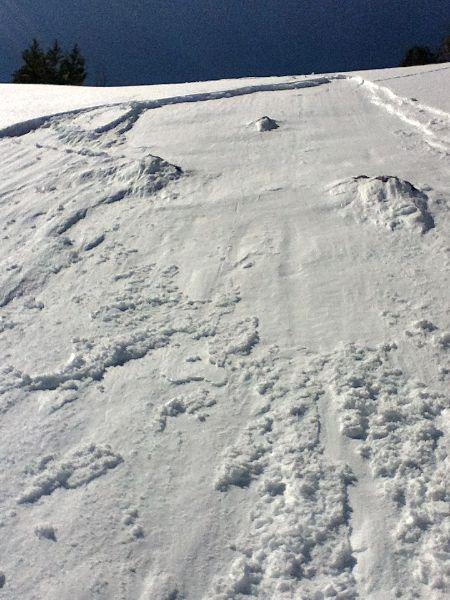
Avalanche Type
Wet Loose
Avalanche Problem
Wet Snow
Weak Layer
New Snow/Old Snow Interface
Depth
8"
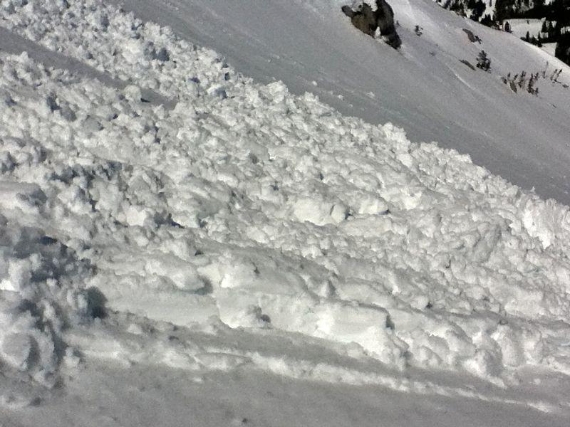
Width
60'
Vertical
80'
Caught
1
Carried
1
Comments
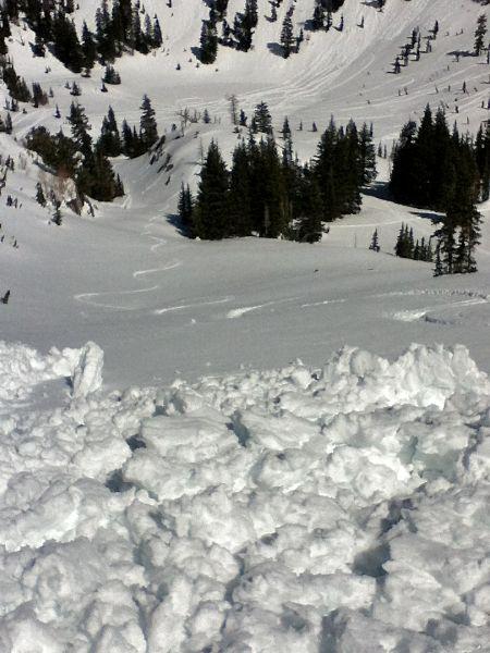
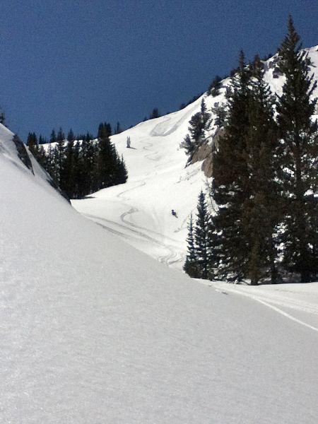
Although I usually read UAC reports every day, I hadn't checked the web page since Sunday. I should have read the Monday 5/2/16 UAC report (https://utahavalanchecenter.org/advisory/salt-lake/05/2/2016) before I stupidly skied this slope, though I was well aware of the risks and consequences. But, I skied a moderately steep East facing slope on a very warm day (45 degrees reported by NWS Top of Collins station at similar altitude and time of my accident), in mid afternoon, knowing there was a several inches deep new snowpack from last week's storm on top on the old consolidated base.
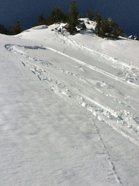
The starting slope angle of my run was moderate at only 25-30 degrees, but there was a crown where the hill angle broke at maybe 5 degrees steeper, and that's where the wet slab broke loose after my 2nd or 3rd turn made a ski cut across it. My next turn headed me right back into the sliding snow that I never detected until it pushed me downhill and into a sitting position. I rode the top of the sluffing snow and no part of me was covered by the debris.
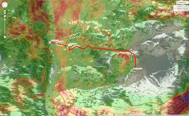
The attached screen grab image from CalTopo shows my approximated (guessed) ski route. The URL for the CalTopo map (without my ski route marked) is
http://caltopo.com/map.html#ll=40.58138,-111.59655&z=18&b=hyb&a=c,sg
Coordinates