

Observer Name
Weed
Observation Date
Tuesday, February 16, 2016
Avalanche Date
Tuesday, February 16, 2016
Region
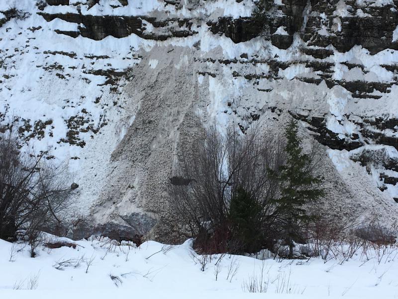
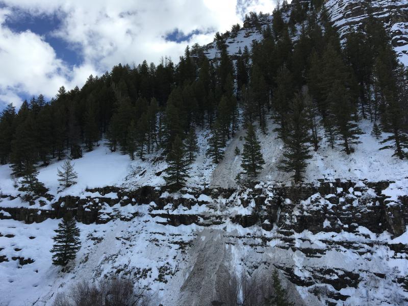
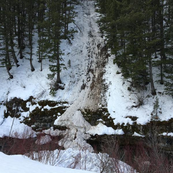
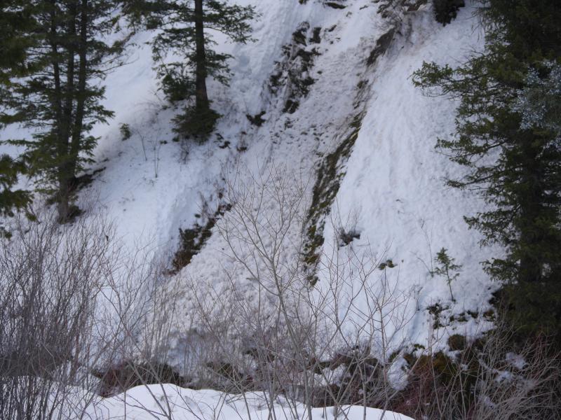
Logan » Logan Canyon » Logan River below Temple Fork
Location Name or Route
Logan River below Temple Fork
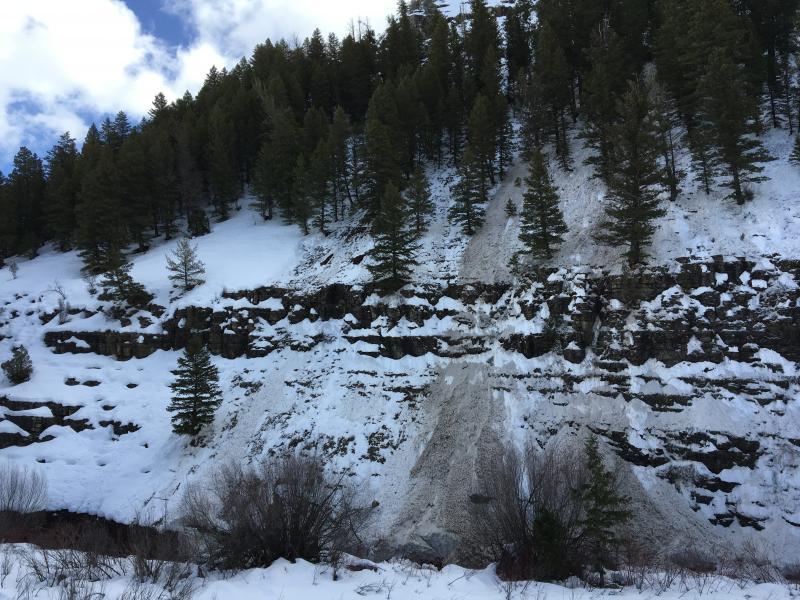
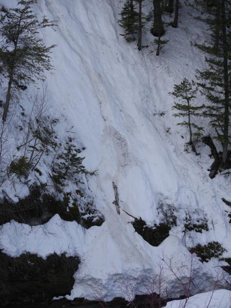
Elevation
6,600'
Aspect
North
Slope Angle
Unknown
Trigger
Natural
Avalanche Type
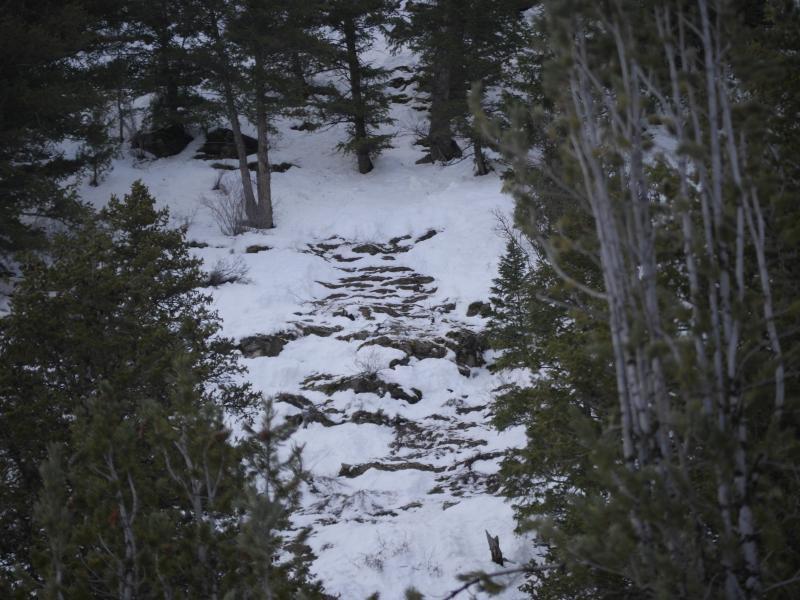
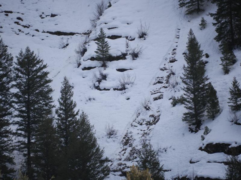
Wet Loose
Avalanche Problem
Wet Snow
Weak Layer
Ground Interface
Depth
2'
Width
80'
Vertical
800'
Comments
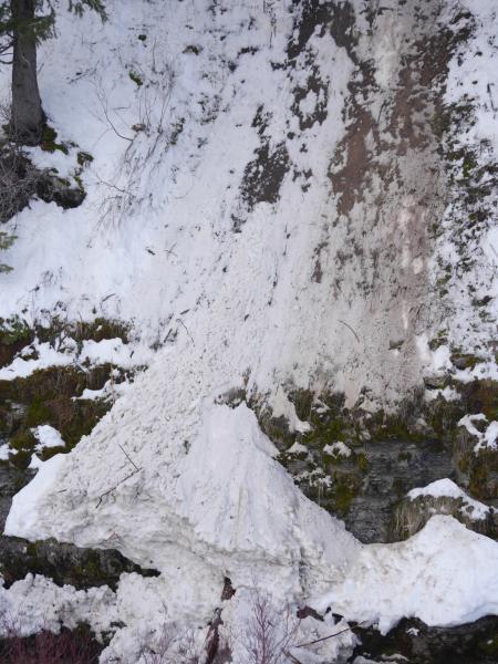
I visited the area on Tuesday, 2-16-16 around 1230 and took these pictures...
Comments
A bit later in the afternoon, (Tuesday, 2-16-16) a fisherman witnessed another slide from in the Logan River!
He posted on Instagram: " Pretty scary moment while I was in the river today. An avalanche crashed down into the river just in front of me maybe only 50 yards up river. It scared the crap out of me! "
These low elevation wet loose avalanches are catching people off guard. Dog walkers, runners, x-c skiers and fishermen...
Posted by Utah Avalanche Center in Logan on Wednesday, February 17, 2016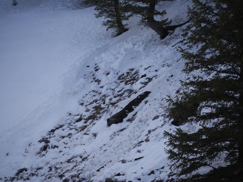
Coordinates