


Observer Name
Doug Kensicki
Observation Date
Sunday, December 8, 2013
Avalanche Date
Sunday, December 8, 2013
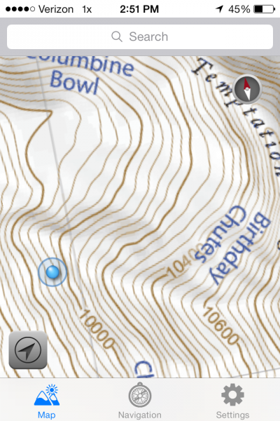
Region
Salt Lake » Little Cottonwood Canyon » White Pine
Location Name or Route
White Pine Fork
Elevation
9,900'
Aspect
West
Slope Angle
34°
Trigger
Skier
Trigger: additional info
Remotely Triggered
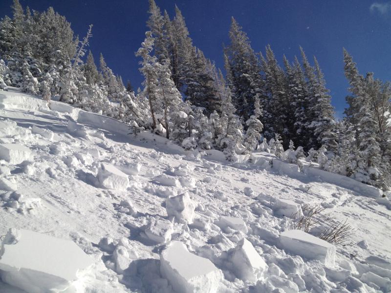
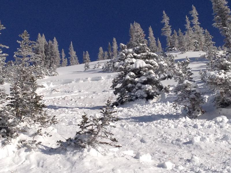
Avalanche Type
Soft Slab
Avalanche Problem
New Snow
Weak Layer
Facets
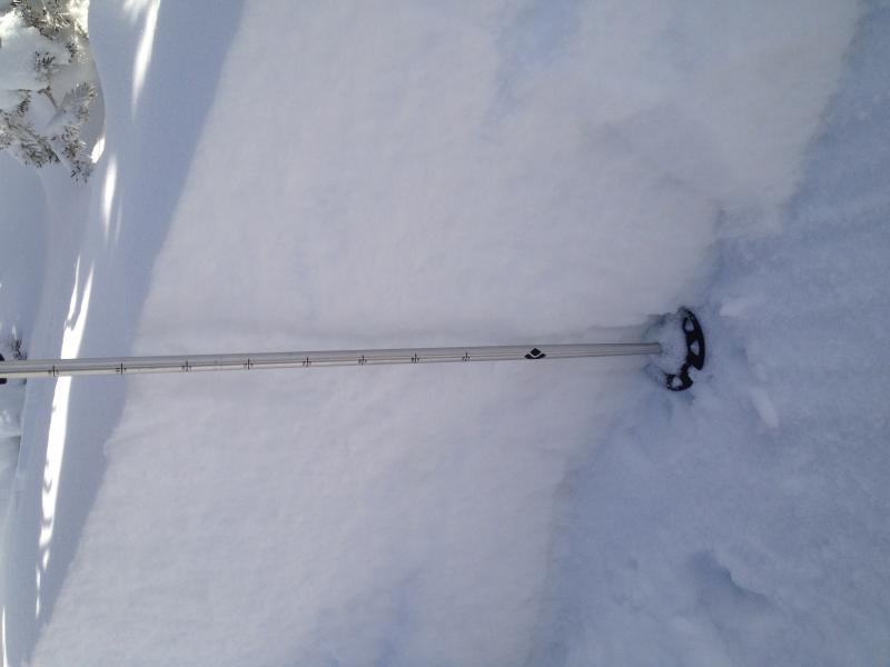
Depth
18"
Width
90'
Vertical
400'
Comments
From a safe location, we were deskinning about to ski cut the slope when the slope settled and broke loose. It first broke about 20 feet above us and about 30-40 feet to the side, and then another broke loose about 100-150 feet above us and about 100 feet to the side. we checked out the crown a little a few minutes after but decended the slide path quickly as we were worried something or someone above us would set off another one on to us.
FORECASTER COMMENTS: Judging by the depth and being able to see nuerous layers, I speculate that this took out the last two storms worth of snow and failed on faceted snow formed Nov 24 to Dec 2.
Coordinates